Benham — can refer to:People* Andrew Ellicot Kennedy Benham, admiral * Chris Benham, cricketer * Donald Benham, politician * Flip Benham, Christian fundamentalist * Henry Washington Benham, 19th century American soldier * Robert Benham, Georgia Supreme… … Wikipedia
Benham Park — is a mansion (on the site of Benham Valence Manor) in the English county of Berkshire, within the civil parish of Speen. It is located convert|2|mi|km west of Newbury, not far off the A34, near the village of Marsh Benham.The house was built by… … Wikipedia
Benham Lock — is a lock on the Kennet and Avon Canal, between Kintbury and Newbury. It is located below Marsh Benham, but in the civil parish of Enborne, in the English county of Berkshire.Benham Lock was built between 1718 and 1723 under the supervision of… … Wikipedia
Benham — This interesting surname is Anglo Scottish although the roots are quite different between the two nations. If English it derives from Benham in Berkshire, or Binham in Norfolk, although the latter place has few directly associated recordings. The … Surnames reference
Hungerford — For other uses, see: Hungerford (disambiguation) Coordinates: 51°24′52″N 1°30′53″W / 51.4144°N 1.5146°W / 51.4144; 1.5146 … Wikipedia
Midgham — Coordinates: 51°24′04″N 1°12′11″W / 51.401°N 1.203°W / 51.401; 1.203 … Wikipedia
Kennet and Avon Canal — The Kennet and Avon Canal is a canal in southern England. The name may refer to either the route of the original Kennet and Avon Canal Company, which linked the River Kennet at Newbury to the River Avon at Bath, or to the entire navigation… … Wikipedia
Newbury, Berkshire — Coordinates: 51°24′03″N 1°19′25″W / 51.4009°N 1.3235°W / 51.4009; 1.3235 … Wikipedia
West Berkshire — District Location of West Berkshire in Berkshire Geography Status: Unitary authority Region: South East England … Wikipedia
List of places in Berkshire — This is a list of settlements in Berkshire, England. See the list of places in England for places in other counties. Many of the settlements listed here are , and any red links represent settlements that currently do not have enough knowledge… … Wikipedia
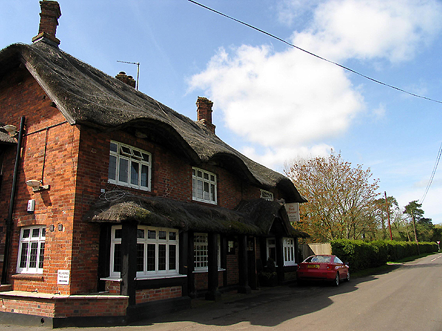
 The Red House
 Media related to Marsh Benham at Wikimedia Commons