- Augusta, Western Australia
Infobox Australian Place
type = town
name = Augusta
state = wa
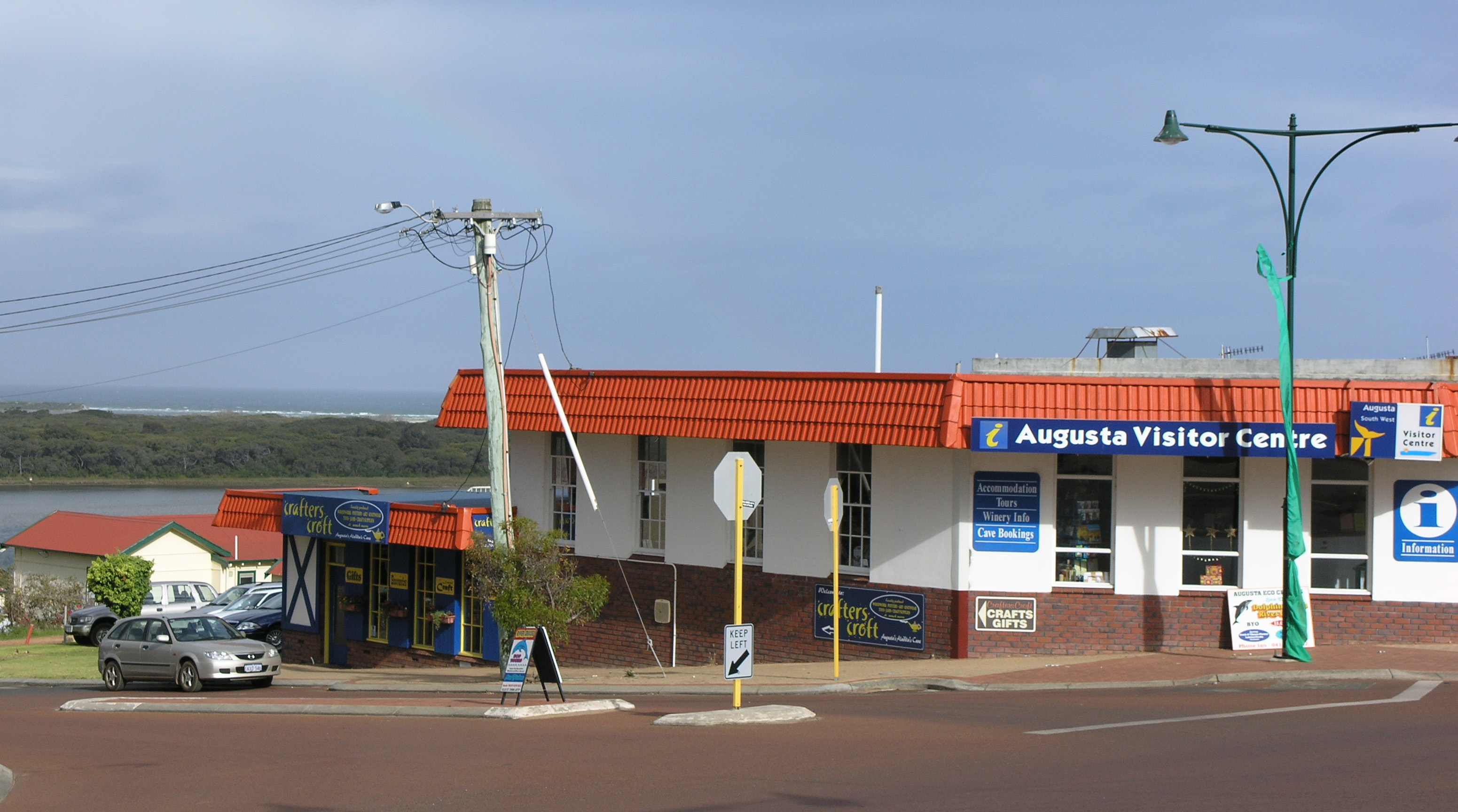
caption = Augusta visitors centre
lga =Shire of Augusta-Margaret River
postcode = 6290
est = 1830
pop = 1,068 (2006 Census) [Census 2006 AUS|id=UCL500600|name=Augusta (Urban Centre/Locality)|quick=on|accessdate=2008-09-06]
elevation= 14
maxtemp = 19.7
mintemp = 14.1
rainfall = 976.1
stategov = Blackwood-Stirling
fedgov = Forrest
dist1 = 322
dir1 = South
location1= Perth
dist2 = 146
dir2 = South
location2= Bunbury
dist3 = 169
dir3 = South West
location3= Manjimupcoord|-34.312|115.159|type:city(1068)_region:AU-WA_scale:50000|format=dms|display=titleAugusta is a town on the south-west coast of
Western Australia , where theBlackwood River emerges intoFlinders Bay . It is the nearest town toCape Leeuwin , on the furthest south-west corner of theAustralia ncontinent . In the 2001 census it had a population of 1,694; by 2006 the population of the town was 1,068. It is within theShire of Augusta-Margaret River Local Government area, and is in the Leeuwin Ward.Leeuwin-Naturaliste National Park mainly on the ridge to the west of the town.History
The first Europeans to see the area were the Dutch in 1622 who named the nearby Cape "Landt van de Leeuwin" or Land of the Lioness. Flinders renamed it in 1801 as Cape Leeuwin. [cite web|url=http://www.westaustralianvista.com/history-of-augusta.html|title=West Australian Vista - History of Augusta|year=2008|accessdate=2008-09-10]
Augusta was formed in 1830. In March of that year, a number of settlers, including
John Molloy and members of theBussell family , arrived at theSwan River Colony on board the "Warrior". On their arrival, theGovernor of Western Australia , Sir James Stirling, advised them that most of the good land near the Swan River had already been granted, and suggested that they form a new sub-colony in the vicinity of Cape Leeuwin. The following month, Stirling sailed with a party of prospective settlers on board the "Emily Taylor". After arriving at the mouth of the Blackwood River, the party spent four days exploring the area. Stirling then confirmed his decision to establish a subcolony, the settlers' property was disembarked, and the town of Augusta declared at the site.The town was named after the daughter of King George IV, Princess Augusta Sophia, by Governor Stirling. [LandInfo WA|a|A|2008-09-09]
During the 1880s an expansion of the timber industry occurred following the construction of a timber mill at nearby Kudardup and the completion of jetties at Hamelin Bay and Flinders Bay. [cite web|url=http://augusta.wa.au/history|title=Augusta WA - History|year=2008|accessdate=2008-09-10]
Augusta was a stopping place on the Busselton to
Flinders Bay Branch Railway , which was government run from the 1920s to the 1950s.Prior to thatM. C. Davies had a timber railway system that went to both Hamelin Bay and Flinders Bay jetties in the 1890s.Augusta was a summer holiday town for many during most of the twentieth century, but late in the 1990s many people chose to retire to the region for the cooler weather. As a consequence of this and rising land values in the Augusta Margaret River area, the region has experienced significant social change.
References
External links
* [http://www.alga.asn.au/policy/environment/coasts/caseStudies/augustaWA.php Australian Local Government Association - Shire of Augusta]
* [http://augusta.wa.au Augusta portal]
* [http://www.mysouthwest.com.au/ South West portal]
* [http://augusta.wa.au/history Official Augusta Information Website]
Wikimedia Foundation. 2010.