- Worthington, West Virginia
Infobox Settlement
official_name = Worthington, West Virginia
settlement_type =Town
nickname =
motto =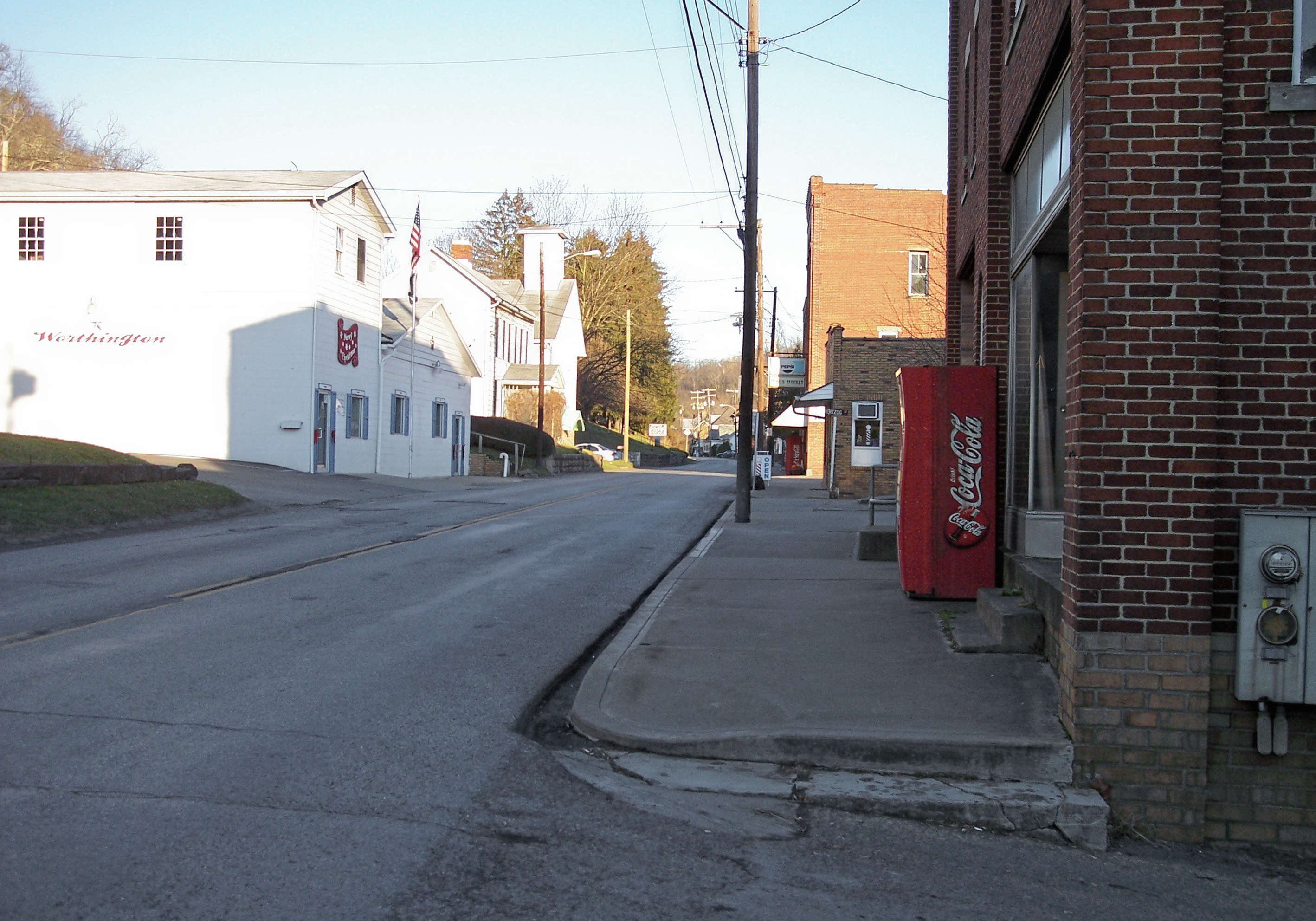
imagesize =
image_caption = Main Street (Route 19) in Worthington in 2006
image_
mapsize = 250x200px
map_caption = Location of Worthington, West Virginia
mapsize1 =
map_caption1 =subdivision_type = Country
subdivision_name =United States
subdivision_type1 = State
subdivision_name1 =West Virginia
subdivision_type2 = County
subdivision_name2 = Mariongovernment_footnotes =
government_type =
leader_title =
leader_name =
leader_title1 =
leader_name1 =
established_title =
established_date =area_footnotes =
area_magnitude =
area_total_km2 = 1.5
area_land_km2 = 1.5
area_water_km2 = 0.0
area_total_sq_mi = 0.6
area_land_sq_mi = 0.6
area_water_sq_mi = 0.0population_as_of = 2000
population_footnotes =
population_total = 170
population_density_km2 = 114.3
population_density_sq_mi = 296.2timezone = Eastern (EST)
utc_offset = -5
timezone_DST = EDT
utc_offset_DST = -4
elevation_footnotes =
elevation_m = 281
elevation_ft = 922
latd = 39 |latm = 27 |lats = 6 |latNS = N
longd = 80 |longm = 15 |longs = 46 |longEW = Wpostal_code_type =
ZIP code
postal_code = 26591
area_code = 304
blank_name = FIPS code
blank_info = 54-88708GR|2
blank1_name = GNIS feature ID
blank1_info = 1556026GR|3
website =
footnotes =Worthington is a town in Marion County,
West Virginia , in theUnited States . The population was 170 at the 2000 census. Worthington was incorporated in 1893 and named for Colonel George Worthington, an early settler. ["West Virginia Blue Book." [http://www.legis.state.wv.us/Educational/publications/pub.cfm Published annually] by the Clerk's Office of theWest Virginia Senate .]Geography
Worthington is located at coor dms|39|27|6|N|80|15|46|W|city (39.451617, -80.262755),GR|1 along the
West Fork River . [cite book| title= West Virginia Atlas & Gazetteer |year=1997 |publisher=DeLorme |location=Yarmouth, Me. |isbn= 0-89933-246-3 |pages= p. 25]According to the
United States Census Bureau , the town has a total area of 1.5km² (0.6 mi²), all land.Demographics
As of the
census GR|2 of 2000, there were 170 people, 76 households, and 48 families residing in the town. Thepopulation density was 115.2/km² (296.2/mi²). There were 93 housing units at an average density of 63.0/km² (162.0/mi²). The racial makeup of the town was 99.41% White, and 0.59% from two or more races.There were 76 households out of which 22.4% had children under the age of 18 living with them, 53.9% were married couples living together, 5.3% had a female householder with no husband present, and 36.8% were non-families. 32.9% of all households were made up of individuals and 25.0% had someone living alone who was 65 years of age or older. The average household size was 2.24 and the average family size was 2.83.
In the town the population was spread out with 19.4% under the age of 18, 7.6% from 18 to 24, 32.9% from 25 to 44, 20.0% from 45 to 64, and 20.0% who were 65 years of age or older. The median age was 41 years. For every 100 females there were 97.7 males. For every 100 females age 18 and over, there were 90.3 males.
The median income for a household in the town was $28,750, and the median income for a family was $35,417. Males had a median income of $24,750 versus $23,750 for females. The
per capita income for the town was $14,490. About 10.2% of families and 15.0% of the population were below thepoverty line , including 26.3% of those under the age of eighteen and none of those sixty five or over.References
External links
Wikimedia Foundation. 2010.