- Dayton, Waupaca County, Wisconsin
-
Dayton, Wisconsin — Town — Nelson Park in northeastern Dayton Location of Dayton, Wisconsin
Coordinates: 44°18′24″N 89°9′25″W / 44.30667°N 89.15694°WCoordinates: 44°18′24″N 89°9′25″W / 44.30667°N 89.15694°W Country United States State Wisconsin County Waupaca Area – Total 36.4 sq mi (94.2 km2) – Land 35.2 sq mi (91.3 km2) – Water 1.2 sq mi (3.0 km2) Elevation[1] 892 ft (272 m) Population (2000) – Total 2,734 – Density 77.6/sq mi (30.0/km2) Time zone Central (CST) (UTC-6) – Summer (DST) CDT (UTC-5) FIPS code 55-19025[2] GNIS feature ID 1583056[1] Dayton is a town in Waupaca County, Wisconsin, United States. The population was 2,734 at the 2000 census. The unincorporated communities of Little Hope, Parfreyville, and Rural are located in the town. The census-designated place of Chain O' Lake is also partially located within the town.
Contents
Geography
According to the United States Census Bureau, the town has a total area of 36.4 square miles (94.2 km²), of which, 35.2 square miles (91.2 km²) of it is land and 1.1 square miles (3.0 km²) of it (3.16%) is water.
Demographics
As of the census[2] of 2000, there were 2,734 people, 1,046 households, and 816 families residing in the town. The population density was 77.6 people per square mile (30.0/km²). There were 1,484 housing units at an average density of 42.1 per square mile (16.3/km²). The racial makeup of the town was 97.95% White, 0.11% African American, 0.62% Native American, 0.22% Asian, 0.59% from other races, and 0.51% from two or more races. Hispanic or Latino of any race were 1.32% of the population.
There were 1,046 households out of which 34.1% had children under the age of 18 living with them, 66.1% were married couples living together, 7.6% had a female householder with no husband present, and 21.9% were non-families. 16.4% of all households were made up of individuals and 6.4% had someone living alone who was 65 years of age or older. The average household size was 2.61 and the average family size was 2.92.
In the town the population was spread out with 26.2% under the age of 18, 6.4% from 18 to 24, 26.4% from 25 to 44, 26.3% from 45 to 64, and 14.6% who were 65 years of age or older. The median age was 38 years. For every 100 females there were 101.0 males. For every 100 females age 18 and over, there were 100.5 males.
The median income for a household in the town was $47,195, and the median income for a family was $49,421. Males had a median income of $36,458 versus $22,128 for females. The per capita income for the town was $21,728. About 5.1% of families and 6.1% of the population were below the poverty line, including 7.8% of those under age 18 and 2.3% of those age 65 or over.
Images
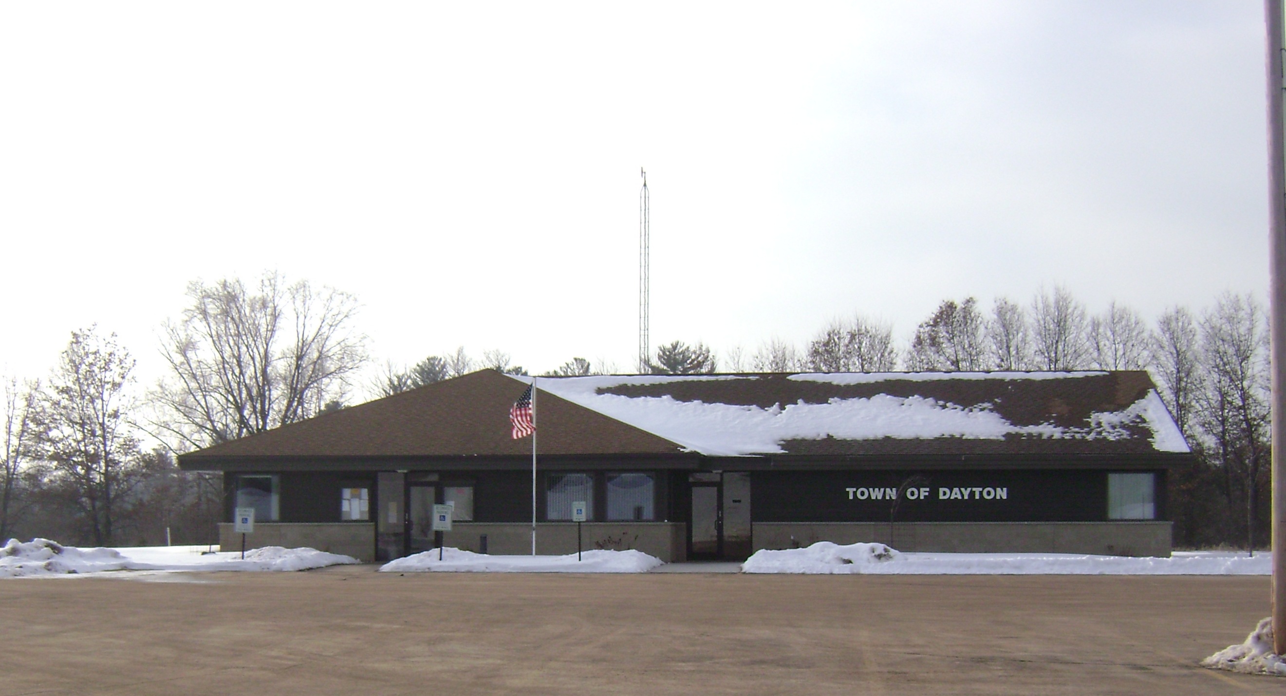
Dayton, Wisconsin  Dayton Town Hall
 Nelson Park in northeastern Dayton along the Crystal River
 The Red Mill in Little Hope, Wisconsin
 Crystal River
References
- ^ a b "US Board on Geographic Names". United States Geological Survey. 2007-10-25. http://geonames.usgs.gov. Retrieved 2008-01-31.
- ^ a b "American FactFinder". United States Census Bureau. http://factfinder.census.gov. Retrieved 2008-01-31.
External links
Municipalities and communities of Waupaca County, Wisconsin Cities Clintonville | Manawa | Marion‡ | New London‡ | Waupaca | Weyauwega

Villages Big Falls | Embarrass | Fremont | Iola | Ogdensburg | Scandinavia
Towns Bear Creek | Caledonia | Dayton | Dupont | Farmington | Fremont | Harrison | Helvetia | Iola | Larrabee | Lebanon | Lind | Little Wolf | Matteson | Mukwa | Royalton | Scandinavia | St. Lawrence | Union | Waupaca | Weyauwega | Wyoming
CDPs Chain O' Lakes | King | Northport
Unincorporated
communitiesFootnotes ‡This populated place also has portions in an adjacent county or counties
Categories:- Towns in Waupaca County, Wisconsin


Wikimedia Foundation. 2010.