Coeroeni — Suburbios del distrito de Sipaliwini, en color azul se muestra a Coeroenie Coeroenie (algunos lo escriben Coeroeni) es uno de los sububios en que se divide el distrito de sipaliwini, en Surinam. Este suburbio queda demarcado por el cauce del río… … Wikipedia Español
Coeroeni — Sp Kurūnis Ap Coeroeni L u. Gajanos ir Surinamo pasienyje … Pasaulio vietovardžiai. Internetinė duomenų bazė
Coeroeni River — The Coeroeni River is a river in South America. It arises in the northwestern part of Pará, Brazil, and flows northward remaining in Brazil for only a few kilometres. The Coeroeni goes on to form the southern half of the international boundary… … Wikipedia
Corantijn — Der Corantijn (Engl.: Courantyne) ist ein Fluss in Südamerika. Er bildet die Grenze zwischen Guyana und Suriname, gehört aber laut Schiedsgerichtspruch vollständig zum surinamischen Staatsgebiet. Inhaltsverzeichnis 1 Flussverlauf 2 Besonderheiten … Deutsch Wikipedia
Guyana — Cooperative Republic of Guyana República Cooperativa de Guyana … Wikipedia Español
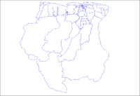
Sipaliwini — Distrito de Surinam Entidad Distrito … Wikipedia Español
Courantyne River — or Corantijn or Coeroeni River, northern South America. Rising in the Akarai Mountains, it flows north for 450 mi (700 km) and empties into the Atlantic Ocean near Nieuw Nickerie, Suri. It divides Suriname and Guyana; residents of the latter are… … Universalium
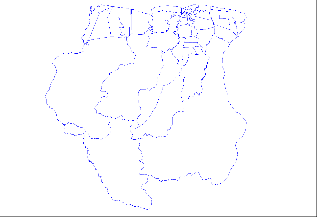
Districts of Suriname — Suriname This article is part of the series: Politics and government of Suriname Constitution President … Wikipedia
Commewijne District — Map of Suriname showing Commewijne district Commewijne is a district of Suriname, located on the right bank of the Suriname River. Commewijne s capital city is Nieuw Amsterdam. Alliance is another major town. The district has a population of… … Wikipedia
Coronie District — Map of Suriname showing Coronie district Coronie is a district of Suriname, situated on the coast. Coronie s capital city is Totness, with other towns including Corneliskondre, Friendship, Jenny. The district border the Atlantic Ocean to the… … Wikipedia

 Suriname
 Districts and resorts of Suriname