- County Road 4040 (Volusia County, Florida)
-
County Road 4040
Route information Maintained by Volusia County Public Works Department, Road and Bridge Division Length: 2.45 mi[1][2] (3.94 km) Major junctions West end:  SR 5A in Daytona Beach
 U.S. Route 1
East end:  SR A1A in Daytona Beach
Highway system Florida State and County Roads
Interstate • US • SR (Pre-1945) • Toll • County (Volusia)←  CR 4034
CR 4047  →
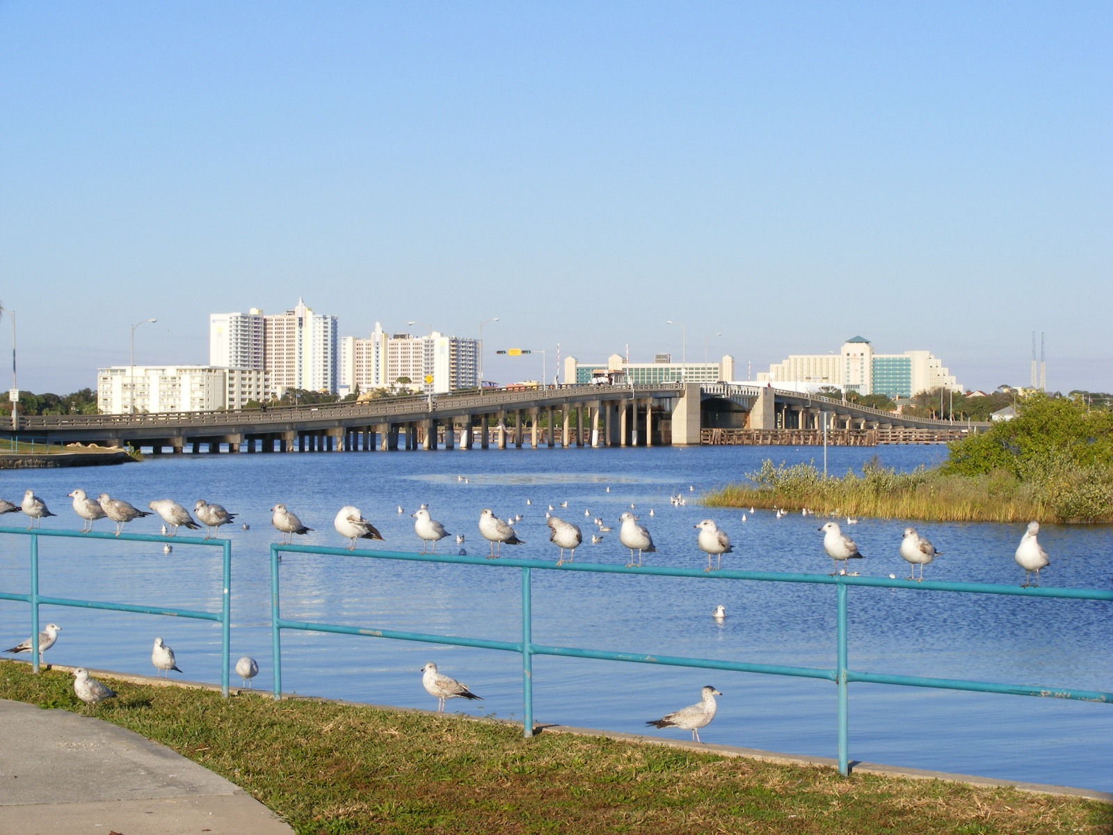
→ County Road 4040 crosses the Halifax River via the Main Street Bridge
Volusia County Road 4040 (locally known as George W. Engram Blvd., Fairview Avenue and Main Street) is a county road located entirely within Daytona Beach, Florida. It is 2.45 miles (3.94 km) long, from SR 5A (South Nova Road) to SR A1A (South Atlantic Avenue). It is a two-lane historic road, which connected Daytona and Seabreeze, which were two separate cities before consolidating with Daytona Beach in 1926.
Contents
Route description
Beginning at SR 5A, it starts as a two-lane road, known locally as George W. Engram Blvd. It proceeds East through a residential area and crosses the Florida East Coast Railway track. It continues East through an intersection with US 1 (South Ridgewood Avenue). After crossing US 1, the road is known as Fairview Avenue, which crosses the Halifax River and Intracoastal Waterway via the Main Street Bridge.
East of the Halifax River, CR 4040 is known locally as Main Street. The road intersects with Peninsula Drive and proceeds to its eastern terminus with SR A1A (Atlantic Avenue). Main Street is the dividing line between North and South street names on the beach peninsula.
Some of the local landmarks that the road passes include Cypress Street Park, Bethune-Cookman University, Harris Memorial Park, and Riverfront Park.
Daytona Beach Bike Week
In 1937, The Daytona 200 motorcycle race took place along the beach. This was the beginning of Daytona Beach Bike Week, one of the largest motorcycle rallies in the world. The Main Street section of CR 4040 became the focal point of the biker rally, which is now held during the first week of March every year. Up ro 500,000 visitors assemble for Bike Week which includes concerts, parties, a street festival and a parade. As a result, Main Street and the Main Street Bridge are closed to automobiles during the event, to accommodate all of the visitors. [3] [4] [5] [6] [7]
Historic District
The Main Street section of CR 4040 is part of the Seabreeze Historic District, a U.S. Historic District (designated as such on September 3, 1998), on the National Register of Historic Places. The district is bounded by University Boulevard, Halifax Road, Auditorium Boulevard, and North Atlantic Avenue. It contains 596 historic buildings. [8][9][10]
Major intersections
- SR 5A (South Nova Road)
- Florida East Coast Railway
- U.S. Route 1 (South Ridgewood Avenue)
 Florida State Road A1A (South Atlantic Avenue)
See also
References
- ^ FDOT GIS data
- ^ State of Florida, Dept. of Transportation, Survey and Mapping Office: General Highway Map of Volusia County, Florida
- ^ Bike Week at Daytona Beach: bad boys and fancy toys, by Roby Page, pg. 84
- ^ The fun seeker's North America: the ultimate travel guide to the most fun, by Alan S. Davis, Chuck Thompson, pg. 46-49
- ^ Sweet Machines & Bike Night Scenes, by Donna Madden, pg. 9-10
- ^ Daytona Beach: 100 Years of Racing, by Harold D. Cardwell, pg. 123
- ^ Born to be wild: a history of the American biker and bikes, 1947-2002, by Paul Garson, pg. 141-142
- ^ Gold, Pleasant Daniel (1927). History of Volusia County, Florida. Deland, FL: The E. O. Painter Printing Co.. [page needed].
- ^ Centennial History of Volusia County, Florida (1854–1954) Volusia County Historical Commission[page needed]
- ^ "Residents remember old town of Seabreeze". The Daytona Beach News-Journal. December 15, 1997.
External links
Categories:- County roads in Volusia County, Florida

Wikimedia Foundation. 2010.