- Mount Winans, Baltimore
-
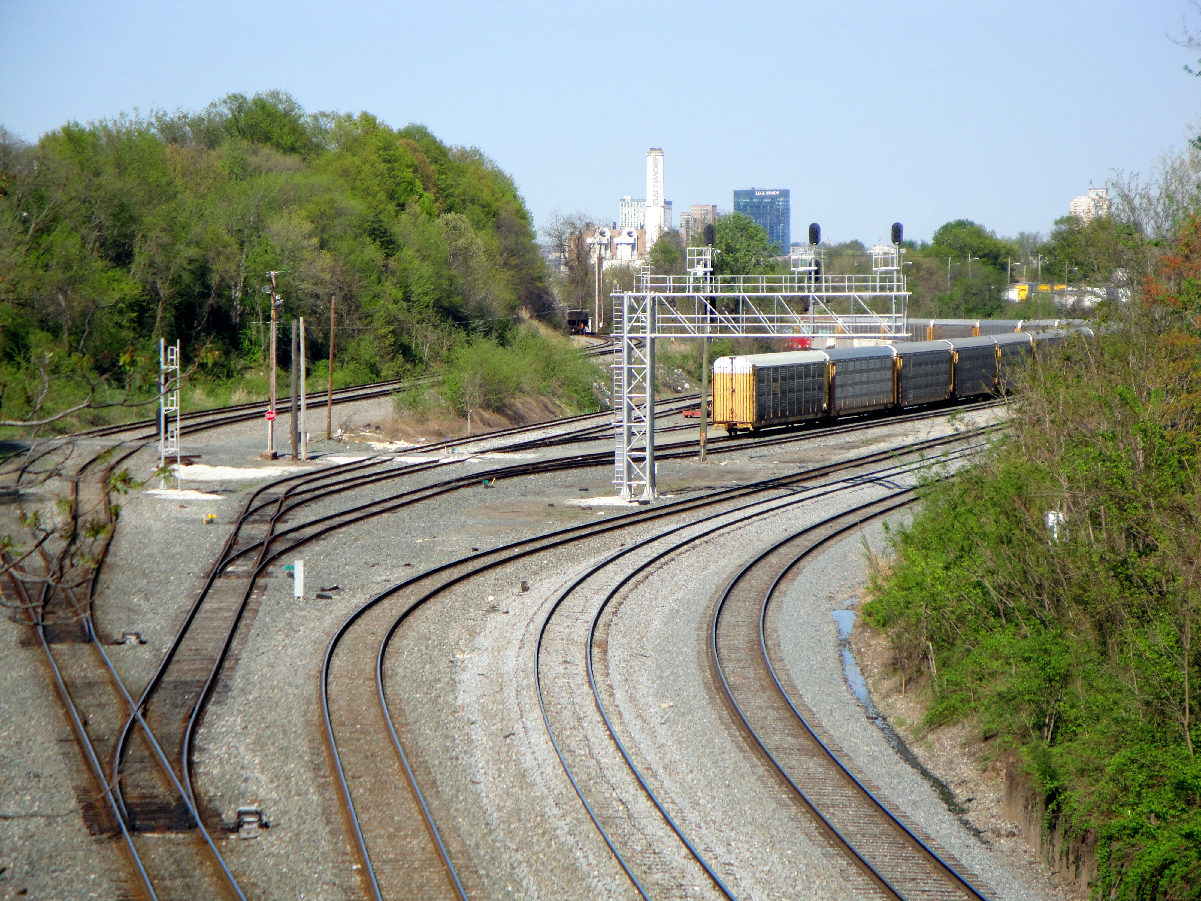
Mount Winans — Urban Neighborhood — Country United States State Maryland City Baltimore Area - Total .114 sq mi (0.3 km2) - Land .114 sq mi (0.3 km2) [1] Population (2008)[1] - Total 1,023 - Density 8,973.7/sq mi (3,464.8/km2) Time zone Eastern (UTC-5) - Summer (DST) EDT (UTC-4) ZIP code 21230 Area code 410 and 443  The CSX rail yard through Mt. Winans
Mt. Winans is a mixed use residential, commercial and industrial neighborhood in southwest Baltimore, Maryland. Its north, south and east boundaries are marked by the CSX Railroad. Hollins Ferry Road draws its west boundary.
The neighborhood was named after Ross Winans, an inventor of railway steam engines.[2]
History
The Baltimore and Ohio Railroad, the oldest common carrier railroad in the United States, built its original main line through Mt. Winans in 1828 to 1829.[3] Additional tracks to reach the new Camden Station were built through the area in 1868.[4] The rail lines are currently owned by CSX and operated as its Baltimore Terminal Subdivision.
The neighborhood began as a tiny village, established on the west side of Hollins Ferry Road in 1869-1870, known as Hullsville. In 1871, the Sharp Street Methodist Church purchased a lot in Hullsville for the Mount Auburn Cemetery. A small chapel was built on the lot in 1876, originally known as the Sharp Street Mission, later renamed the Mount Winans United Methodist Church.[5]
Ross Winans purchased a portion of the 2,368 acre Mount Clare estate, originally owned by Dr. Charles Carroll, in the 1860s. After building streets, orchards, greenhouses, and a railroad station on the property, Winans began selling lots in the new community of Mount Winans in the 1880s. Many of the original houses and orchards in Mount Winans were destroyed by a fire on April 3, 1905.[6]
Notable natives
References
- ^ a b "Mount Winands neighborhood" City-data.com. Retrieved 2010-10-13.
- ^ Thomas G. Rolston (2004). Fifty Years Before Crack, p. 14. Virtualbookwork.com Publishing. ISBN 1589395018.
- ^ Harwood, Jr., Herbert H. (1979). Impossible Challenge: The Baltimore & Ohio Railroad in Maryland. Baltimore, MD: Barnard, Roberts. p. 18. ISBN 0-934118-17-5.
- ^ Lane, H.A. (1910). "The Baltimore and Ohio Railroad Stations at Philadelphia and Baltimore". Proceedings of the American Railway Engineering Association. 11. p. 1271. http://books.google.com/books?id=73KVI36dqC0C&pg=PA1271&dq=%22mt+winans%22baltimore&hl=en&ei=qn22TMe_GML78Abau9XNBA&sa=X&oi=book_result&ct=result&resnum=5&ved=0CDgQ6AEwBDge#v=onepage&q=%22mt%20winans%22baltimore&f=false.
- ^ "Journey through the history of Mt. Winans United Methodist Church". Retrieved 2010-10-14.
- ^ "Ross Winans." Friends of Orianda House. Retrieved 2010-10-14.
- ^ Bob Luke (2009). The Baltimore Elite Giants, p. 151. The Johns Hopkins University Press. ISBN 9780801891168.
Neighborhoods in Baltimore, Maryland Northwest Arlington • Ashburton • Cheswolde • Fallstaff • Forest Park • Glen • Howard • Park Heights • Pimlico • Reisterstown Station • Television Hill
North Abell • Barclay • Bellona-Gittings • Better Waverly • Cameron • Charles Village • Cedarcroft • Chinquapin Park-Belvedere • Cylburn • Edgecomb • Evergreen • Govans • Guilford • Hampden • Harwood • Homeland • Homewood • Keswick • Lake Evesham • Lake Walker • Little Korea Town • Medfield • Mount Washington • Oakenshawe • Pen Lucy • Poplar Hill • Radnor-Winston • Remington • Roland Park • Sabina Mattefeldt • Tuscany-Canterbury • Village of Cross Keys • Waverly • Woodberry • Wyman Park • Wyndhurst
Northeast Belair-Edison • Cedonia • Coldstream-Homestead-Montebello • Ednor Gardens-Lakeside • Frankford • Gardenville • Hamilton • Hillen • Lauraville • Loch Raven • Mayfield • Mid-Govans • Northwood • Ramblewood • Stonewood-Pentwood-Winston • Wilson Park • Woodbourne Heights
West Bridgeview/Greenlawn • Coppin Heights • Edmondson • Franklin Square • Harlem Park • Lexington • Mondawmin • Mosher • Poppleton • Rosemont • Sandtown - Winchester • Upton •
Walbrook • Windsor HillsCentral Barre Circle • Bolton Hill • Charles Center • Downtown • Inner Harbor • Madison Park • Mount Vernon • Otterbein • Reservoir Hill • Ridgely's Delight • Seton Hill • Station North • Westside
East Barclay • Berea • Broadway East • Coldstream-Homestead-Montebello • East Baltimore Midway • Ellwood Park • Four By Four • Greenmount West • Madison-Eastend • McElderry Park • Middle East • Oldtown-Latrobe • Oliver • Orangeville
Southwest Beechfield • Carrollton Ridge • Dickeyville • Franklintown • Gwynn's Falls • Hollins Market • Irvington • Morrell Park • Pigtown • Sowebo • Ten Hills • Union Square • Violetville • Wakefield • Washington Village • Yale Heights
South Brooklyn • Cherry Hill • Curtis Bay • Fairfield • Federal Hill • Harborview • Lakeland • Locust Point • Mount Winans • Pratt Monroe • South Baltimore • Wagner's Point • Westport
Southeast Bayview • Brewer's Hill • Butchers Hill • Canton • Fell's Point • Graceland Park • Greektown • Harbor East • Highlandtown • Jonestown • Joseph Lee • Kresson • Linwood • Little Italy • Patterson Park • St Helena • Upper Fells Point • Washington Hill
Public housing Allendale • Armistead Gardens • Bel Park Towers • Claremont • Douglass Homes • Ellerslie Homes • Flaghouse Homes • Govans Manor Homes • Heritage Crossing • Johnston Square • Lafayette Court • Latrobe Homes • Mason Homes • Lakeview Towers • McCulloh Homes • O'Donnell Heights • Perkins Homes • Pleasent View Gardens • Poe Homes • Primrose Place • Somerset Courts
Parks Clifton Park • Cylburn Arboretum • Druid Hill Park • Gwynns Falls Park • Leakin Park • Patterson Park • Sherwood Gardens • Wyman Park
Categories:- Neighborhoods in Baltimore, Maryland
- Maryland geography stubs
Wikimedia Foundation. 2010.