- National Register of Historic Places listings in Jefferson County, Washington
-
List of entries on the National Register of Historic Places in Jefferson County, Washington
-
- This National Park Service list is complete through NPS recent listings posted November 10, 2011.[1]
[2] Landmark name [3] Image Date listed Location City or town Summary 1 ADVENTURESS 
None Lake Union Drydock
47°38′06″N 122°19′39″W / 47.635°N 122.3275°WPort Townsend 2 Frank Bartlett House 
April 24, 1973 314 Polk St.
48°06′54″N 122°45′27″W / 48.115°N 122.7575°WPort Townsend 3 Henry Bash House 
May 16, 1985 718 F St.
48°07′17″N 122°46′09″W / 48.121389°N 122.769167°WPort Townsend 4 Senator William Bishop House and Office 
October 10, 1984 Chimacum-Center Rd.
48°00′39″N 122°46′05″W / 48.010833°N 122.768056°WChimacum 5 Botten Cabin 
July 13, 2007 20.9 mi. from Whiskey Bend Trailhead on the Elwha River Trail
47°45′50″N 123°27′16″W / 47.763889°N 123.454444°WPort Angeles 6 Chimacum Post Office July 14, 1983 Chimacum-Center Rd.
48°00′39″N 122°46′01″W / 48.010833°N 122.766944°WChimacum 7 City Hall 
May 14, 1971 Water and Madison Sts.
48°06′58″N 122°45′07″W / 48.116111°N 122.751944°WPort Townsend 8 Coleman-Furlong House May 16, 1985 1253 Umatilla Ave.
48°07′29″N 122°47′22″W / 48.124722°N 122.789444°WPort Townsend 9 Duckabush River Bridge July 16, 1982 Spans Duckabush River
47°41′25″N 122°53′52″W / 47.690278°N 122.897778°WDuckabush Historic Bridges and Tunnels in Washington TR 10 Joel Edwards House May 16, 1985 913 25th St.
48°07′05″N 122°47′09″W / 48.118056°N 122.785833°WPort Townsend 11 Elk Lick Lodge July 13, 2007 13 mi. from Whiskey Bend Trailhead on the Elwha River Trail
47°51′26″N 123°28′09″W / 47.857222°N 123.469167°WPort Angeles 12 Enchanted Valley Chalet 
July 13, 2007 13 mi. upriver from Graves Cr. Trailhead
47°40′31″N 123°23′21″W / 47.675278°N 123.389167°WPort Angeles 13 Thomas Fitzgerald House 
May 16, 1985 832 T St.
48°07′50″N 122°45′49″W / 48.130556°N 122.763611°WPort Townsend 14 Fort Flagler 
May 3, 1976 SE of Port Townsend on Marrowstone Island
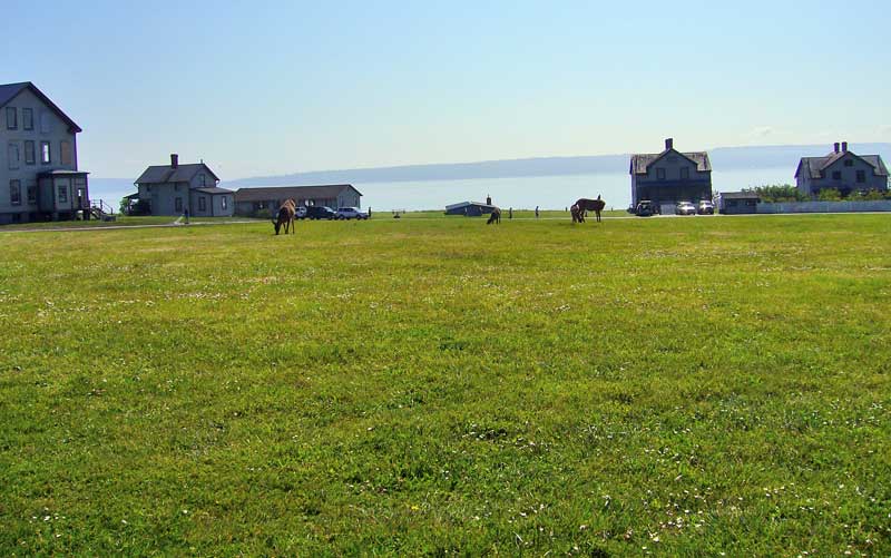
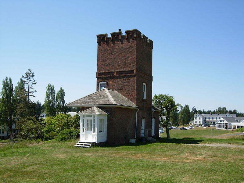
48°05′48″N 122°40′25″W / 48.096667°N 122.673611°WPort Townsend Now a Washington State Park. 15 Fort Worden 
March 15, 1974 Cherry and W Sts.
48°08′20″N 122°45′58″W / 48.138889°N 122.766111°WPort Townsend Also a Washington State Park. 16 Capt. Enoch S. Fowler House 
September 29, 1970 Corner of Polk and Washington Sts.
48°06′50″N 122°45′35″W / 48.113889°N 122.759722°WPort Townsend Is on the Washington Trust for Historic Preservation's Most Endangered Historic Properties List.[4]
17 Gagen-Sherlock House 
March 19, 1982 1906 Cherry St.
48°07′47″N 122°46′05″W / 48.129722°N 122.768056°WPort Townsend 18 Galster House July 14, 1983 Water St.
48°02′02″N 122°45′54″W / 48.033889°N 122.765°WLower Hadlock 19 Graves Creek Ranger Station 
July 13, 2007 Approx. 22 mi. NE of WA 101 on Quinault River Rd. Port Angeles 20 J. W. Griffiths House May 16, 1985 2030 Monroe St.
48°07′33″N 122°45′38″W / 48.125833°N 122.760556°WPort Townsend 21 Happy Four Shelter July 13, 2007 Approx. 5.4 along Hoh River Trail
47°52′06″N 123°49′41″W / 47.868333°N 123.828056°WPort Angeles 22 F. C. Harper House May 16, 1985 502 Reed St.
48°07′34″N 122°45′41″W / 48.126111°N 122.761389°WPort Townsend 23 Hayes River Fire Cache July 13, 2007 Approx. 16.8 mi. up the Elwha River Trail
47°48′34″N 123°27′09″W / 47.809444°N 123.4525°WPort Angeles 24 House at 1723 Holcomb Street 
May 16, 1985 1723 Holcomb St.
48°06′46″N 122°47′07″W / 48.112778°N 122.785278°WPort Townsend 25 House at 30 Tremont Street May 16, 1985 30 Tremont St.
48°07′34″N 122°45′32″W / 48.126111°N 122.758889°WPort Townsend 26 House at 503 Fir Street 
May 16, 1985 503 Fir St.
48°07′11″N 122°47′42″W / 48.119722°N 122.795°WPort Townsend 27 Irondale Historic District July 14, 1983 Port Townsend Bay and Admirally Inlet
48°02′33″N 122°45′58″W / 48.0425°N 122.766111°WPort Townsend 28 Irondale Jail July 14, 1983 Moore St.
48°02′42″N 122°46′04″W / 48.045°N 122.767778°WIrondale 29 Francis Wilcox James House 
September 29, 1970 Corner of Washington and Harrison Sts. Port Townsend 30 Jefferson County Courthouse 
April 24, 1973 Jefferson and Case Sts.
48°06′44″N 122°45′59″W / 48.112222°N 122.766389°WPort Townsend 31 Johnson House July 14, 1983 287 Flagler Rd.
48°02′58″N 122°41′17″W / 48.049444°N 122.688056°WNordland 32 Kuhn Spit Archeological Site 
December 22, 1978 Address Restricted Chimacum 33 Lake-Little House 
May 16, 1985 1607 Sheridan St.
48°06′43″N 122°47′23″W / 48.111944°N 122.789722°WPort Townsend 34 J. N. Laubach House 
May 16, 1985 613 F St.
48°07′14″N 122°46′05″W / 48.120556°N 122.768056°WPort Townsend 35 Leader Building 
September 29, 1970 226 Adams St.
48°06′55″N 122°45′15″W / 48.115278°N 122.754167°WPort Townsend Also known as the Fowler Building. 36 Manresa Hall 
September 29, 1970 Sheridan St.
48°06′17″N 122°47′20″W / 48.104722°N 122.788889°WPort Townsend Also known as Eisenbeis Castle and Manresa Inn. 37 Methodist Epscopal Church of Port Hadlock July 14, 1983 Randolph and Curtiss Sts.
48°02′03″N 122°46′09″W / 48.034167°N 122.769167°WHadlock 38 O. L. and Josephine Morgan House 
May 16, 1985 1033 Pierce St.
48°07′03″N 122°46′00″W / 48.1175°N 122.766667°WPort Townsend 39 Nelson House October 10, 1984 Freeman Rd.
48°02′06″N 122°41′34″W / 48.035°N 122.692778°WNordland 40 North Fork Quinault Ranger Station July 13, 2007 Approx. 18 mi. NE of WA 101 on N. Fork Rd. off N. Shore Quinault Rd. Port Angeles 41 Earl Oatman House July 14, 1983 Muncie St.
47°49′03″N 122°44′22″W / 47.8175°N 122.739444°WQuilcene 42 Old German Consulate 
February 24, 1971 313 Walker St. Port Townsend 43 Olympus Guard Station November 5, 2007 Approx. 9 mi. from Hoh River Trailhead at Hoh Ranger Station Port Angeles 44 Pearson House May 16, 1985 1939 27th St.
48°07′09″N 122°47′26″W / 48.119167°N 122.790556°WPort Townsend 45 Pelton Creek Shelter July 13, 2007 Approx. 15.5 mi. up the Queets River Trail
47°42′09″N 123°45′48″W / 47.7025°N 123.763333°WPort Angeles 46 H. S. Petersen House 
May 16, 1985 50th and Kuhn St.
48°08′10″N 122°46′49″W / 48.136111°N 122.780278°WPort Townsend 47 Benjamin S. Pettygrove House 
September 25, 1985 1000 G St.
48°07′20″N 122°46′19″W / 48.122222°N 122.771944°WPort Townsend Also known as the Pettygrove House. 48 Point Wilson Lighthouse 
March 24, 1971 On a point of land between Juan de Fuca Strait and Admiralty Inlet
48°08′39″N 122°45′14″W / 48.144167°N 122.753889°WPort Townsend 49 Port Townsend Carnegie Library 
August 3, 1982 1220 Lawrence
48°07′00″N 122°45′44″W / 48.116667°N 122.762222°WPort Townsend Carnegie Libraries of Washington TR 50 Port Townsend Historic District 
May 17, 1976 Roughly bounded by Scott, Blaine, Walker, and Taft Sts., and the Waterfront
48°07′01″N 122°45′39″W / 48.116944°N 122.760833°WPort Townsend 51 Quilcene-Quinault Battleground Site December 29, 1978 Address Restricted Quilcene 52 Judge Ralston House May 16, 1985 1523 Madison St.
48°07′27″N 122°45′38″W / 48.124167°N 122.760556°WPort Townsend 53 Rothschild House 
September 29, 1970 Taylor and Franklin Sts.
48°06′58″N 122°45′23″W / 48.116111°N 122.756389°WPort Townsend Built in 1868, this is Port Townsend's oldest house. 54 Hanna Rover House July 14, 1983 Chimacum-Center Rd.
47°58′23″N 122°46′11″W / 47.973056°N 122.769722°WCenter 55 Saint's Rest, Tukey's Pioneer Cabin and Homestead House July 14, 1983 Chevy Chase Rd.
48°03′11″N 122°50′34″W / 48.053056°N 122.842778°WPort Townsend 56 James C. Saunders House 
October 18, 1977 Sims Way
48°06′13″N 122°47′11″W / 48.103611°N 122.786389°WPort Townsend 57 Ferdinand Schlager House 
May 16, 1985 810 Rose St.
48°07′20″N 122°46′09″W / 48.122222°N 122.769167°WPort Townsend 58 Seal Rock Shell Mounds (45JE15) June 12, 1985 Address Restricted Brinnon 59 Capt. Peter Shibles House July 14, 1983 Curtiss St.
48°02′04″N 122°46′01″W / 48.034444°N 122.766944°WHadlock 60 Tollef Sole House July 14, 1983 275 Flagler Rd.
48°02′55″N 122°41′29″W / 48.048611°N 122.691389°WNordland 61 St. Paul's Episcopal Church 
September 29, 1970 Corner of Jefferson and Tyler Sts.
48°06′56″N 122°45′28″W / 48.115556°N 122.757778°WPort Townsend 62 Starrett House 
September 29, 1970 744 Clay St.
48°07′05″N 122°45′25″W / 48.118056°N 122.756944°WPort Townsend 63 Andrew Stegerwald House May 16, 1985 1710 Fir St.
48°07′41″N 122°45′55″W / 48.128056°N 122.765278°WPort Townsend 64 Hans Swanson House July 14, 1983 Swansonville Rd.
47°56′20″N 122°42′15″W / 47.938889°N 122.704167°WPort Ludlow 65 John Trumbull House May 16, 1985 925 Wilson St.
48°06′26″N 122°47′15″W / 48.107222°N 122.7875°WPort Townsend 66 Horace Tucker House 
January 18, 1973 706 Franklin St.
48°07′03″N 122°45′20″W / 48.1175°N 122.755556°WPort Townsend 67 Uncas School February 5, 1987 E. Uncas
47°59′02″N 122°52′56″W / 47.983889°N 122.882222°WDiscovery 68 US Post Office-Port Townsend Main 
May 30, 1991 1322 Washington
47°34′06″N 122°45′47″W / 47.568333°N 122.763056°WPort Townsend 69 Van Trojen House October 10, 1984 Van Trojen Rd.
47°59′43″N 122°48′38″W / 47.995278°N 122.810556°WChimacum 70 Milo P. Ward House May 16, 1985 1707 Jackson St.
48°07′33″N 122°45′35″W / 48.125833°N 122.759722°WPort Townsend 71 Hattie Williams House July 14, 1983 Moore St.
48°02′07″N 122°46′30″W / 48.035278°N 122.775°WIrondale See also
References
- ^ "National Register of Historic Places: Weekly List Actions". National Park Service, United States Department of the Interior. Retrieved on November 10, 2011.
- ^ Numbers represent an ordering by significant words. Various colorings, defined here, differentiate National Historic Landmark sites and National Register of Historic Places Districts from other NRHP buildings, structures, sites or objects.
- ^ "National Register Information System". National Register of Historic Places. National Park Service. . http://nrhp.focus.nps.gov/natreg/docs/All_Data.html.
- ^ Most Endangered Properties :: The Washington Trust for Historic Preservation
U.S. National Register of Historic Places Topics Lists by states Alabama • Alaska • Arizona • Arkansas • California • Colorado • Connecticut • Delaware • Florida • Georgia • Hawaii • Idaho • Illinois • Indiana • Iowa • Kansas • Kentucky • Louisiana • Maine • Maryland • Massachusetts • Michigan • Minnesota • Mississippi • Missouri • Montana • Nebraska • Nevada • New Hampshire • New Jersey • New Mexico • New York • North Carolina • North Dakota • Ohio • Oklahoma • Oregon • Pennsylvania • Rhode Island • South Carolina • South Dakota • Tennessee • Texas • Utah • Vermont • Virginia • Washington • West Virginia • Wisconsin • WyomingLists by territories Lists by associated states Other  Category:National Register of Historic Places •
  Portal:National Register of Historic Places
Municipalities and communities of Jefferson County, Washington County seat: Port Townsend City 
CDP Unincorporated
communitiesBeckett Point | Cape George | Center | Chimacum | Clearwater | Discovery Bay | Gardiner | Indian Island | Kalaloch | Queets
Indian reservation Quinault Indian Reservation‡
Footnotes ‡This populated place also has portions in an adjacent county or counties
Categories:- National Register of Historic Places in Washington (state) by county
- Jefferson County, Washington
- History of Jefferson County, Washington
-


Wikimedia Foundation. 2010.