- National Register of Historic Places listings in Silver Bow County, Montana
-
 Location of Silver Bow County in Montana
This is a list of the National Register of Historic Places listings in Silver Bow County, Montana. It is intended to be a complete list of the properties and districts on the National Register of Historic Places in Silver Bow County, Montana, United States. The locations of National Register properties and districts for which the latitude and longitude coordinates are included below, may be seen in a Google map.[1]
There are 17 properties and districts listed on the National Register in the county, including 2 National Historic Landmarks.
-
- This National Park Service list is complete through NPS recent listings posted November 10, 2011.[2]
Listings county-wide
[3] Landmark name Image Date listed Location City or town Summary 1 Big Hole Pumpstation 
September 24, 1980 Montana Highway 43
45°45′50″N 112°47′14″W / 45.763889°N 112.787222°WButte 2 Butte, Anaconda and Pacific Railway Historic District October 13, 1988 Right-of-way begins in Butte and travels to Anaconda, generally along the course of Silver Bow Creek; also the confluence of German Gulch and Silver Bow Creeks at the eastern end of Silver Bow Canyon
46°02′37″N 112°44′25″W / 46.043611°N 112.740278°WButte Extends into Deer Lodge County. Location at the confluence represents a boundary increase, added on January 13, 1989 3 Butte-Anaconda Historic District 
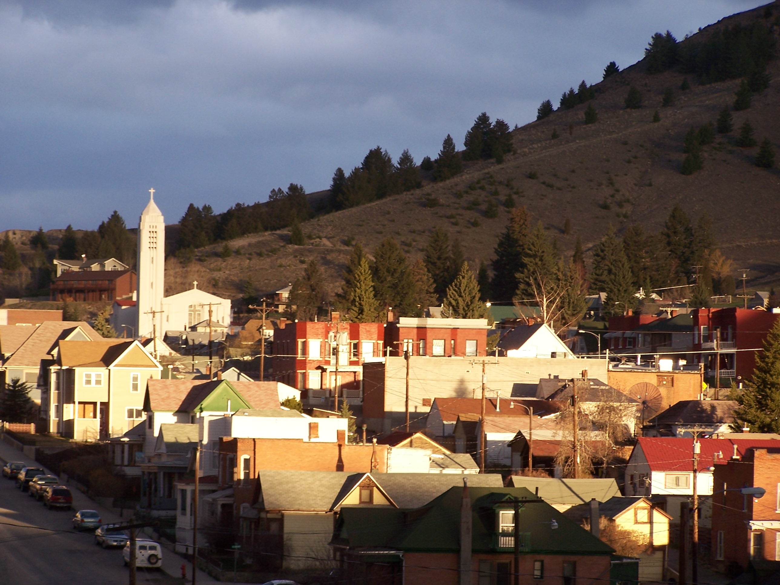
October 15, 1966 Most of the developed areas of Anaconda, Butte, and Walkerville
46°00′55″N 112°32′10″W / 46.015278°N 112.536111°WButte and Walkerville Extends into Deer Lodge County 4 Charles W. Clark Mansion October 22, 1976 108 N. Washington St.
46°00′49″N 112°32′28″W / 46.013611°N 112.541111°WButte 5 W. A. Clark Mansion October 6, 1970 219 W. Granite
46°00′52″N 112°32′21″W / 46.014444°N 112.539167°WButte 6 Hawthorne Grade School January 25, 1988 3500 White Way
45°58′28″N 112°29′16″W / 45.974444°N 112.487778°WButte 7 Longfellow Grade School January 25, 1988 1629 Roosevelt Ave.
45°58′47″N 112°30′54″W / 45.979722°N 112.515°WButte 8 Madison Grade School January 25, 1988 45 E. Greenwood
45°59′24″N 112°32′06″W / 45.99°N 112.535°WButte 9 Matt's Place Drive-In March 29, 2001 2339 Placer St.
45°59′30″N 112°32′18″W / 45.991667°N 112.538333°WButte 10 Parrot Mine Shops Complex January 9, 2007 244 Anaconda Rd.
46°01′01″N 112°31′41″W / 46.016944°N 112.528056°WButte 11 Ramsay Historic District January 14, 1988 6.5 miles west of Butte on Interstate 90
46°00′20″N 112°41′09″W / 46.005556°N 112.685833°WButte 12 Silver Bow Brewery Malt House January 19, 1983 West of Butte off U.S. Route 91
46°00′22″N 112°38′35″W / 46.006111°N 112.643056°WButte 13 Silver Bow County Poor Farm Hospital July 16, 1981 3040 Continental Dr.
45°59′04″N 112°29′09″W / 45.984444°N 112.485833°WButte 14 Socialist Hall 
May 26, 1995 1957 Harrison Ave.
45°59′39″N 112°30′45″W / 45.994167°N 112.5125°WButte 15 U.S. Post Office November 15, 1979 400 N. Main St
46°00′52″N 112°32′19″W / 46.014444°N 112.538611°WButte 16 Burton K. Wheeler House December 8, 1976 1232 E. 2nd St.
46°00′20″N 112°31′13″W / 46.005556°N 112.520278°WButte 17 Wold Barn January 8, 2009 Southwestern corner of the junction of Hecla and 3rd Sts. Butte See also
- List of National Historic Landmarks in Montana
- National Register of Historic Places listings in Montana
References
- ^ The latitude and longitude information provided in this table was derived originally from the National Register Information System, which has been found to be fairly accurate for about 99% of listings. For about 1% of NRIS original coordinates, experience has shown that one or both coordinates are typos or otherwise extremely far off; some corrections may have been made. A more subtle problem causes many locations to be off by up to 150 yards, depending on location in the country: most NRIS coordinates were derived from tracing out latitude and longitudes off of USGS topographical quadrant maps created under North American Datum of 1927, which differs from the current, highly accurate GPS system used by Google maps. Chicago is about right, but NRIS longitudes in Washington are higher by about 4.5 seconds, and are lower by about 2.0 seconds in Maine. Latitudes differ by about 1.0 second in Florida. Some locations in this table may have been corrected to current GPS standards.
- ^ "National Register of Historic Places: Weekly List Actions". National Park Service, United States Department of the Interior. Retrieved on November 10, 2011.
- ^ Numbers represent an ordering by significant words. Various colorings, defined here, differentiate National Historic Landmark sites and National Register of Historic Places Districts from other NRHP buildings, structures, sites or objects.
U.S. National Register of Historic Places Topics Lists by states Alabama • Alaska • Arizona • Arkansas • California • Colorado • Connecticut • Delaware • Florida • Georgia • Hawaii • Idaho • Illinois • Indiana • Iowa • Kansas • Kentucky • Louisiana • Maine • Maryland • Massachusetts • Michigan • Minnesota • Mississippi • Missouri • Montana • Nebraska • Nevada • New Hampshire • New Jersey • New Mexico • New York • North Carolina • North Dakota • Ohio • Oklahoma • Oregon • Pennsylvania • Rhode Island • South Carolina • South Dakota • Tennessee • Texas • Utah • Vermont • Virginia • Washington • West Virginia • Wisconsin • WyomingLists by territories Lists by associated states Other  Category:National Register of Historic Places •
  Portal:National Register of Historic Places
Municipalities and communities of Silver Bow County, Montana County seat: Butte City 
Town Categories:- National Register of Historic Places in Montana by county
- Silver Bow County, Montana
-


Wikimedia Foundation. 2010.