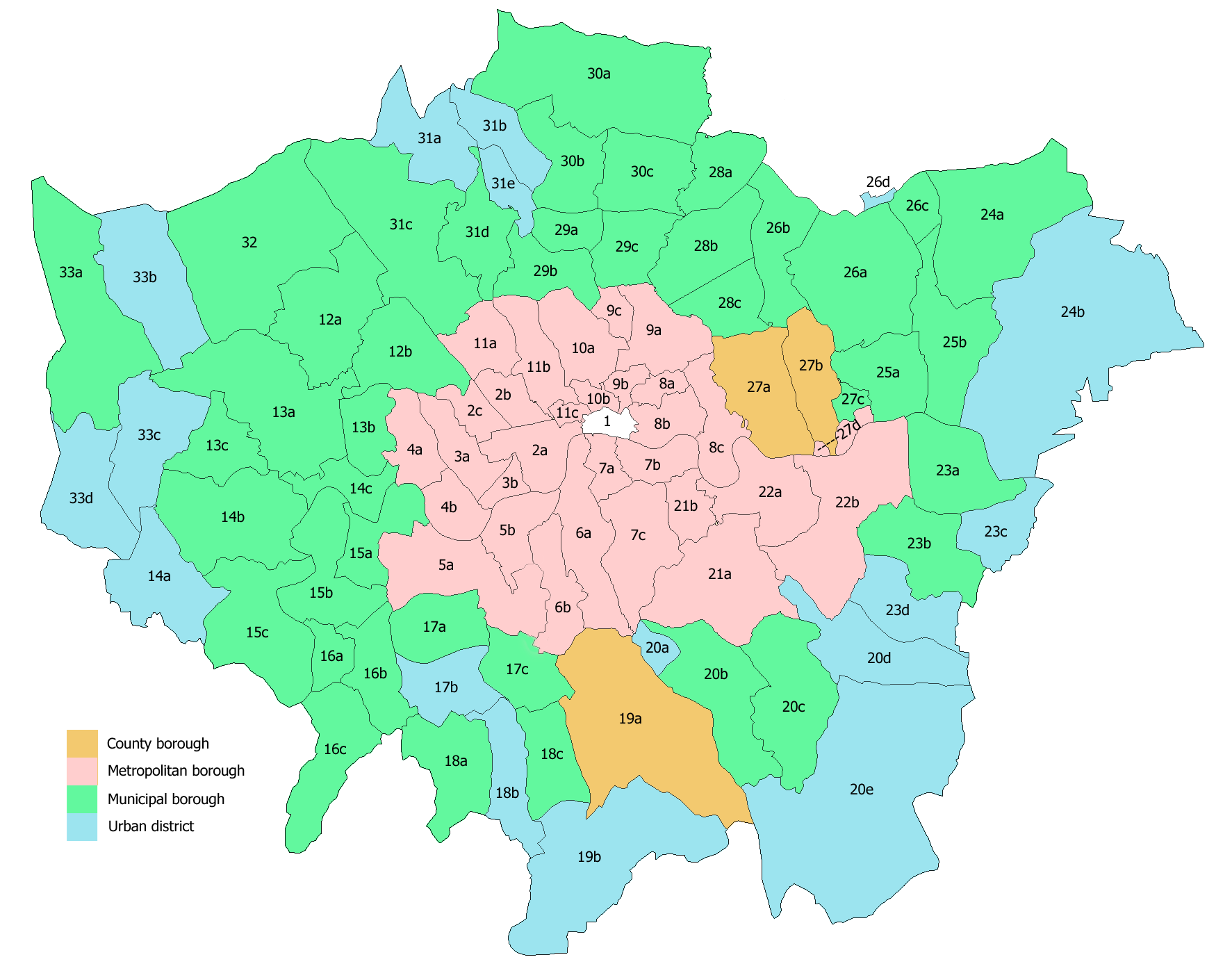
- Municipal Borough of Kingston upon Thames
-
Kingston upon Thames Geography Status Municipal borough (1835—1965)
Royal borough (confirmed 1927)
Civil parish (1894—1965)1911 area 1,133 acres (4.6 km2) 1931 area 1,131 acres (4.6 km2) 1961 area 1,408 acres (5.7 km2) HQ Kingston Guildhall History Origin Kingston upon Thames ancient borough Created 1835 Abolished 1965 Succeeded by London Borough of Kingston upon Thames Demography 1911 population
- 1911 density37,975
33/acre1931 population
- 1931 density39,055
34/acre1961 population
- 1961 density36,461
26/acrePolitics Governance Kingston Corporation Kingston upon Thames was a local government district in north east Surrey, England from 1835 to 1965 around the town of Kingston upon Thames. It was alternatively known as Kingston on Thames.[1] It was a municipal borough and also held the rarer status of Royal borough. The district was abolished in 1965 and was replaced with the larger London Borough of Kingston upon Thames in Greater London, with the Royal borough status passed to the new district.
History
The ancient borough of Kingston upon Thames received its charter in 1484 from Edward IV.[2] The borough corporation was reformed by the Municipal Corporations Act 1835. The ancient parish of Kingston upon Thames was much larger than the ancient borough. Through the gradual process of splitting off new parishes, the borough and parish became coterminous in 1894.[3]
It formed part of the expanded Metropolitan Police District from 1840 and the London Traffic Area from 1924.
It was known as a Royal borough through ancient custom and the right to the title was confirmed by George V in 1927.[2] The borough formed part of the London Passenger Transport Area from 1933.
It gained an area of 251 acres (1 km2) in the north west from the abolition of Ham Urban District in 1933[4] and was affected by a minor exchange of territory with the Municipal Borough of Richmond in 1958.[1]
The district was abolished in 1965 by the London Government Act 1963 and its former area was transferred to Greater London to be combined with that of the Municipal Borough of Malden and Coombe and the Municipal Borough of Surbiton to form the London Borough of Kingston upon Thames;[5] with the status of Royal borough transferred to the new borough.
References
- ^ a b Vision of Britain - Kingston upon Thames MB (historic map). Retrieved on 2009-10-29.
- ^ a b "The Borough Seal". Kingston London Borough Council. http://www.kingston.gov.uk/browse/leisure/museum/kingston_history/kingstons_royal_connections/borough_seal_rc.htm. Retrieved 2009-10-29.
- ^ Youngs, Frederic (1979). Guide to the Local Administrative Units of England. I: Southern England. London: Royal Historical Society. ISBN 0901050679.
- ^ Vision of Britain - Ham Urban District. Retrieved on 2009-10-29.
- ^ Vision of Britain - Kingston upon Thames London Borough. Retrieved on 2009-10-29.
Categories:- Districts abolished by the London Government Act 1963
- History of Kingston upon Thames
- Municipal boroughs of England
- Places with royal patronage in England
Wikimedia Foundation. 2010.