- Bledlow-cum-Saunderton
-
Coordinates: 51°42′49″N 0°52′34″W / 51.7137°N 0.8760°W
Bledlow-cum-Saunderton 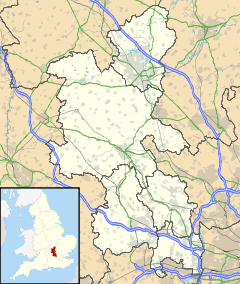
 Bledlow-cum-Saunderton
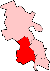
Bledlow-cum-Saunderton shown within BuckinghamshirePopulation 2,249 [1] OS grid reference SP780026 District Wycombe Shire county Buckinghamshire Region South East Country England Sovereign state United Kingdom Post town Princes Risborough Postcode district HP27 Dialling code 01844 Police Thames Valley Fire Buckinghamshire Ambulance South Central EU Parliament South East England UK Parliament Wycombe List of places: UK • England • Buckinghamshire Bledlow-cum-Saunderton is a civil parish in the Wycombe district of Buckinghamshire, England. It contains the villages of Bledlow, Bledlow Ridge and Saunderton and the hamlets of Crownfield, Forty Green, Holly Green, Pitch Green, Rout's Green, Saunderton Lee and Skittle Green. It had a population of 2,249 according to the 2001 census.
References
Categories:- Civil parishes in Buckinghamshire
- Buckinghamshire geography stubs

Wikimedia Foundation. 2010.