- New Jersey Route 347
-
Route 347
Route information Maintained by Cape May and Cumberland Counties Length: 8.58 mi[1] (13.81 km) Existed: 1990 – present Major junctions South end:  Route 47 in Dennis Township
 CR 550 Spur in Maurice River Township
CR 550 in Maurice River TownshipNorth end: Route 47 in Maurice River TownshipHighway system New Jersey State Highway Routes
Interstate and US←  Route 324
Route 413  →
→Route 347 is a state highway in the southern part of New Jersey in the United States. It is a bypass of Route 47 in Dennis Township, Cape May County and Maurice River Township, Cumberland County that is 8.58 mi (13.81 km) long and is completely county maintained. Route 347 passes through dense woodland for most of its route as a two-lane undivided road. The road is a part of a major route linking the Philadelphia area with the Jersey Shore resorts of Cape May County. The route was created in the 1990s to replace Route 47 Alternate. It has been considered that Route 347 may be partially used for a potential future extension of Route 55, with improvements to the road planned.
Contents
Route description
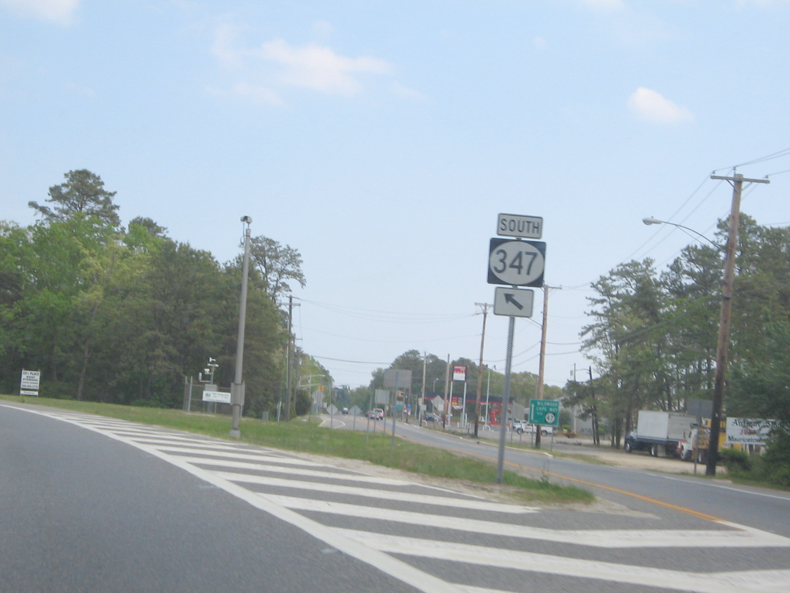
Route 347 begins at an intersection with Route 47 in Dennis Township, Cape May County, heading to the northwest on a two-lane undivided road that is county-maintained.[1] After passing a few residences, the road continues into dense woodland.[2] The route passes by East Creek Pond before entering Maurice River Township in Cumberland County. After the county line, Route 347 intersects CR 550 Spur and forms a concurrency as it runs by West Creek Pond. Past the pond, CR 550 Spur splits from the road, which continues west-northwest.[1] At the junction with CR 679, Route 347 turns to the northwest and comes to a crossroads with CR 550. The road remains on its northwest trajectory as it comes to the eastern terminus of CR 670. At this intersection, the northbound direction of Route 47 turns onto Route 347 from CR 670. Route 347 ends at the point where the ramp to southbound Route 47 splits from the road, which continues north as Route 47.[1][2] Route 347, along with Route 47 and Route 55, constitutes a major route connecting the Philadelphia area to the Jersey Shore resorts of Cape May County, with Route 347 serving as a bypass of a section of Route 47.[3] The route is also part of a hurricane evacuation route for Cape May County in which contraflow lane reversal can be used for a quicker evacuation.[4]
History
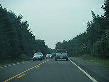
 The beginning of Route 347 heading southbound
What Is now Route 347 was originally an unnumbered local road connecting to Route 47 at both ends.[5] Route 347 was created in the 1990s, replacing what was originally designated as Route 47 Alternate.[6] A third lane is currently being proposed along Route 347 in order to handle additional traffic at peak times in the summer season. Either a reversible lane or extra shoulder space is being considered for the additional lane. Originally, the route was to be widened to four total lanes. Auxiliary lanes are also planned to be built at the southern terminus with Route 47 in Dennis Township and the Route 47/CR 670 junction in Maurice River Township in order to alleviate traffic.[7] The Route 347 corridor, along with a part of Route 47, is being considered for a southern expansion of Route 55 to the Garden State Parkway in Cape May County.[8]
Major intersections
County Location Mile[1] Destinations Notes Cape May Dennis Township 0.00 Route 47 (Delsea Drive)Southern terminus Cumberland Maurice River Township 3.26
CR 550 Spur eastSouth end of CR 550 Spur overlap 3.39
CR 550 Spur west (Hands Mill Road)North end of CR 550 Spur overlap 5.33 CR 550 (Leesburg-Belleplain Road)8.58 Route 47 (Delsea Drive)Northern terminus 1.000 mi = 1.609 km; 1.000 km = 0.621 mi See also
 U.S. Roads portal
 New Jersey portal
References
- ^ a b c d e "Route 347 straight line diagram". New Jersey Department of Transportation. http://www.state.nj.us/transportation/refdata/sldiag/00000347__-.pdf. Retrieved 2007-03-27.
- ^ a b Google, Inc. Google Maps – overview of New Jersey Route 347 (Map). Cartography by Google, Inc. http://maps.google.com/maps?f=d&source=s_d&saddr=route+47+and+route+347+dennis,+nj&daddr=route+47+and+route+347+maurice+river,+nj&hl=en&geocode=&mra=ls&sll=39.66111,-74.78026&sspn=0.881698,2.694397&ie=UTF8&t=h&z=12. Retrieved 2009-12-29.
- ^ "Directions to Cape May, New Jersey". Cape May Times. http://www.capemaytimes.com/travel/directions.htm. Retrieved 2009-12-29.
- ^ "Cape May County Hurricane Evacuation Plan". Cape May County. http://www.capemaycountygov.net/Cit-e-Access/webpage.cfm?TID=5&TPID=802. Retrieved 2008-11-03.
- ^ Cumberland County, New Jersey (1954). Road Map County of Cumberland New Jersey (Map). http://mapmaker.rutgers.edu/CUMBERLAND_COUNTY/CumberlandCo_1954.jpg. Retrieved 2009-08-03.
- ^ Rand McNally (1996). United States-Canada-Mexico Road Atlas (Map).
- ^ "Shore Connection Projects" (PDF). New Jersey Department of Transportation. January 2009. http://www.sjtpo.org/scc-january-09.pdf. Retrieved 2009-12-30.[dead link]
- ^ Jewell, Douglas (October-December 2009). "Election Time means …the Route 55 Extension is back on the table". The Jersey Sierran. Sierra Club. http://newjersey.sierraclub.org/njs_sierran/Sierran_09D_Supplement.pdf. Retrieved 2009-12-30.
External links
Categories:- State highways in New Jersey
- Transportation in Cape May County, New Jersey
- Transportation in Cumberland County, New Jersey


Wikimedia Foundation. 2010.