- Dörtyol
-
Dörtyol — Town — Location of Dörtyol within Turkey.
Country  Turkey
Region Mediterranean Province Hatay Government – Mayor Fadıl Keskin (MHP) Elevation 57 m (187 ft) Population (2004) – Urban 70,856 Time zone EET (UTC+2) – Summer (DST) EEST (UTC+3) Postal code 31 Area code(s) (0)326 Licence plate 31 Dörtyol is a port city and oil terminus at the head of the Gulf of İskenderun, near the easternmost point of the Mediterranean coast. Dörtyol is located 26 km north of the city of Iskenderun in the province of Hatay in southeastern Turkey.
Geography
The name Dörtyol means "crossroads" (literally "four roads") in Turkish, and indeed the town sits on a crossing of highways, especially the O-53 from Anatolia south into Hatay and on to Syria. The road is channelled along the narrow coastal strip with the Nur Mountains (the ancient Amanos) behind. Dörtyol is at the edge of the Çukurova Plain and being near the coast, is humid and the countryside is fairly green and fertile. Therefore as well as oil-handling, the economic activities of the district include forestry, cotton, and the cultivation of citrus fruits, especially a local variety of tangerine.
History
This crossroads has seen the passage of numerous armies and some of the biggest military campaigns in history, including the battle between Alexander the Great and Darius in 333 BC. More recently Dörtyol is remembered in Turkey as the scene of the first fighting in the Turkish War of Independence. The fighting with the occupying forces was ignited in Karakese which is located on the skirt of the Nur mountains village. In 1918 Dörtyol was occupied by French troops supported by Armenian collaborators. Turks in the area retreated to the hills and began their resistance under the leadership of Kara Hasan Pasha. Dörtyol was thus not part of the Republic of Hatay but was a Turkish district added to Hatay when the province was brought into the Turkish republic in 1939.
External links
Coordinates: 36°50′43″N 36°13′22″E / 36.8453°N 36.2228°E
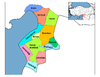
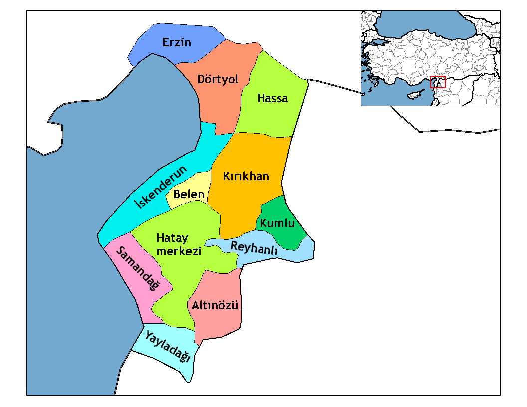
 Dörtyol in Hatay Province (in the Mediterranean region) of Turkey
Urban districts 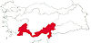
Rural districts RegionsAegean Black Sea Central Anatolia Eastern Anatolia Marmara Mediterranean Southeastern Anatolia Categories:- Districts of Hatay
- Mediterranean Region, Turkey
- Populated places in Hatay Province
- Mediterranean Region, Turkey geography stubs
Wikimedia Foundation. 2010.