- Nazarje
-
Nazarje
Občina Nazarje— Town and Municipality — Vrbovec Mansion Location of the Municipality of Nazarje in Slovenia
 Location of the Town of Nazarje in Slovenia
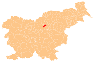
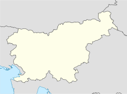
 Nazarje
Coordinates: 46°11′24″N 14°34′12″E / 46.19°N 14.57°ECoordinates: 46°11′24″N 14°34′12″E / 46.19°N 14.57°E Country  Slovenia
Government - Mayor Ivan Purnat Area - Total 43.4 km2 (16.8 sq mi) Population (2002)[1] - Total 2,711 - Density 62.5/km2 (161.8/sq mi) Time zone CET (UTC+01) - Summer (DST) CEST (UTC+02) Nazarje is a town and a municipality in Slovenia. It lies around the confluence of the Savinja and Dreta rivers. Traditionally it belonged to the region of Styria and is now included in the Savinja statistical region.[2]
The settlement gets its name from the monastic church dedicated to Mary of Nazareth. Right next to it is the 17th-century Franciscan monastery. Close by is Vrbovec Castle, originally a 12th-century building with 16th-century adaptations. It was badly damaged by fire in the Second World War. It was restored between 1988 and 1992 by the local forestry association and now houses a forestry and woodworking museum.[3]
References
External links
Nazarje Settlements Administrative centre: Nazarje
Brdo, Dobletina, Čreta pri Kokarjah, Kokarje, Lačja vas, Potok, Prihova, Pusto Polje, Rovt pod Menino, Spodnje Kraše, Šmartno ob Dreti, Volog, Zavodice, ŽlaborLandmarks Vrbovec Castle, Franciscan Monastery, The Church of St. Gervasius and Protasius, Green cave or Abyss of SurpriseCategories:- Populated places in the Municipality of Nazarje
- Municipalities of Slovenia
- Savinjska statistical region geography stubs


Wikimedia Foundation. 2010.