- Doodletown, New York
-
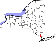
 Map of Doodletown located within Bear Mountain State park.
Doodletown was an isolated hamlet in the Town of Stony Point Rockland County, New York, United States. Purchased by the Palisades Interstate Park Commission during the 1960s, it is now part of Bear Mountain State Park and a popular destination for hikers, birdwatchers, botanists, and local historians. It is located north of Jones Point; west of Iona Island; and southwest of Orange County. The former settlement is now a ghost town.
Members of the first family to settle in Doodletown during the 18th Century, French Huguenots whose name was anglicanized to "June," were also the very last to leave it in the 1960s.
Contents
History
Doodletown was first settled in 1762, at least partly by descendants of French Huguenots. The name is said to derive from the Dutch for "dead valley", or Dood Dal, with the "town" suffix added later by English-speaking settlers. Early residents worked as loggers and miners, and the remains of the mines are still visible today. There were also small farms and businesses.[1]
The settlement was a crossroads for soldiers during the Revolutionary War during battles at Bear Mountain's Fort Montgomery when many hundreds of British soldiers marched through the tiny settlement prior to a bloody and significant battle with colonists. For this reason, it may have been immortalized in the Revolutionary tune "Yankee Doodle", but this is probably apocryphal.[2]
In the 1890s, Thomas Edison bought a defunct iron mine in Doodletown to test his proposed technique for an improved method of refining ore. Nothing came of his project, although several iron mines had been successfully developed and abandoned in the neighborhood at a much earlier date.
Bear Mountain began to be developed as a park in the early 20th century.[3]
By the 1920s, the height of population for Doodletown, the settlement had a school, a church, several small businesses, two cemeteries and approximately 70 homes. At least several families had lived there for generations. Around this era, military and tourism-related enterprises on nearby Iona Island employed residents, as did the Palisades Interstate Park Commission.
Other residences were maintained as second homes or were inhabited by retired people from the New York City area, and Doodletown's population thus reached its historic peak of a some hundreds of residents.
Bear Mountain State Park began to expand around 1920, in part by purchasing property from the landowners in Doodletown, as did the separate but contiguous Harriman State Park, where a story that is analogous but less widely noted than Doodletown, concerns the nearby hamlet of Johnstown, north of Sloatsburg, New York. By the 1950s, most of the Doodletown residents had moved away, many to nearby Stony Point or into southern Orange County. Those who refused to sell lost their land through eminent domain by 1965,[4] and most of the remaining structures were demolished or disassembled and moved out by the late 1960s. Debris was buried, the roads were closed, and the surrounding woods were allowed to grow over the properties. In the early 1970s, a dam was built on the Timp Brook, creating a sizable pond. The last remaining building, the stone school house, was kept as a shelter for hikers until vandalism caused the park commission to tear it down in 1980.[5]
Hiking
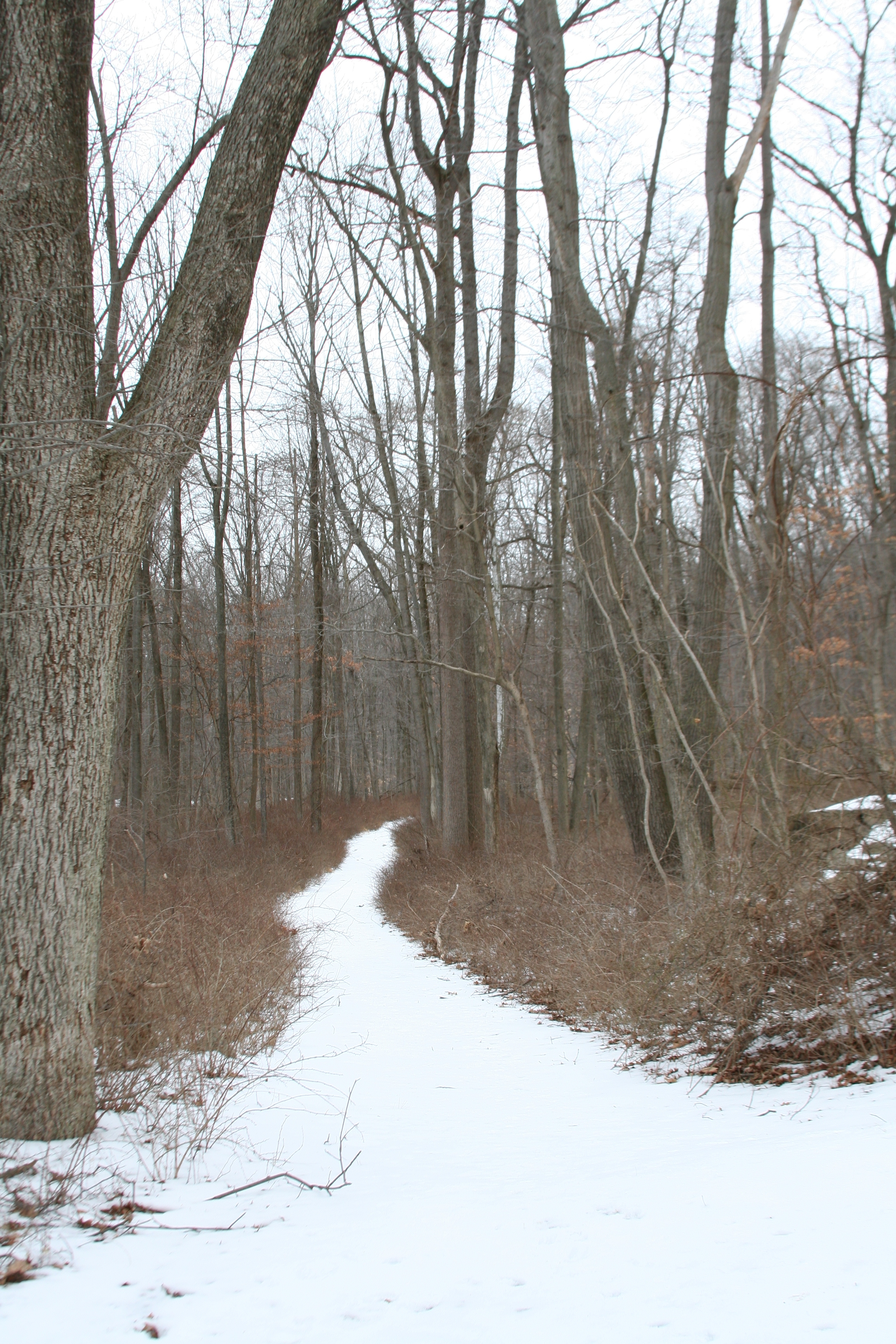
 View of the Bridle Path.
Today, many foundations, walls, and staircases are still visible. The area is accessible by various trails and former roadways. The town's cemeteries contain graves ranging from centuries old to much more recent years, as former residents and their relatives can still choose to be buried there. Steel signage has recently been installed by the park service, listing which families owned each property and often showing photographs of former buildings. Orientation signs are located at intervals throughout the area.
The simplest and most direct access for hikers is from a small parking area on Route 9W near Iona Island. From here one follows the Cornell Mine Trail to the 1777 East Trail, which runs directly into the heart of the area. Doodletown may also be approached from the south end of the parking lot at Bear Mountain Inn via an underpass beneath Seven Lakes Drive. Other approaches include from the Palisades Parkway side, taking the Fawn Trail to the Bridle Path, or from Jones Point and over Dunderberg Mountain, taking the Ramapo-Dunderberg trail to the Cornell Mine trail. One may also enter the area from the Long Mountain Parkway side, which is a more direct route to the 1777 West Trail or the Bridle Path.[3][6]
References
- ^ Arthur G. Adams (1996). The Hudson river guidebook. Fordham University Press. p. 165. http://books.google.com/books?id=KIkHuzvZTGYC&pg=PA165&lpg=PA165&dq=doodletown+%22Bear+Mountain%22&source=bl&ots=ZSXh1dZ5GI&sig=A9hqAwgYZTg4eCnKYXbKCMFXPZ0&hl=en&ei=jI-6SdTrHN-Btwft56TEDQ&sa=X&oi=book_result&resnum=6&ct=result.
- ^ "Today in History: April 19", section about "Yankee Doodle", American Memory, Library of Congress. Last Updated: 03/12/2009
- ^ a b "Hiking Doodletown", NY-NJ-CT Botany Online
- ^ Henry, Derrick (28 September 2008). "A Hike Among the Ruins". New York Times. http://www.nytimes.com/2008/09/28/nyregion/westchester/28rdoodle.html?pagewanted=1&sq=bear%20mountain%20state%20park&st=cse&scp=3. Retrieved 12 September 2010.
- ^ Elizabeth Stalter (1996). Doodletown: Hiking Through History in a Vanished Hamlet on the Hudson. Palisades Interstate Park Commission Press. ISBN 9780965573702. http://books.google.com/books?id=_RLIAAAACAAJ&dq=doodletown.
- ^ "Bald Mountain/Doodletown Loop from Route 9W", New York New Jersey Trail Conference
External links
- NY-NJ Trail Conference entry
- NY-NJ-CT Botany Field Guide entry
- Rockland County Audubon Society entry
- Ghosttowns.com entry
- [http://www.doodletown.us Land Steward entry
Municipalities and communities of Rockland County, New York Towns Clarkstown | Haverstraw | Orangetown | Ramapo | Stony Point
Villages Airmont | Chestnut Ridge | Grand View-on-Hudson | Haverstraw | Hillburn | Kaser | Montebello | New Hempstead | New Square | Nyack | Piermont | Pomona | Sloatsburg | South Nyack | Spring Valley | Suffern | Upper Nyack | Wesley Hills | West Haverstraw
CDPs Bardonia | Blauvelt | Congers | Hillcrest | Monsey | Mount Ivy | Nanuet | New City | Orangeburg | Pearl River | Stony Point | Tappan | Thiells | Valley Cottage | Viola | West Nyack
Other
hamletsCentenary | Central Nyack | Doodletown | Garnerville | Grassy Point | Johnsontown | Jones Point | Ladentown | Middletown | Nauraushaun | Palisades | Rockland Lake | Sandyfield | Sickletown | Sparkill | St. John's in the Wilderness | Sterlington | Tallman | Tomkins Cove
Coordinates: 41°17′58″N 74°00′10″W / 41.29944°N 74.00278°W
Categories:- Landmarks in New York
- Ghost towns in New York
- Bear Mountain State Park
- Ramapos
- Populated places in Rockland County, New York


Wikimedia Foundation. 2010.