- Nuthurst
-
Coordinates: 51°01′21″N 0°18′03″W / 51.02263°N 0.30076°W
Nuthurst 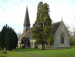
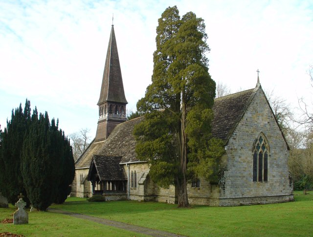
St Andrew's Church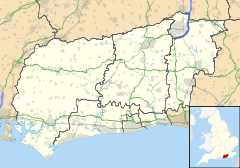
 Nuthurst
Nuthurst shown within West SussexArea 16.97 km2 (6.55 sq mi) [1] Population 1,711 [1] 2001 Census - Density 101 /km2 (260 /sq mi) OS grid reference TQ192261 - London 34 miles (55 km) NNE Parish Nuthurst District Horsham Shire county West Sussex Region South East Country England Sovereign state United Kingdom Post town HORSHAM Postcode district RH13 Dialling code 01403 Police Sussex Fire West Sussex Ambulance South East Coast EU Parliament South East England UK Parliament Horsham List of places: UK • England • West Sussex Nuthurst is a village and civil parish in the Horsham District of West Sussex, England, 2.5 miles (4 km) south Horsham.
The parish has a land area of 1697 hectares (4191 acres). In the 2001 census 1711 people lived in 702 households, of whom 875 were economically active.
Its Church of England parish church is St. Andrews, which has links with the nearby St. Andrews C of E aided school. There is one pub, the Black Horse.
References
- ^ a b "2001 Census: West Sussex – Population by Parish". West Sussex County Council. http://www.westsussex.gov.uk/communityandliving/census2001/pop_parish_summary.pdf. Retrieved 12 April 2009.
External links
Categories:- Horsham
- Villages in West Sussex
- West Sussex geography stubs

Wikimedia Foundation. 2010.