- Sparwood, British Columbia
Infobox City
official_name = Sparwood, British Columbia
other_name =
native_name =
settlement_type = District municipality
nickname =
motto =
imagesize =
image_caption =
flag_size =
image_
seal_size =
image_shield =
shield_size =
image_blank_emblem =
blank_emblem_size =
mapsize =
image_dot_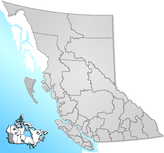
dot_mapsize = 180px
dot_map_caption = Location of Sparwood inBritish Columbia
dot_x = 168 |dot_y = 138
map_caption =
subdivision_type = Country
subdivision_name = flagicon|CanadaCanada
subdivision_type1 = Province
subdivision_name1 =
subdivision_type2 =
subdivision_name2 =
subdivision_type3 =
subdivision_name3 =
subdivision_type4 =
subdivision_name4 =
government_footnotes = [Sparwood. [http://www.sparwood.bc.ca/council/index.htm Mayor and council] ]
government_type =
leader_title = Mayor
leader_name = David Wilks
leader_title1 = Governing body
leader_name1 = Sparwood council
leader_title2 = MP
leader_name2 = Jim Abbott
leader_title3 = MLA
leader_name3 = Bill Bennett
established_title =
established_date =
established_title2 =
established_date2 =
established_title3 =
established_date3 =
area_magnitude =
area_total_km2 =
area_total_sq_mi =
area_land_km2 =
area_land_sq_mi =
area_water_km2 =
area_water_sq_mi =
area_water_percent =
area_urban_km2 =
area_urban_sq_mi =
area_metro_km2 =
area_metro_sq_mi =
population_as_of = 2006
population_note =
settlement_type =
population_total = 3,618
population_density_km2 =
population_density_sq_mi =
population_metro =
population_density_metro_km2 =
population_density_metro_sq_mi =
population_urban =
population_density_urban_km2 =
population_density_urban_mi2 =
timezone = Mountain Standard (MST)
utc_offset = -7
timezone_DST =
utc_offset_DST =
latd=49 |latm=43 |lats=56 |latNS=N
longd=114 |longm=53 |longs=13 |longEW=W
elevation_m =
elevation_ft =
postal_code_type = Postal code span
postal_code =
area_code = 250
website =
footnotes =Sparwood is a
district municipality inBritish Columbia ,Canada . It is the second largest community on the Elk River.Located approximately 30 kilometers from Fernie, the District Municipality of Sparwood has approximately 3618 residents, according to the 2006 census. Sparwood is quite large for its population, taking up an area of 177.71 square kilometers and incorporating the local Coal Mines.
Economy
The local economy is heavily dependent on
coal mining , one of British Columbia's primary industries. A large part of the population either works in the mines or as tradesmen and labourers in related support industries, such as trucking or as mechanics. Logging is another important industry.Sparwood/Elk Valley Airport is the local airport forgeneral aviation ; airlines provide service toCranbrook/Canadian Rockies International Airport .Infrastructure
Sparwood promotes itself extensively as the home of the
Terex Titan , at one time the largest truck in the world. The bright green Titan stands a few yards from theCrowsnest Highway where it can attract the attention oftourist s and travelers.A "Coal Discovery Center" is being built across the highway from the Titan. It will be a museum and information center to promote the district's history with coal mining.
Demographics
Sparwood has a population of approximately 3812 residents, with a population density of approximately 21.5 per square kilometer.The local population is mainly white,
blue-collar families, working in or supporting thecoal industry.A large percentage of the population has completed education to the high school level, but a much smaller percentage has a college/university degree.Education
There are three public schools in Sparwood; Frank J Mitchell and Mountain View Elementary Schools and
Sparwood Secondary School . There is currently a newSparwood Secondary School being built.These schools are operated bySchool District 5 Southeast Kootenay which is based in Cranbrook.References
External links
* [http://www.sparwood.bc.ca/ District of Sparwood] homepage.
Wikimedia Foundation. 2010.