- Ngahere
-
Ngahere 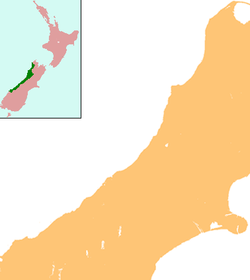
 Ngahere
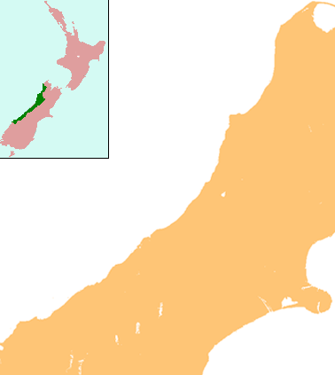
Coordinates: 42°23′57″S 171°26′16″E / 42.39917°S 171.43778°E Country New Zealand Region West Coast District Grey District Population (2006) - Total 345 Ngahere is a locality in the Grey District of the West Coast of New Zealand's South Island.[1] The 2006 New Zealand Census of Population and Dwellings gave the population of Ngahere and its surrounding area as 345, an increase of 9.5% or 30 people since the 2001 census.[2]
Ngahere is located on the south bank of the Grey River, and State Highway 7 and the Stillwater - Westport Line (SWL) railway pass through the village. The railway reached Ngahere when an extension was built from Brunner on 1 August 1889, and it was the line's terminus until a further section to Ahaura was opened on 14 February 1890. On 1 August 1910, Ngahere became a railway junction when the Blackball Branch was opened, and this branch line operated until a flood in 1966 destroyed its bridge across the Grey River. The branch was formally closed on 21 February 1966.[3] The next year, passenger trains through Ngahere on the SWL were cancelled; since this time, freight trains of coal have been the predominant traffic through Ngahere.[4]
References
- ^ "Place Name Detail: Ngahere". New Zealand Geographic Placenames Database. Land Information New Zealand. http://www.linz.govt.nz/placenames/find-names/topographic-names-db/database/index.aspx?p=16827. Retrieved 16 November 2007.
- ^ Quickstats about Nelson Creek-Ngahere
- ^ New Zealand Railway and Tramway Atlas, fourth edition, edited by John Yonge (Essex: Quail Map Company, 1993), 22.
- ^ Geoffrey B. Churchman and Tony Hurst, The Railways of New Zealand: A Journey Through History (Auckland: HarperCollins, 1991), 191, 197.
Coordinates: 42°24′S 171°27′E / 42.4°S 171.45°E
Grey River Source: Southern Alps — Flows into: Tasman SeaAdministrative areas West Coast Region · Grey DistrictTowns and settlements (upstream to downstream) Major tributaries (upstream to downstream by confluence) Blue Grey River · Upper Grey River · Robinson River · Tass River · Clarke River · Little Grey River · Otututu / Rough River · Big River · Ahaura River · Arnold RiverLakes in catchment (upstream to downstream by location or tributary) Longest New Zealand rivers 1: Waikato · 2: Clutha / Mata-Au · 3: Whanganui · 4: Taieri · 5: Rangitikei · 6: Mataura · 7: Waiau (Southland) · 8: Clarence · 9: Waitaki · 10: OretiCategories:- Populated places in New Zealand
- Grey District
- West Coast Region geography stubs
Wikimedia Foundation. 2010.