- Faleolo International Airport
-
Faleolo International Airport 
IATA: APW – ICAO: NSFA Location of airport in Samoa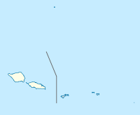
 APW
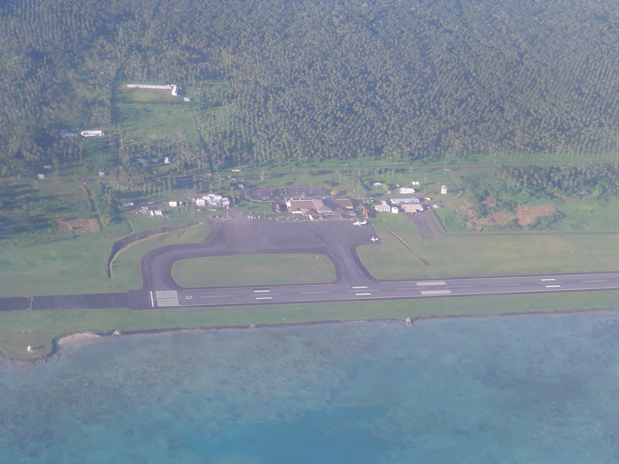
APWSummary Airport type Public Serves Apia, Upolu Island, Samoa Elevation AMSL 58 ft / 18 m Coordinates 13°49′47″S 172°00′30″W / 13.82972°S 172.00833°W Runways Direction Length Surface m ft 08/26 3,000 9,843 Asphalt Source: DAFIF[1][2] Faleolo International Airport (IATA: APW, ICAO: NSFA) is an airport located 40 kilometres (25 mi) west of Apia, the capital of Samoa.
Until 1984, Faleolo could not accommodate jets larger than a Boeing 737. Larger jets, such as the Boeing 747, which are commonly used to service faraway destinations such as the US West Coast, Australia or New Zealand, could only land at nearby Pago Pago International Airport in the village of Tafuna, in American Samoa. Since the airport's expansion, however, most international traffic now serves Faleolo, and Tafuna only has service to Honolulu.[citation needed]
Small propeller jets connect American and independent Samoa.
Contents
History
Faleolo Airfield
The site and location of the current airport was originally known as Faleolo Airfield[3]. It was construct by the United States Navy SeaBees after war broke out in the Pacific in 1942 and became an extension of U.S. Naval Station Tutuila and the Samoa Defense Group Area[4] during the Pacific War. Faleolo Airfield was completed by the Seabees in July 1942[5] and U.S. Marine Fighting Squadron VMF-111 was moved from Tafuna Airfield to Faleolo Airfield[5] after the aircraft runway was completed[3] to protect the islands of Upolu and Savai'i from an anticipated Japanese invasion. The original runway was 4,000 feet (1,219 m) x 200 feet (61 m) and was extended to 6,000 feet (1,829 m) x 350 feet (107 m) in March 1943 to accommodate a taxiway and space for basing of up to 57 fighter aircraft. Airfield support buildings and two hangars were also constructed and completed in March 1943.
Facilities
The airport resides at an elevation of 58 feet (18 m) above mean sea level. It has one runway designated 08/26 with an asphalt surface measuring 3,000 by 45 metres (9,843 × 148 ft).[1] The Pavement Classification Number for the runway is 058FBXT.[1]
Faleolo Tower has some jurisdiction over the airspace of American Samoa and Tonga as well as its own airspace. It is assisted by the tower at Nadi, Fiji and the whole area is under Oceanic Control from Auckland, New Zealand.[citation needed]
Airlines and destinations
Airlines Destinations Air New Zealand Auckland Air Pacific Honolulu,[6] Nadi Inter Island Airways Pago Pago, Tau Polynesian Airlines Maota, Pago Pago Virgin Australia operated by Polynesian Blue Auckland, Brisbane, Sydney Accidents and incidents
- On 13 January 1970, Polynesian Airlines Flight 308B, operated by Douglas C-47B 5W-FAC crashed into the sea shortly after take-off on an international non-scheduled passenger flight to Pago Pago International Airport, American Samoa. All 32 people on board were killed.[7]
- In 2000, Air New Zealand flight NZ60 nearly overshot the runway due to a faulty instrument landing system, which had been accidentally damaged by a digger. The pilots took a number of measures to successfully prevent an accident, which were incorporated into a training video.[8]
References
- ^ a b c Airport information for NSFA from DAFIF (effective October 2006)
- ^ Airport information for APW at Great Circle Mapper. Source: DAFIF (effective Oct. 2006).
- ^ a b "Building the Navy's Bases in World War II". Department of the Navy Bureau of Yards and Docks, pg 213-214. http://www.ibiblio.org/hyperwar/USN/Building_Bases/bases-24.html. Retrieved 18 February 2011.
- ^ "The U.S. Naval History of the Samoan Defense Group". Lt. Commander John Buake, USNA. http://ashpo.org/library/7500058.pdf. Retrieved 23 February 2011.
- ^ a b "History of U.S. Marine Corps Operations in World War II". Hough, Ludwig, Shaw - Chapter 3: The Southern Lifeline, pg 90. http://www.ibiblio.org/hyperwar/USMC/I/USMC-I-II-3.html. Retrieved 18 February 2011.
- ^ "New Samoa-Honolulu flights planned". Pacific Business News. 2009-08-03. http://pacific.bizjournals.com/pacific/stories/2009/08/03/daily11.html. Retrieved 2009-08-03.
- ^ "5W-FAC Accident description". Aviation Safety Network. http://aviation-safety.net/database/record.php?id=19700113-0. Retrieved 11 October 2010.
- ^ "NZ60 Erronious (sic) ILS Incident, Apia". YouTube. 2006-12-22. http://www.youtube.com/watch?v=GelRBhJ4gmI. Retrieved 2009-09-30.
External links
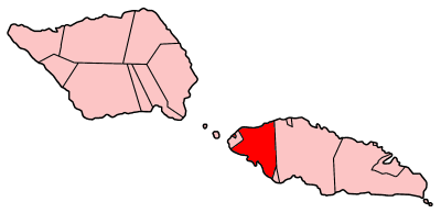
 A'ana District: ItūmālōTraditional center: Leulumoega
Villages · Leulumoega · Faleasiu · Falese'ela · Fasito'o Tai · Fasito'o Uta · Gagaifo o le Vao · Lefaga · Matautu (Lefaga) · Pata · Safa'atoa · Samatau · Satapuala · Savaia ·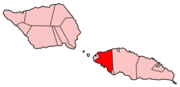
Transport · Faleolo International Airport ·Notable people · Aiono Fanaafi Le Tagaloa · David Tua · Le Mamea Matatumua Ata · Sua Sulu'ape Paulo II · Matatumua Maimoana · To’alepaiali’i Toeolesulusulu Salesa III · Va'aiga Tuigamala · Teo Tuvale ·Environment · Samoan plant names · List of birds of Samoa · List of mammals of Samoa · List of protected areas of Samoa ·Electoral constituencies: Faipule Districts · A'ana Alofi No. 1 (2 seats) · A'ana Alofi No. 2 · A'ana Alofi No. 3 · Falelatai & Samatau · Lefaga & Falese'ela ·Categories:- Airports in Samoa

Wikimedia Foundation. 2010.