- Nedlands, Western Australia
-
This article is about a suburb of Perth, Western Australia. For the local government area, see City of Nedlands.
Nedlands
Perth, Western Australia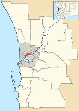
 Nedlands
Population: 10,020 (2006 census)[1] Postcode: 6009 Area: 5.3 km² (2.0 sq mi) Location: 7 km (4 mi) WSW of Perth LGA: City of Nedlands State District: Nedlands Federal Division: Curtin Suburbs around Nedlands: Karrakatta Shenton Park Kings Park Claremont Nedlands Crawley Dalkeith Coordinates: 31°58′55″S 115°48′25″E / 31.982°S 115.807°E
Nedlands is a western suburb of Perth, Western Australia. Its Local Government Area is the City of Nedlands. It is about 7 kilometres (4 mi) from the Perth CBD via either Thomas Street or Mounts Bay Road.
Nedlands is a mixed-character suburb - it contains low-cost housing for students at the neighbouring University of Western Australia; wealthy homes and a golf course in the southern half of the suburb; a commercial area, restaurants and a small cinema along both sides of Stirling Highway; the Lions Eye Institute, a major centre of research into eye disease, and Sir Charles Gairdner Hospital, one of Perth's major public hospitals, and Hollywood Private Hospital (the former Repatriation General Hospital) and its neighbouring aged care facilities. The hospital and Stirling Highway are well served by the CircleRoute and other bus routes.
Contents
Transport
Nedlands is served by the CircleRoute and other services along Stirling Highway, Hampden Road, Broadway and Princess Road. All services are operated by Swan Transit.
Politics
Nedlands is part of the federal division of Curtin. The federal seat is held by the conservative Liberal Party. It is regarded as a safe seat as it has been continually retained by the Liberal Party with the exception of former Liberal member Allan Rocher as an Independent politician between 1996 and 1998. For the parliament of Western Australia, the state electoral district of Nedlands is held by Liberal member Bill Marmion.
Its eastern most booth near the university is marginal at both levels of government, and all parts of the suburb exhibit a strong Green vote.
See also
References
- ^ Australian Bureau of Statistics (25 October 2007). "Nedlands (State Suburb)". 2006 Census QuickStats. http://www.censusdata.abs.gov.au/ABSNavigation/prenav/LocationSearch?collection=Census&period=2006&areacode=SSC52031&producttype=QuickStats&breadcrumb=PL&action=401. Retrieved 2008-10-05.
Further reading
- Williams, A. E. (1984) Nedlands : from campsite to city Nedlands, W.A : City of Nedlands. ISBN 0959089802
External links
Western suburbs of Perth, Western Australia City Beach · Claremont · Cottesloe · Crawley · Daglish · Dalkeith · Floreat · Jolimont · Karrakatta · Mosman Park · Mount Claremont · Nedlands · Peppermint Grove · Shenton Park · Subiaco · Swanbourne · Wembley · Wembley Downs · West Leederville
Categories:- Suburbs of Perth, Western Australia
- Perth, Western Australia geography stubs

Wikimedia Foundation. 2010.