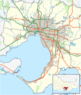
Laverton North Power Station, Victoria (Australia) — Infobox Power Station image size= 250 caption=Laverton North Power Station from the south, Princes Freeway in the foreground station name=Laverton North Power Station location=Laverton, Victoria owner=Snowy Hydro Limited fuel type=Gas… … Wikipedia
Altona North, Victoria — Altona North Melbourne, Victoria … Wikipedia
Williamstown North, Victoria — Williamstown North Melbourne, Victoria … Wikipedia
Laverton, Victoria — Infobox Australian Place | type = suburb name = Laverton city = Melbourne state = vic caption = Aviation Road, main street of Laverton. lga = City of Hobsons Bay lga2 = City of Wyndham area = 6.8 postcode = 3028 pop = 4508 (2006)Census 2006 AUS | … Wikipedia
Laverton — There is more than one place named Laverton:In Australia: *Laverton, Victoria is a suburb of Melbourne, Victoria *Laverton, Western Australia is a shire and town in Western AustraliaIn the United Kingdom *Laverton, Gloucestershire *Laverton,… … Wikipedia
Laverton Creek Trail — NOTOC MelbourneBikePath DESCRIPTION=No image available yet NAME=Laverton Creek Trail LENGTH=4.7km DIFFICULTY=Easy HILLS=None HAZARDS= WATER= PATH=Dirt, gravel, concrete and bitumen BUS= TRAIN=Laverton station TRAM=NoneThe Laverton Creek Trail is… … Wikipedia
Laverton, Western Australia — Infobox Australian Place | type = town name = Laverton state = wa caption = Location of Laverton, Western Australia lga = Shire of Laverton postcode = 3028 est = 1900 pop = 316 (2006 census) [Census 2006 AUS|id=UCL515200|name=Laverton (L) (Urban… … Wikipedia
Victoria (Australia) — Coordinates: 37°0′S 144°0′E / 37°S 144°E / 37; 144 … Wikipedia
Laverton — Cette page d’homonymie répertorie les différents sujets et articles partageant un même nom. Laverton est le nom d un certain nombre de villes et villages: en Australie, Laverton est un village, siège administratif du comté de Laverton en… … Wikipédia en Français
North Road Trail — The North Road Trail is a shared use bicycle and pedestrian path running up the centre of the divided North Road in Clayton, Melbourne. It connects with the Station Trail at Huntingdale Station. At Clayton Road, it moves to the north side of the… … Wikipedia
 Laverton North