- South East Forest National Park
-
South East Forest National Park IUCN Category II (National Park)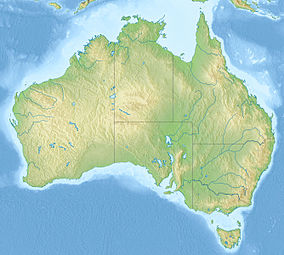

Coordinates 36°59′14″S 149°28′32″E / 36.98722°S 149.47556°ECoordinates: 36°59′14″S 149°28′32″E / 36.98722°S 149.47556°E Area 1151.77 km² Established January 1, 1997 Governing body NSW National Parks and Wildlife Service South East Forest is a national park in New South Wales (Australia), 378 km southwest of Sydney.[1] It features high quality old growth eucalyptus forest and remnant patches of temperate rainforest.
It was created in 1997 by the amalgamation of Genoa, Tantawangalo, Bemboka, Yowaka and Coolangubra National Parks, all of which had been gazetted in 1994. Genoa National Park in turn was the result of the amalgamation of Nalbaugh and Nungatta National Parks, which had been established in 1972 and 1973 respectively.[2]
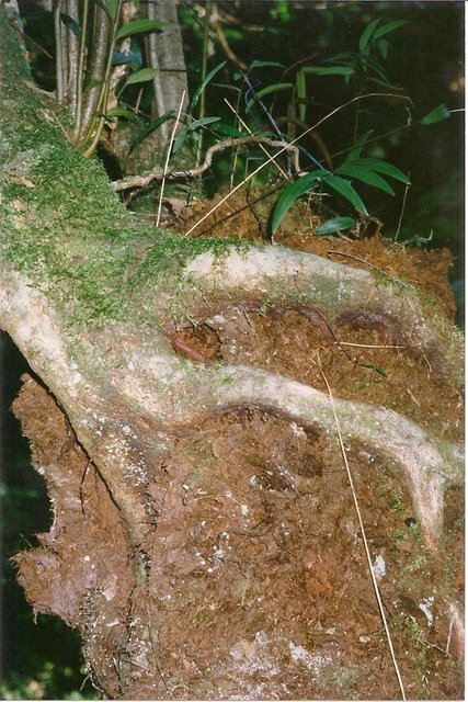
 Black Olive Berry on a Soft Tree Fern at Devil's Creek, South East Forest NP.
Until 1968, much of the inland southeastern corner of New South Wales was rugged forest terrain known as the Wallagaraugh Wilderness, and was vacant crown land. At the time, a scientific committee appointed by the New South Wales state government recommended the area of around 100,000 hectares be protected as a National Park, however the Japanese company Harris-Daishowa sought to log the area for woodchips, and most of the land was categorised as State Forest, with only Nalbaugh and Nungatta National Parks declared in what is now South East Forest National Park. Nearby, Mount Imlay and Ben Boyd National Park were gazetted.[3] Logging began in October 1969,[4] and continued for 25 years despite increasing opposition.[3] The Unsworth Labor State government had proposed an 80,000 hectare park as a reelection promise in the 1988 state election, but was not reelected. Later, under the Fahey government,[3] the Genoa, Tantawangalo, Bemboka Yowaka and Coolangubra national parks came into existence in 1994.[2]
The region is known for its variety of eucalypt species,[3] and wet sclerophyll (eucalypt) forests cover 42% of the park.[5] Temperate rainforest is found in sheltered areas, and subalpine bogs at high elevations.[5]
A great variety of animals are found within the park boundaries, including threatened species such as the Smoky Mouse (Pseudomys fumeus), and other species which are vulnerable in New South Wales such as the Olive Whistler (Pachycephala olivacea).[6]
References
- ^ http://www.environment.nsw.gov.au/NationalParks/parkHome.aspx?id=N0111
- ^ a b "South East Forest National Park: Culture and History". Office of Environment & Heritage website. NSW Government. http://www.environment.nsw.gov.au/NationalParks/parkHeritage.aspx?id=N0111. Retrieved 13 May 2011.
- ^ a b c d Wright, p. 235.
- ^ Moore, Clover (3 September 1992). "SOUTH EAST FORESTS PROTECTION BILL". Parliament of New South Wales: Hansard and Papers. Sydney, New South Wales: State Government of New South Wales. http://www.parliament.nsw.gov.au/prod/parlment/hansart.nsf/V3Key/LA19920903003. Retrieved 15 May 2011.
- ^ a b "South East Forest National Park: Native vegetation". Office of Environment & Heritage website. NSW Government. http://www.environment.nsw.gov.au/NationalParks/parkVegetation.aspx?id=N0111. Retrieved 15 May 2011.
- ^ "South East Forest National Park: Native animals". Office of Environment & Heritage website. NSW Government. http://www.environment.nsw.gov.au/NationalParks/parkWildlife.aspx?id=N0111. Retrieved 13 May 2011.
Cited text
- Wright, Peter (1996). National Parks of Southern NSW. Rosebery, NSW: Bridge Printery. ISBN 0-958759-01-4.
See also
- Protected areas of New South Wales (Australia)
Categories:- IUCN Category II
- National parks of New South Wales
- South Coast, New South Wales
- Protected areas established in 1997
- 1997 establishments in Australia

Wikimedia Foundation. 2010.