- Deer Isle, Maine
-
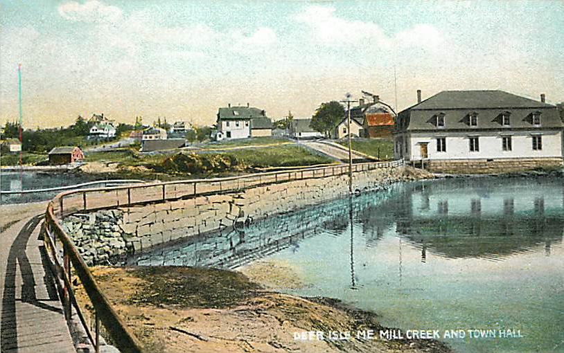
Deer Isle, Maine — Town — Mill Creek and Town Hall in 1907 Location within the state of Maine
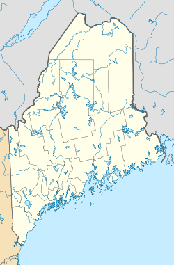
 Deer Isle, Maine
Coordinates: 44°13′29″N 68°40′37″W / 44.22472°N 68.67694°W Country United States State Maine County Hancock Incorporated 1789 Area – Total 123.7 sq mi (320.4 km2) – Land 29.7 sq mi (76.9 km2) – Water 94.0 sq mi (243.5 km2) Elevation 0 ft (0 m) Population (2000) – Total 1,876 – Density 63.2/sq mi (24.4/km2) Time zone Eastern (EST) (UTC-5) – Summer (DST) EDT (UTC-4) ZIP code 04627 Area code(s) 207 FIPS code 23-17145 GNIS feature ID 0582437 Deer Isle is a town in Hancock County, Maine, United States. The population was 1,876 at the 2000 census. Notable landmarks in Deer Isle are the Haystack Mountain School of Crafts and the town's many art galleries.
Contents
History
The town was incorporated in 1789, at which time it included the islands of Little Deer Isle, Deer Isle, and Isle au Haut.[1] In 1868 Isle au Haut became a separate town. In 1897 the southern third of Deer Isle incorporated as the town of Stonington.[2]
In the 19th century, the granite industry flourished on Deer Isle where its quarries supplied granite for structures such as the Boston Museum of Fine Arts, the Smithsonian Institution, the US Naval Academy, the Manhattan Bridge, and at President John F. Kennedy's tomb at Arlington National Cemetery.[3]
In John Steinbeck's Travels with Charley, Deer Isle was a stopping point for the author after the insistence of his literary agent that he visit the cottage of Eleanor Brace, at Dunham's Point. Steinbeck wrote, "One doesn't have to be sensitive to feel the strangeness of Deer Isle.".[4]
It was Deer Isle that musician Dan Fogelberg and his wife Jean chose for their final home, and where he died in 2007. This isle was the home town of the dock that was the inspiration for the painter Fairfield Porter. Many small private islands can be found in the waters surrounding Deer Isle.
Geography
The town of Deer Isle is one of two communities on the island of Deer Isle. The other is Stonington, Maine. According to the United States Census Bureau, the town has a total area of 123.7 square miles (320 km2). 29.7 square miles (77 km2) of the town is land and 94.0 square miles (243 km2) of it is water.
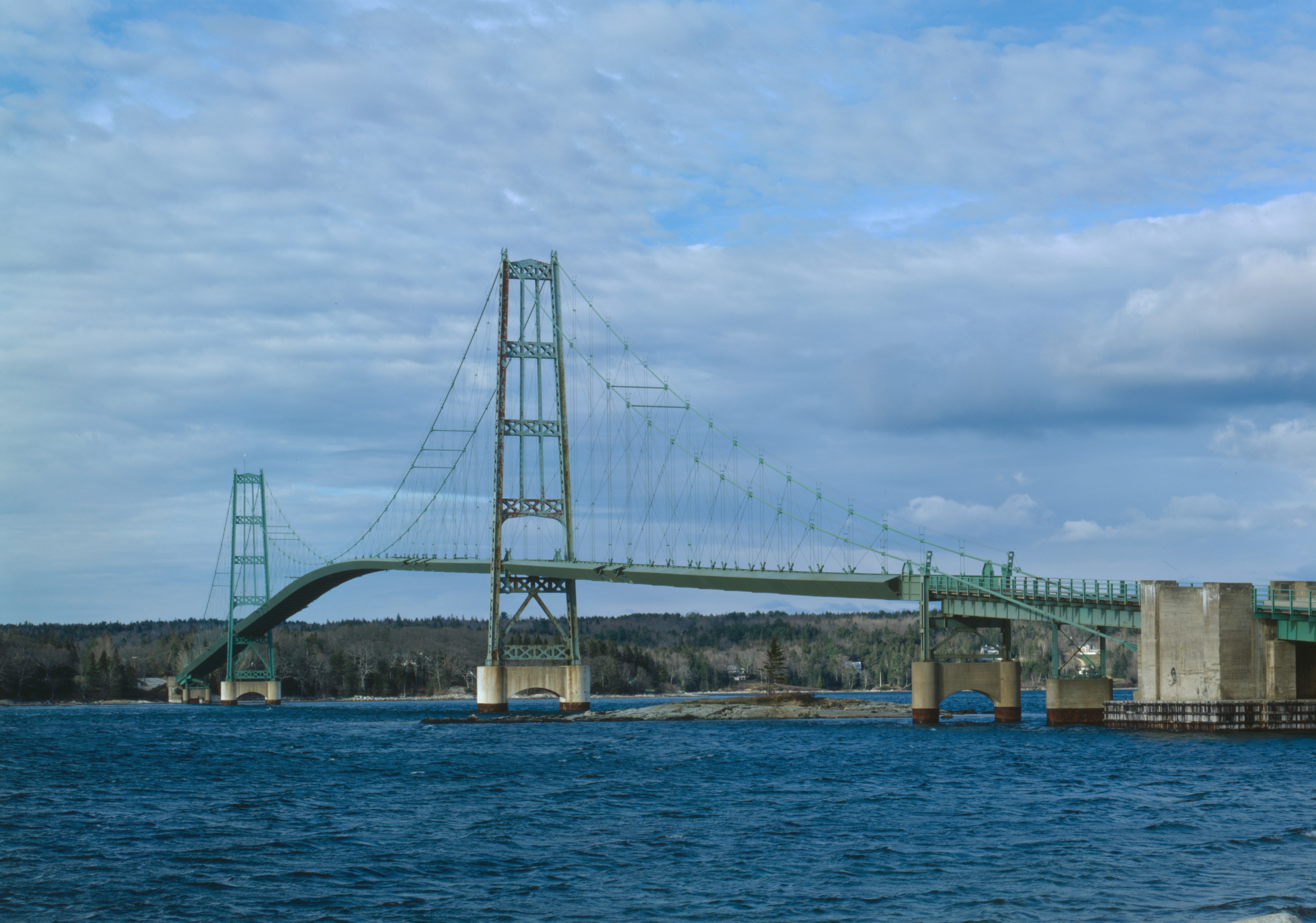
Deer Isle is separated from the mainland by Eggemoggin Reach and may be reached by car via a narrow 1939 suspension bridge bearing the island's name.
Demographics
As of the census[5] of 2000, there were 1,876 people, 781 households, and 523 families residing in the town. The population density was 63.2 people per square mile (24.4/km²). There were 1,575 housing units at an average density of 53.0 per square mile (20.5/km²), and the racial makeup of the town was 98.61% White; 0.16% African American; 0.11% Native American; 0.21% Asian; and 0.91% from two or more races. Hispanic or Latino of any race were 0.37% of the population.
There were 781 households of which 29.1% had children under the age of 18 living with them, 57.0% were married couples living together, 5.6% had a female householder with no husband present, and 33.0% were non-families. 28.2% of all households were made up of individuals and 14.6% had someone living alone who was 65 years of age or older. The average household size was 2.32 and the average family size was 2.82.
In the town the population was spread out with 22.5% of the population under the age of 18, 4.9% from 18 to 24, 23.6% from 25 to 44, 26.5% from 45 to 64, and 22.5% who were 65 years of age or older. The median age was 44 years. For every 100 females there were 94.8 males. For every 100 females age 18 and over, there were 88.5 males.
The median income for a household in the town was $32,826, and the median income for a family was $40,714. Males had a median income of $27,008 versus $19,052 for females. The per capita income for the town was $16,875. About 5.9% of families and 8.8% of the population were below the poverty line, including 5.8% of those under age 18 and 11.8% of those age 65 or over.
Cultural references
- Deer Isle is mentioned in Part II, Chapter 8, of Don DeLillo's 1977 novel entitled Players.
- Deer Isle also was used in Ken Burns' documentary "The Civil War" as a metaphorical microcosm of a typical Union township during the war. Its Confederate counterpart was the town of Clarksville, Tennessee. Throughout the series, the two towns are used to show both the similarities and the differences of everyday life during the years of civil war. The series mentions that fishing decreased during the war as men went off to fight in the war, while women saved lint and other strategic materials, and that relatives were afraid to go to the local post office where casualty lists were posted.
Notable people
- Gerald Warner Brace (1901–1978), writer, professor, sailor and boat builder
- Dan Fogelberg (August 13, 1951 - December 16, 2007) singer and songwriter, composer, multi-instrumentalist
- Buckminster Fuller (July 12, 1895 – July 1, 1983), architect and inventor[citation needed]
- Robert McCloskey (September 15, 1914 – June 30, 2003), author and illustrator of children's books
- Frederick Law Olmsted (1822–1903) early urban planner and landscape architect
- Cynthia Voigt (1942–), young adults book author[citation needed]
References
- ^ Coolidge, Austin J.; John B. Mansfield (1859). A History and Description of New England. Boston, Massachusetts. pp. 103–104. http://books.google.com/books?id=OcoMAAAAYAAJ&lpg=PA9&dq=coolidge%20mansfield%20history%20description%20new%20england%201859&pg=PA103#v=onepage&q&f=false.
- ^ Maine League of Historical Societies and Museums (1970). Doris A. Isaacson. ed. Maine: A Guide 'Down East'. Rockland, Me: Courier-Gazette, Inc.. pp. 347–349.
- ^ Varney, George J. (1886), Gazetteer of the state of Maine. Deer Isle, Boston: Russell, http://history.rays-place.com/me/deer-isle-me.htm
- ^ John Steinbeck, Travels with Charley: In Search of America, Part Two, 1962
- ^ "American FactFinder". United States Census Bureau. http://factfinder.census.gov. Retrieved 2008-01-31.
External links
- Town of Deer Isle, Maine
- Chase Emerson Memorial Library
- Deer Isle - Stonington Chamber of Commerce
- Maine's Hidden Treasure, a photo-essay by Thomas R. & Deborah A. Fletcher
- The Island Ad-Vantages, A local newspaper.
- Island Heritage Trust, A local land trust.
- Aerial photograph of Deer Isle, ca. 1935, from the Maine Memory Network
Municipalities and communities of Hancock County, Maine City 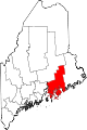
Towns Amherst | Aurora | Bar Harbor | Blue Hill | Brooklin | Brooksville | Bucksport | Castine | Cranberry Isles | Dedham | Deer Isle | Eastbrook | Franklin | Frenchboro | Gouldsboro | Great Pond | Hancock | Lamoine | Mariaville | Mount Desert | Orland | Osborn | Otis | Penobscot | Sedgwick | Sorrento | Southwest Harbor | Stonington | Sullivan | Surry | Swan's Island | Tremont | Trenton | Verona Island | Waltham | Winter Harbor
Unorganized
territoriesCDPs Other
villagesCategories:- Towns in Hancock County, Maine


Wikimedia Foundation. 2010.