- Durningen
-
Durningen

 DurningenLocation within Alsace region
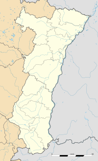 Durningen
Administration Country France Region Alsace Department Bas-Rhin Arrondissement Strasbourg-Campagne Canton Truchtersheim Intercommunality Kochersberg Mayor Gabrielle Fiacre
(2001–2008)Statistics Elevation 179–274 m (587–899 ft) Land area1 4.02 km2 (1.55 sq mi) Population2 609 (2006) - Density 151 /km2 (390 /sq mi) INSEE/Postal code 67109/ 67270 1 French Land Register data, which excludes lakes, ponds, glaciers > 1 km² (0.386 sq mi or 247 acres) and river estuaries. 2 Population without double counting: residents of multiple communes (e.g., students and military personnel) only counted once. Coordinates: 48°41′02″N 7°34′05″E / 48.68388889°N 7.56805556°E
Durningen is a commune in the Bas-Rhin department in Alsace in north-eastern France.
It is the highest commune of the natural region of the Kochersberg.
Its name was first quoted in 724 as Deorangus. than as Teuringas (742), Thurinca (787), Thuringen (1276) and endly Turningen and Durningen (1371).
In the Middle Ages, Durningen belonged to the domain of Hanau-Lichtenberg and to the bishopric of Strasbourg.
See also
References
External links
Categories:- Communes of Bas-Rhin
- Bas-Rhin geography stubs


Wikimedia Foundation. 2010.