- Cremorne Point, New South Wales
-
Cremorne Point
Sydney, New South Wales
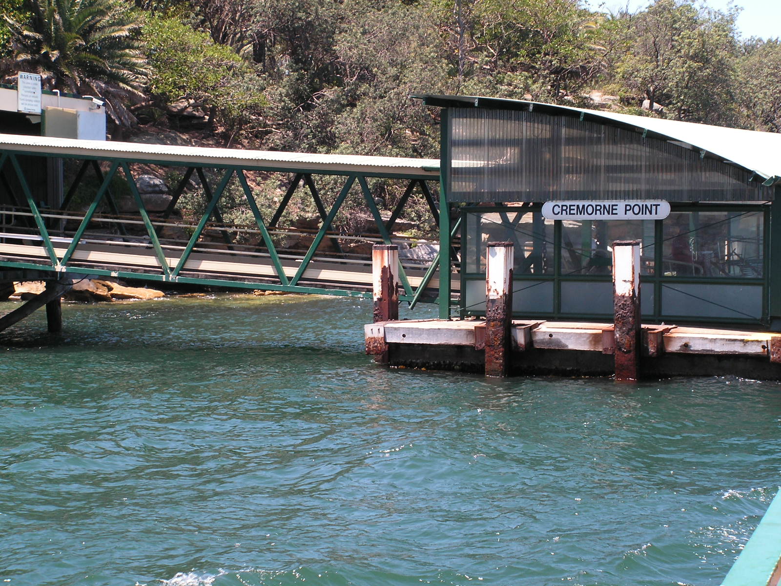
Cremorne Point Wharf prior to collapsePopulation: 1,820 Postcode: 2090 Location: 6 km (4 mi) north of Sydney CBD LGA: North Sydney Council State District: North Shore, Federal Division: Warringah Suburbs around Cremorne Point: Neutral Bay Cremorne Mosman Neutral Bay Cremorne Point Mosman Mosman Cremorne Point is a harbourside suburb on the lower North Shore of Sydney, New South Wales, Australia. Cremorne is located 6 kilometres north of the Sydney central business district, in the local government areas of North Sydney Council.
Cremorne Point shares the postcode of 2090 with Cremorne, a separate suburb to the north. Cremorne Point sits on Sydney Harbour between Shell Cove and Mosman Bay. Cremorne Junction is a locality within the suburb of Cremorne.
Contents
Etymology and history
Cremorne was named after the Cremorne Gardens, a popular pleasure ground in London, England. [1] Robertsons Point was named after James Robertson who was granted 35 hectares there in 1820. He was the father of Premier Sir John Robertson.
James Milson Jnr (1814-1903), son of James Milson (1785-1872) who had owned much land in nearby Milsons Point, was a merchant and a pastoralist in NSW and Queensland. In time he greatly expanded the family's land holdings in the lower North Shore, including the 1853 purchase of the Cremorne peninsula. The sale of this land for residential blocks in the last years of the 19th and early years of the 20th centuries proved to be especially profitable. Much to Milson's disgust, the courts prevented him from selling building blocks running right to the water's edge and Cremorne is consequently one of the few Sydney Harbour peninsulas with a public, waterfront park running around its edges. The last of the family's holdings in the lower North Shore area were resumed in the early 1920s for the construction of the Harbour Bridge and associated roadways. [2]
Transport
Cremorne Point has a ferry wharf located on the peninsula's south-west. It was partially sunk in storms on 9 June 2007[3] and operational again on 15 September 2007. [4]
References
- ^ The Book of Sydney Suburbs, Frances Pollon, Angus & Robertson Publishers, 1990, Published in Australia ISBN 0-207-14495-8, page 72
- ^ The Book of Sydney Suburbs, Compiled by Frances Pollon, Angus & Robertson Publishers, 1990, Published in Australia ISBN 0-207-14495-8, page 174
- ^ "Cremorne wharf collapses". The Sydney Morning Herald. 10 June 2007. http://www.smh.com.au/news/national/cremorne-wharf-collapses/2007/06/09/1181089386460.html.
- ^ "Cremorne Point Wharf reopens Saturday 15 September 2007". http://www.sydneyferries.info/news/33/42.htm.
External links
- Cremorne Point, New South Wales is at coordinates 33°50′27″S 151°13′40″E / 33.84076°S 151.22789°ECoordinates: 33°50′27″S 151°13′40″E / 33.84076°S 151.22789°E
Suburbs of the North Sydney Local Government Area · North Shore · Sydney Cammeray · Cremorne · Cremorne Point · Crows Nest · Kirribilli · Kurraba Point · Lavender Bay · McMahons Point · Milsons Point · Neutral Bay · North Sydney · St Leonards · Waverton · WollstonecraftCategories:- Suburbs of Sydney
- Sydney geography stubs
Wikimedia Foundation. 2010.