- Chilton, Oxfordshire
-
Coordinates: 51°34′05″N 1°15′54″W / 51.568°N 1.265°W
Chilton 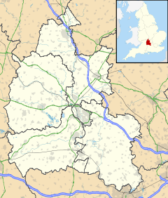
 Chilton
Chilton shown within OxfordshirePopulation 838 (2001 census)[1] OS grid reference SU4885 Parish Chilton District Vale of White Horse Shire county Oxfordshire Region South East Country England Sovereign state United Kingdom Post town Didcot Postcode district OX11 Dialling code 01235 Police Thames Valley Fire Oxfordshire Ambulance South Central EU Parliament South East England UK Parliament Wantage List of places: UK • England • Oxfordshire Chilton is a village and civil parish in the Vale of White Horse about 3.5 miles (5.6 km) southwest of Didcot. The parish was part of Berkshire until the 1974 local government boundary changes transferred the Vale of White Horse to Oxfordshire.
The village is just off the A34 road.
Contents
History
A section of the Grim's Ditch forms part of the southern boundary of the parish. The prehistoric Ridgeway National Trail passes to the south of the village.
The Domesday Book of 1086 lists the parish.
In 1644 the village was the site of a minor incident following the Second Battle of Newbury in which Parliamentarians narrowly escaped being attacked by Royalists.
The Church of England parish church of All Saints dates from the 12th century. Since 1976 the ecclesiatical parish has been united with Harwell.
The southern part of the Harwell Science and Innovation Campus, including the Rutherford Appleton Laboratory, lies within the parish.
References
- ^ "Area: Chilton CP (Parish): Parish Headcounts". Neighbourhood Statistics. Office for National Statistics. http://www.neighbourhood.statistics.gov.uk/dissemination/LeadTableView.do?a=7&b=798720&c=Chilton&d=16&e=15&g=481340&i=1001x1003x1004&m=0&r=1&s=1269296927546&enc=1&dsFamilyId=779. Retrieved 16 March 2010.
Further reading
- Page, W.H.; Ditchfield, P.H., eds (1924). A History of the County of Berkshire, Volume 4. Victoria County History. pp. 11–15. http://british-history.ac.uk/report.aspx?compid=62672.
- Pevsner, Nikolaus (1966). Berkshire. The Buildings of England. Harmondsworth: Penguin Books. p. 115.
External links
- The Parish of St Matthew's Harwell with All Saints' Chilton: All Saints' Chilton
- Chilton Primary School
- Directory of websites including content about Chilton
Categories:- Villages in Oxfordshire
- Civil parishes in Oxfordshire


Wikimedia Foundation. 2010.