- Mountain's Edge, Nevada
-
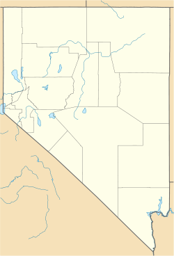
Mountain's Edge, Nevada — Master planned community — View from the southwestern part of Mountain's Edge, with the Strip visible in the distance Location within the state of Nevada Coordinates: 36°01′30″N 115°14′33″W / 36.025°N 115.2425°WCoordinates: 36°01′30″N 115°14′33″W / 36.025°N 115.2425°W Country United States State Nevada County Clark Time zone PST (UTC-8) - Summer (DST) PDT (UTC-7) ZIP codes Area code(s) 702 FIPS code GNIS feature ID Website Official website Mountain's Edge is a master planned community in the unincorporated town of Enterprise in Clark County, Nevada.[1]
Contents
History
Focus Property Group started the construction of Mountain's Edge in February, 2004. The development plans included 14,500 homes and more than 22 neighborhoods with stores, office space, and shopping centers.[2] By 2008, 7,000 homes had been built but during that year, a downturn in the housing market was cited for delays in further developing the site.[3]
A number of community parks were initially planned: Exploration Park, Mountain's Edge Regional Park, Paiute Park, Helen Stewart Park, John C. Fremont Park, and the Nathaniel Jones Park. By 2009, only the 85-acre Exploration Park had been developed. In 2009, the development company proposed downgrades for the other parks due to lack of funds.[4]
The original plan called four elementary schools, two middle schools and a high school all to be part of the Clark County School District.
Schools
- Wright Elementary School
- Carolyn S. Reedom Elementary School
References
- ^ Wargo, Buck (May 15, 2009). "Saving the master plan". Las Vegas Sun. http://www.lasvegassun.com/news/2009/may/15/master-planned-trouble/.
- ^ "Focus Property Group's Mountain's Edge Ranked No.1". Red orbit. 1 May 2009. http://www.redorbit.com/news/business/1680987/focus_property_groups_mountains_edge_ranked_no1_in_the_country/index.html. Retrieved 1 May 2009.
- ^ WYLAND, SCOTT (November 17, 2008). "Promised land still unfulfilled". Las Vegas Review-Journal. http://www.lvrj.com/news/34571644.html.
- ^ Danielle Nadler, "Mountain's Edge behind in promised recreation areas ", Southwest View, 19 May 2009
External links
- http://mountainsedge.com/
- http://www.mymountainsedge.com/outside_home.asp
- http://www.mountainsedge.com/splash%20index.html
Municipalities and communities of Clark County, Nevada Cities CDPs Blue Diamond | Bunkerville | Cal-Nev-Ari | Enterprise | Goodsprings | Indian Springs | Laughlin | Moapa Town | Moapa Valley | Mount Charleston | Paradise | Sandy Valley | Searchlight | Spring Valley | Summerlin South | Sunrise Manor | Whitney | Winchester
Unincorporated
communitiesArden | Cactus Springs | Cottonwood Cove | Coyote Springs | Crystal | Glendale | Jean | Logandale | Mountain's Edge | Mountain Springs | Nelson | Overton | Primm | Riverside | Sloan | Stewarts Point
Indian reservations Ghost town Categories:- Enterprise, Nevada
- Populated places in Clark County, Nevada
- Populated places established in 2004
- Planned communities in Clark County, Nevada
Wikimedia Foundation. 2010.


