- National Register of Historic Places listings in Amherst County, Virginia
-
This list includes properties and districts listed on the National Register of Historic Places in Amherst County, Virginia. Click the "Map of all coordinates" link to the right to view a Google map of all properties and districts with latitude and longitude coordinates in the table below.[1]
-
- This National Park Service list is complete through NPS recent listings posted November 10, 2011.[2]
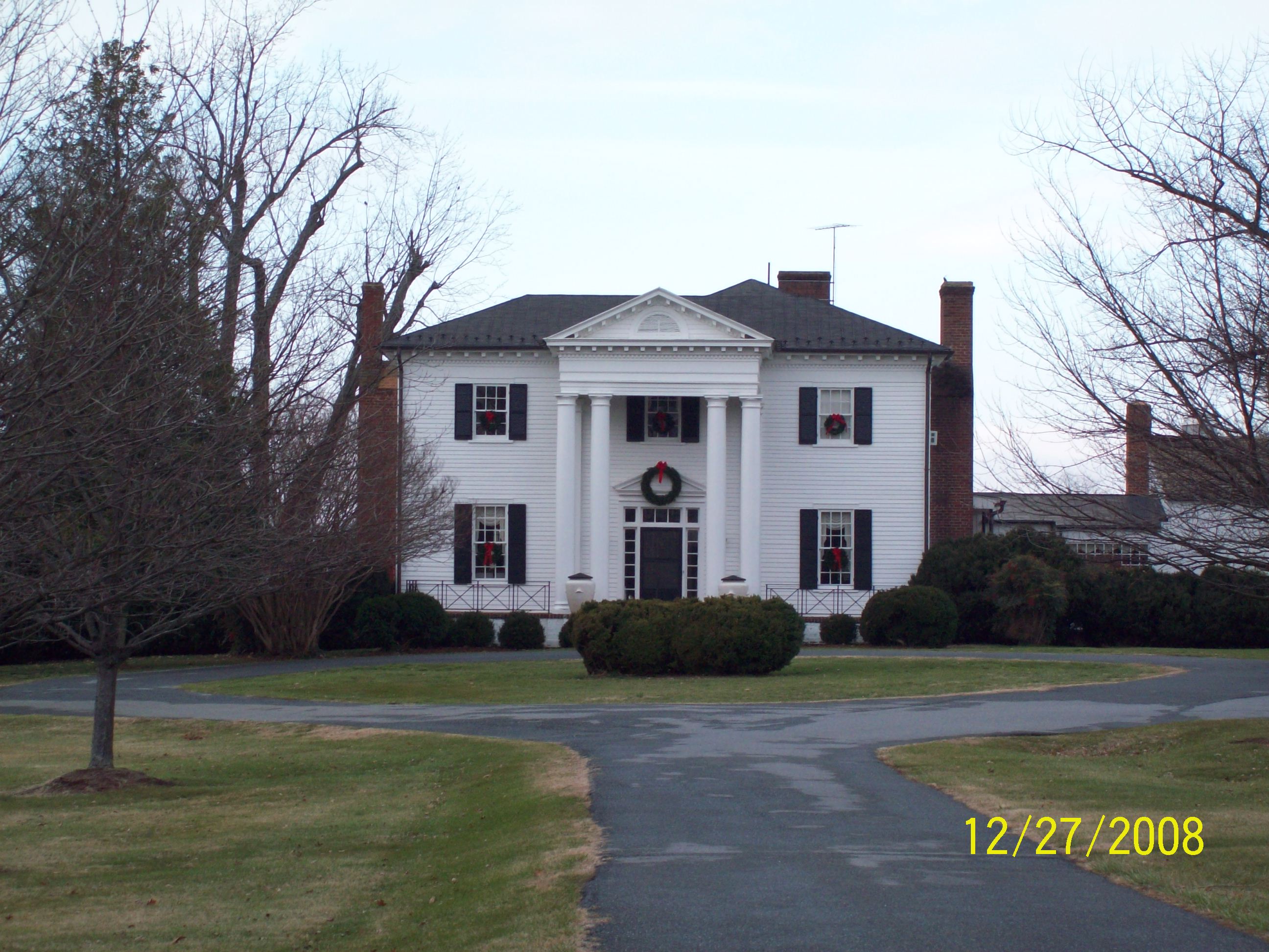
[3] Landmark name [4] Image Date listed Location City or town Summary 1 Bear Mountain Indian Mission School February 21, 1997 Junction of VA 643 and VA 780, southwest corner
37°34′22″N 79°07′38″W / 37.572778°N 79.127222°WAmherst 2 Brick House 
February 1, 2006 854 Fletcher's Level Rd.
37°38′44″N 79°01′17″W / 37.645556°N 79.021389°WClifford 3 Edge Hill May 15, 2008 1380 Edgehill Plantation Rd.
37°30′42″N 78°54′30″W / 37.511619°N 78.908219°WGladstone vicinity 4 Edgewood, 1858 March 14, 2008 591 Puppy Creek Rd.
37°39′20″N 79°08′59″W / 37.655508°N 79.149664°WAmherst 5 Edgewood, 1818 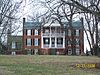
August 16, 2006 138 Garland Ave.
37°35′01″N 79°03′20″W / 37.583611°N 79.055556°WAmherst 6 Fairview June 3, 2009 2416 Lowesville Rd.
37°42′13″N 79°04′09″W / 37.703664°N 79.069303°WAmherst 7 Forest Hill March 22, 2007 713 Indian Creek Rd.
37°42′27″N 79°05′06″W / 37.707383°N 79.085108°WAmherst 8 Fort Riverview (44AH91 and 44AH195) November 16, 1989 Address Restricted Madison Heights 9 Galt's Mill Complex September 30, 2009 1133 Galt's Mill Rd.
37°26′35″N 79°05′11″W / 37.443136°N 79.086444°WMadison Heights 10 Geddes February 24, 1983 SR 700
37°39′57″N 78°59′15″W / 37.665833°N 78.9875°WClifford 11 The Glebe May 15, 2008 156 Patrick Henry Hwy.
37°37′20″N 79°00′54″W / 37.622222°N 79.015°WAmherst 12 Hanshill September 29, 2011 142 Leftwich Rd.
37°28′26″N 79°09′06″W / 37.473889°N 79.151667°WMadison Heights vicinity 13 Hite Store June 6, 1997 0.25 miles south of junction of VA 778 and VA 666
37°43′06″N 79°04′02″W / 37.718333°N 79.067222°WLowesville 14 Mountain View Farm September 3, 1997 Junction of County Route 3 and US 29
37°38′32″N 78°59′10″W / 37.642222°N 78.986111°WClifford 15 Norfolk Southern Six Mile Bridge No. 58 October 12, 1995 Over the James River west of the junction of VA 726 and Norfolk & Western Railroad tracks
37°23′35″N 79°03′42″W / 37.393056°N 79.061667°WLynchburg 16 Oak Lawn September 6, 2006 155 Winridge Dr.
37°29′03″N 79°08′59″W / 37.484167°N 79.149722°WMadison Heights 17 Red Hill Farm June 9, 1980 West of Pedlar Mills on VA 647
37°33′30″N 79°15′59″W / 37.558333°N 79.266389°WPedlar Mills 18 Speed the Plough April 30, 2007 389 Fair Lea Ln.
37°31′59″N 79°11′27″W / 37.533019°N 79.190914°WMonroe 19 Sweet Briar College Historic District March 30, 1995 Sweet Briar Dr., .5 miles west of US 29
37°33′14″N 79°04′48″W / 37.553889°N 79.08°WAmherst 20 Sweet Briar House September 15, 1970 Southwest of the junction of US 29 and VA 624
37°33′26″N 79°04′59″W / 37.557222°N 79.083056°WSweet Briar 21 Tusculum November 19, 2004 2077 N. Amherst Hwy. (US 29)
37°38′10″N 78°59′51″W / 37.636111°N 78.9975°WAmherst 22 Winton 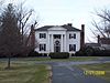
May 2, 1974 West of VA 151
37°38′24″N 79°01′40″W / 37.64°N 79.027778°WClifford See also
- National Register of Historic Places listings in Virginia
- List of National Historic Landmarks in Virginia
References
- ^ The latitude and longitude information provided in this table was derived originally from the National Register Information System, which has been found to be fairly accurate for about 99% of listings. For about 1% of NRIS original coordinates, experience has shown that one or both coordinates are typos or otherwise extremely far off; some corrections may have been made. A more subtle problem causes many locations to be off by up to 150 yards, depending on location in the country: most NRIS coordinates were derived from tracing out latitude and longitudes off of USGS topographical quadrant maps created under the North American Datum of 1927, which differs from the current, highly accurate WGS84 GPS system used by Google maps. Chicago is about right, but NRIS longitudes in Washington are higher by about 4.5 seconds, and are lower by about 2.0 seconds in Maine. Latitudes differ by about 1.0 second in Florida. Some locations in this table may have been corrected to current GPS standards.
- ^ "National Register of Historic Places: Weekly List Actions". National Park Service, United States Department of the Interior. Retrieved on November 10, 2011.
- ^ Numbers represent an ordering by significant words. Various colorings, defined here, differentiate National Historic Landmark sites and National Register of Historic Places Districts from other NRHP buildings, structures, sites or objects.
- ^ "National Register Information System". National Register of Historic Places. National Park Service. . http://nrhp.focus.nps.gov/natreg/docs/All_Data.html.
U.S. National Register of Historic Places Topics Lists by states Alabama • Alaska • Arizona • Arkansas • California • Colorado • Connecticut • Delaware • Florida • Georgia • Hawaii • Idaho • Illinois • Indiana • Iowa • Kansas • Kentucky • Louisiana • Maine • Maryland • Massachusetts • Michigan • Minnesota • Mississippi • Missouri • Montana • Nebraska • Nevada • New Hampshire • New Jersey • New Mexico • New York • North Carolina • North Dakota • Ohio • Oklahoma • Oregon • Pennsylvania • Rhode Island • South Carolina • South Dakota • Tennessee • Texas • Utah • Vermont • Virginia • Washington • West Virginia • Wisconsin • WyomingLists by territories Lists by associated states Other Municipalities and communities of Amherst County, Virginia Town 
CDP Unincorporated
communityCategories:- Amherst County, Virginia
- National Register of Historic Places in Virginia
- Virginia-related lists
-


Wikimedia Foundation. 2010.