- Cuyuna Country State Recreation Area
-
Cuyuna Country State Recreation Area Minnesota State Park  A mountain biking trail overlooking a pit mine lake
Country  United States
State  Minnesota
County Crow Wing Location Ironton - coordinates 46°29′22″N 93°58′39″W / 46.48944°N 93.9775°W Area 2,773 acres (1,122 ha) Founded 1993 Management Minnesota Department of Natural Resources 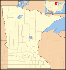
 Location of Cuyuna Country State Recreation Area in Minnesota
Cuyuna Country State Recreation Area is a state park unit of Minnesota, USA, being developed to rehabilitate a portion of the Cuyuna Range where mining pits and piles of waste rock were left behind after decades of open-pit mining for iron ore. Abandoned by mining companies more than 20 years ago, the state recreation area consists of regenerated vegetation and clear lakes that draw a wide range of recreation enthusiasts. The park is located off Minnesota State Highway 210, northeast of Brainerd. The Croft Mine Historical Park, formerly city-run, is now part of the state recreation area.
The Cuyuna Lakes State Trail is a paved 6.1-mile (9.8 km) path that stretches through the multi-unit Cuyuna Country State Recreation Area. In June 2011 30 miles (48 km) of single track trails for mountain biking officially opened to the public. The Cuyuna Lakes Mountain Bike Park has been designed for both recreational and experienced mountain bikers. This park is endorsed by the International Mountain Bicycling Association, who describe it as "the pinnacle of purpose-built off-road cycling trails."[citation needed]
The mine pits have naturally filled with water and one, Portsmouth Mine Pit Lake, is considered the deepest lake in Minnesota.
External links
Categories:- Minnesota state parks
- Mountain biking venues in the United States
- Protected areas established in 1993
- Protected areas of Crow Wing County, Minnesota


Wikimedia Foundation. 2010.