- Charni Road
-
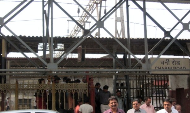
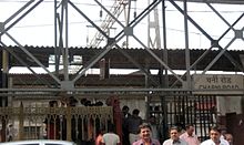 East entrance to Charni Road Station
Charni Road (Marathi: चर्नी रोड) (Old spellings: Churney Road and Charney Road)[1] is a railway station on the Mumbai suburban railway. The main significance of Charni Road station is that it is very near the Girgaum Chowpattibeach and Marine Drive promenade, a major destination for tourists in Mumbai. It is also important because of the diamond trading industry located here, mainly in the Panchratna building near the railway station. The station derives its name from the fact that grazing lands for cattle and horses were located nearby in earlier days (Charne in Marathi). In 1838, the British rulers introduced a 'grazing fee' which several cattle-owners could not afford. Therefore, Sir Jamshedji Jeejeebhoy spent Rs. 20,000 from his own purse for purchasing some grasslands near the seafront at Thakurdwar and saw that the starving cattle grazed without a fee in that area. In time the area became to be known as "Charni" meaning grazing. When a railway station on the BB&CI railway was constructed there it was called Charni Road.
References
- ^ D'Cunha, Jose Gerson (1900). "IV The Portuguese Period". The Origins of Bombay (3 ed.). Bombay: Asian Educational Services. pp. 212. ISBN 81-206-0815-1. http://books.google.co.in/books?id=miD5YO05jpUC&dq=the+origins+of+bombay. Retrieved 2008-12-29.
Charni Road Next station south:
Marine LinesMumbai Suburban Railway : Western Line Next station north:
Grant RoadStop No: 3 KM from starting: 2.21 Platforms: 4 Stations on the Western Line of Mumbai Suburban Railway Churchgate · Marine Lines · Charni Road · Grant Road · Mumbai Central · Mahalaxmi · Lower Parel · Elphinstone Road · Dadar · Matunga Road · Mahim Junction · Bandra · Khar Road · Santacruz · Vile Parle · Andheri · Jogeshwari · Goregaon · Malad · Kandivali · Borivali · Dahisar · Mira Road · Bhayandar · Naigaon · Vasai Road · Nala Sopara · Virar · Vaitarna · Saphale · Kelve Road · Palghar · Umroli · Boisar · Vangaon · Dahanu RoadCoordinates: 18°57′06″N 72°49′07″E / 18.951565°N 72.818633°E
Categories:- Railway stations in Mumbai
- Mumbai geography stubs
- Indian railway station stubs
Wikimedia Foundation. 2010.