- Malshej Ghat
-
 Malshej Hills
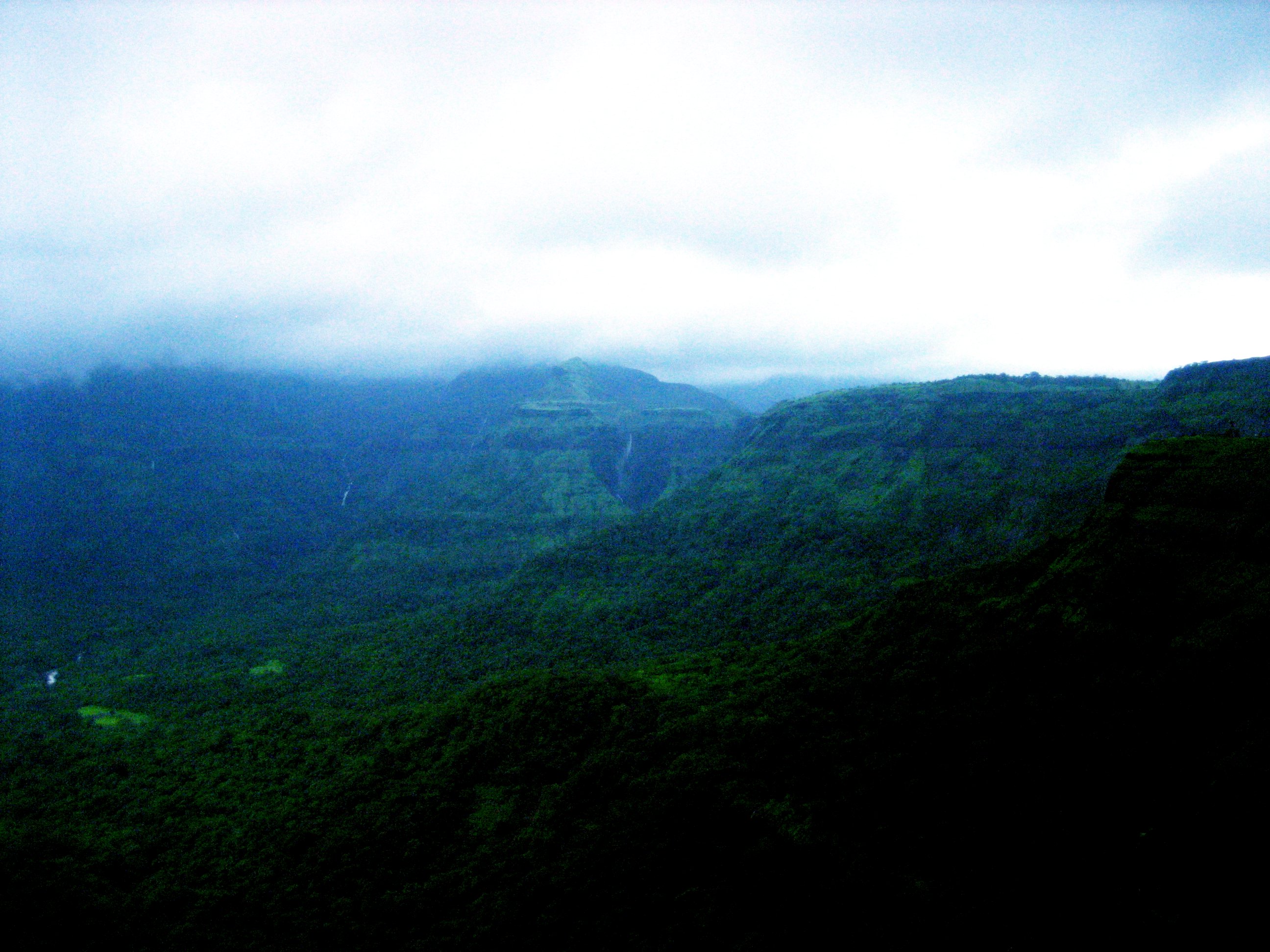
Malshej Ghat (Marathi: माळशेज घाट ) is a mountain pass in the Western Ghats range in pune district of Maharashtra, India. The site is nestled in the lofty rugged hills of the Western Ghats. The best time to visit is between August and September. At this time of the year, the hills are clothed in a soothing shade of mint green and the weather is cool due to the monsoons. Known for its misty tops and ice cold cascades at this time of the year, the site is a very popular weekend getaway for most of the city's residents at that time of the year. It has got number of waterfalls and the greenery is just awesome during the monsoons
The site is home to hundreds of different kinds of flora and fauna especially the avian population such as quails, rails, crakes, flamingos and cuckoos.
Contents
Getting there
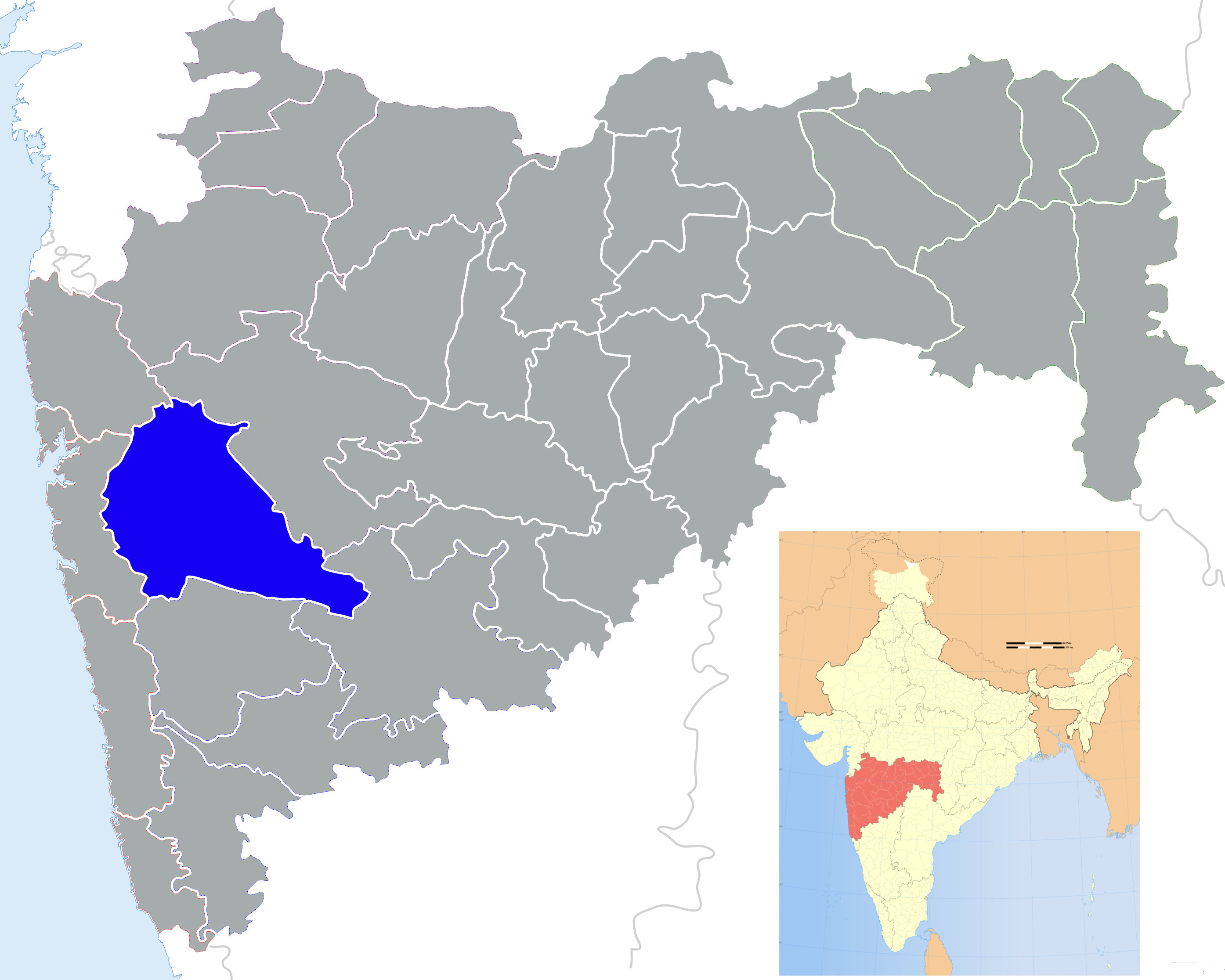
Malshej ghat is situated in Pune district near the borders of Thane and Ahmednagar districts. It is at a distance of 154 km from south Mumbai towards northeast and 130 km north of Pune. The nearest railhead is Kalyan near Mumbai. To go to Malshej ghat by road from Mumbai, take NH3 to Bhiwandi and turn towards Murbad or take state highway via Kalyan, Murbad, Saralgaon and Vaishakhare to reach the ghat. To go to Malshej ghat from Pune, take NH50 (Pune-Nasik highway), turn left at Narayangaon and pass through Junar. State Transport buses are cheaper and available from Kalyan, Karjat and Pune at regular intervals.
Shivneri fort, where Shivaji was born, is 40 km from Malshej ghat.
 Malshej Hills
Activities
For trekkers and hikers, it is a heaven of sorts as the solitude of unending rolling hills provides quite some experience. One can scale the peaks or explore the intricate jungle paths below. The Shivneri Fort is also the birthplace of Shivaji — one of the great past rulers of Maharashtra. Often dense fog covers the peaks of the hills. The site is also devoid of the mad rush of tourists that normally accompanies most other locations near the city. However, weekends attract many people during the monsoon.
Bird graves
The ghat has the dubious distinction of being a graveyard for small birds during the onset of the monsoons. Most of the birds nest among the cliffs of the Western Ghats. In this season, strong gusts of wind, heavy rain and dense fog often result in the birds getting disoriented. As many of the birds gravitate to the bright lights of the passing vehicles, the birds hit the cliff faces often leading to their deaths. However this phenomenon has decreased in the recent years according to local naturalists.
Accommodation
Since the area is at a considerable distance from a small town, there are not many posh restaurants and shopping malls. Flamingo Hill is a resort run by MTDC – Maharashtra Tourism Development Corporation in the vicinity. You need to book hotel rooms in advance, especially at weekends during the monsoon. Hotel booking can be done from any MTDC tourism office or online at http://www.maharashtratourism.gov.in.
The MTDC resort has improved over the years. The resort is huge and the view is fabulous. Unlike Lonavala where one gets to see only other resorts, the view from MTDC is that of mother nature i.e. greenery and the valley. The restaurants has mix of veg and non-veg options but the options are very limited. One has to order in advance to get a decent meal. The prices are reasonable.
However, during rainy season (July and August)one would hardly find a vacant room in this huge resort. But other than MTDC resort, there are other private resorts where you can spend a day or two. Resorts are cheap but prices may hike in rainy season.
Accommodation is also available in a nearby village called Madh. Madh is about 6 km away from Malshej ghat. Ranwara Residency offers excellent lodging facilities. The residency is situated by the picturesque back waters of Pimpalgaon Joga dam. The residency offers self contained 6 bed, 7 bath and breakfast at nominal rates. Ranwara Residency is also used by several film shooting crews from Bollywood & Tollywood.
See also
External links
Categories:- Pune district
- Tourism in Maharashtra
- Mountain passes of Maharashtra

Wikimedia Foundation. 2010.