- Deh Sabz District
-
Deh Sabz District — District — Location in Kabul Province
Country  Afghanistan
Province Kabul Province Capital Tarakhel Time zone AST (UTC+04:30) Deh Sabz District is situated northeast of Kabul City in Afghanistan. It has a population of 100,136 people (2002 UNHCR estimate). About 70% are Pashtuns, and 30% are Tajiks.[1]
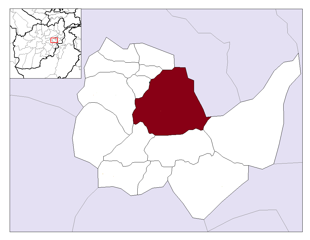
Deh Sabz borders Shakardara and Mir Bacha Kot districts to the west, Kalakan and Qarabagh districts to the north-west, Parvan Province to the north and east, Surobi to the southeast and Bagrami and Kabul districts to the south. The headquarters of Deh Sabz is the village of Tarakhel, situated in the south-western part of the district.
The Kabul River flows through the district in its southern end and the main highway (Kabul-Jalalabad) passes along it. Most of its people live in villages. Many houses were destroyed during the Soviet war in Afghanistan, and many people were displaced. Agriculture is the most important source of income, though droughts are a serious problem. Education is relatively good, there are some schools for boys and girls. The district's health care is expected to improve by 2011.
In early 2007, the Afghan Ministry for Rural Rehabilitation and Development (MRRD) laid a foundation of a modern residential scheme in Deh Sabz district for a 20,000 houses. It is part of an extension of Kabul City with Deh Sabz district, expected to be completed in five years.[2]
References
External links
Capital 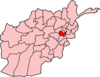
Districts Bagrami · Chahar Asyab · Deh Sabz · Farza · Guldara · Istalif · Kabul · Kalakan · Khaki Jabbar · Mir Bacha Kot · Mussahi · Paghman · Qarabagh · Shakardara · SurobiCities Bagrami · Qalai Naeem · Tarakhel · Dehnawe Farza · Guldara · Istalif · Kabul · Kalakan · Khak-i Jabbar · Mir Bacha Kot · Mussahi · Paghman · Qara Bagh · Shakar Dara · SurobiLandmarks Darul Aman Palace · Abdul Rahman Mosque · Bala Hissar · Gurdwara Karte Parwan · InterContinental Hotel · Kabul's Irish Pub · Kabul Library · National Museum of Afghanistan · Pul-e Khishti Mosque · Safi Landmark Hotel · Shah-Do Shamshira MosqueCategories:- Districts of Kabul Province
- Afghanistan geography stubs

Wikimedia Foundation. 2010.