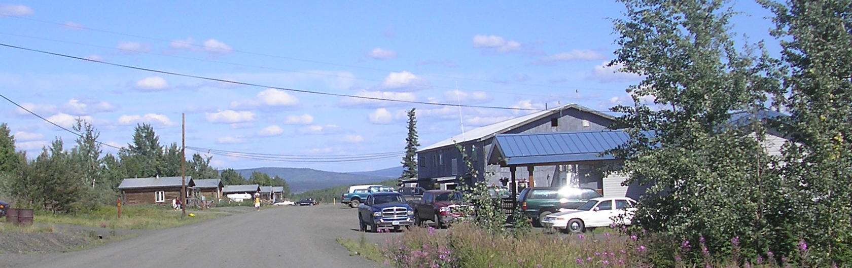
- Minto, Alaska
-
Minto, Alaska — CDP — Minto, Alaska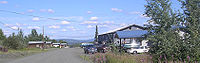 Location of Minto in the state of Alaska, United States
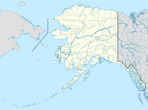
 Minto, Alaska
Coordinates: 65°9′28″N 149°22′12″W / 65.15778°N 149.37°WCoordinates: 65°9′28″N 149°22′12″W / 65.15778°N 149.37°W Country United States State Alaska Census Area Yukon-Koyukuk Area – Total 138.6 sq mi (359.0 km2) – Land 135.1 sq mi (349.8 km2) – Water 3.6 sq mi (9.3 km2) Population (2000) – Total 258 – Density 1.9/sq mi (0.7/km2) Time zone Alaska (AKST) (UTC-9) – Summer (DST) AKDT (UTC-8) Area code 907 FIPS code 02-49530 Minto is a census-designated place (CDP) in Yukon-Koyukuk Census Area, Alaska, United States. As of the 2000 census, the population of the CDP is 258. The name is an anglicized version of the Lower Tanana Athabaskan name Menh Ti, meaning 'among the lakes'. After repeated flooding the village was relocated to its present location in 1969. The former village site is now known as Old Minto.
Contents
Geography
Minto is an Athabascan Indian village located at the end of the Minto Spur Road, which comes off the Elliot Highway. It is located at 65°9′28″N 149°22′12″W / 65.15778°N 149.37°W (65.157885, -149.369916)[1]. The village is located on a bluff above the Tolovana River flats, which contain several lakes formed by the flow of the river through low-lying areas.
According to the United States Census Bureau, the CDP has a total area of 138.6 square miles (359 km2), of which, 135.1 square miles (350 km2) of it is land and 3.6 square miles (9.3 km2) of it (2.58%) is water.
Demographics
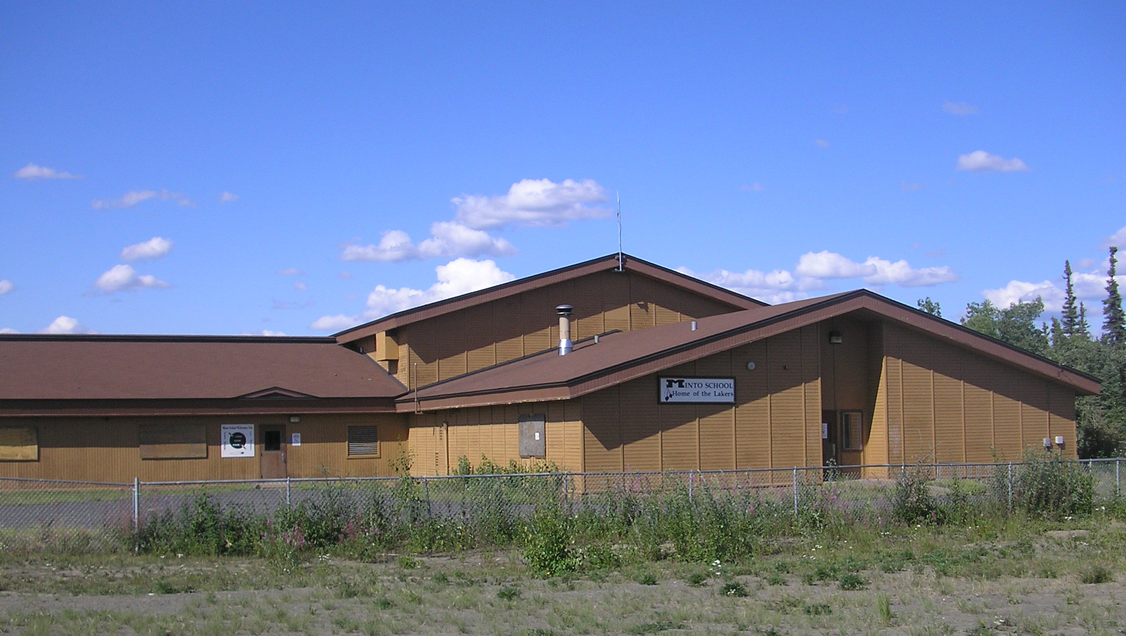
 Minto school's athletic teams are known as the Lakers due to the town's proximity to several lakes formed by the flow of the Tolovana River.
As of the census[2] of 2000, there were 258 people, 74 households, and 54 families residing in the CDP. The population density was 1.9 people per square mile (0.7/km²). There were 99 housing units at an average density of 0.7/sq mi (0.3/km²). The racial makeup of the CDP was 7.75% White, 91.86% Native American, and 0.39% from two or more races.
There were 74 households out of which 39.2% had children under the age of 18 living with them, 33.8% were married couples living together, 21.6% had a female householder with no husband present, and 27.0% were non-families. 25.7% of all households were made up of individuals and 9.5% had someone living alone who was 65 years of age or older. The average household size was 3.49 and the average family size was 4.15.
In the CDP the age distribution of the population shows 38.8% under the age of 18, 11.6% from 18 to 24, 21.7% from 25 to 44, 18.2% from 45 to 64, and 9.7% who were 65 years of age or older. The median age was 25 years. For every 100 females there were 113.2 males. For every 100 females age 18 and over, there were 129.0 males.
The median income for a household in the CDP was $21,250, and the median income for a family was $37,500. Males had a median income of $28,750 versus $28,125 for females. The per capita income for the CDP was $9,639. About 18.2% of families and 26.4% of the population were below the poverty line, including 25.0% of those under the age of eighteen and 12.5% of those sixty five or over.
Transportation
Although a small community it has a small landing strip called Minto Airport. It gives direct flights to Fairbanks.
History
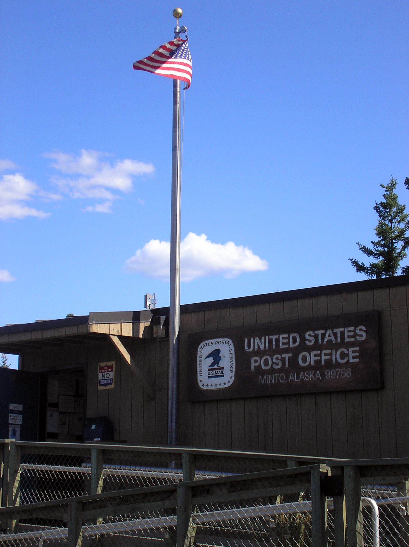
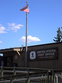 Minto's post office is seen in July 2009.
Minto is in the western part of traditional Tanana Athabaskan territory. During the late 1800s, some members of the nomadic Minto band traveled to Tanana, Rampart and Fort Yukon to trade furs for manufactured goods, tea and flour. After gold was discovered north of Fairbanks in 1902, steamboats began to travel on the Tanana River, bringing goods and people into the area. Old Minto, on the banks of the Tanana River, became a permanent settlement when some members of the Minto band built log cabins there. Other families lived there seasonally in tents. A school was established in 1937, but most families still did not live in Minto year-round until the 1950s. The people from the Minto band were eventually joined by families from Nenana, Toklat, Crossjacket and Chena.
Minto was relocated in 1969, due to repeated flooding and erosion. The present site is 65 km (40 mi) north of the old site. The new site had been used as a fall and winter camp since the early 1900s. New housing and a new school were completed by 1971.
Language
The traditional language of Minto is Lower Tanana, one of eleven Athabaskan languages spoken in Alaska.
References
- ^ "US Gazetteer files: 2010, 2000, and 1990". United States Census Bureau. 2011-02-12. http://www.census.gov/geo/www/gazetteer/gazette.html. Retrieved 2011-04-23.
- ^ "American FactFinder". United States Census Bureau. http://factfinder.census.gov. Retrieved 2008-01-31.
External links
Municipalities and communities of Yukon-Koyukuk Census Area, Alaska Cities 
CDPs Alatna | Arctic Village | Beaver | Birch Creek | Central | Chalkyitsik | Circle | Coldfoot | Evansville | Flat | Four Mile Road | Lake Minchumina | Livengood | Manley Hot Springs | Minto | New Allakaket | Rampart | Stevens Village | Takotna | Venetie | Wiseman
Unincorporated
communitiesCategories:- Census-designated places in Alaska
- Populated places in Yukon–Koyukuk Census Area, Alaska
- Populated places in Alaska with Native American majority populations


Wikimedia Foundation. 2010.