- Chesterfield, Indiana
-
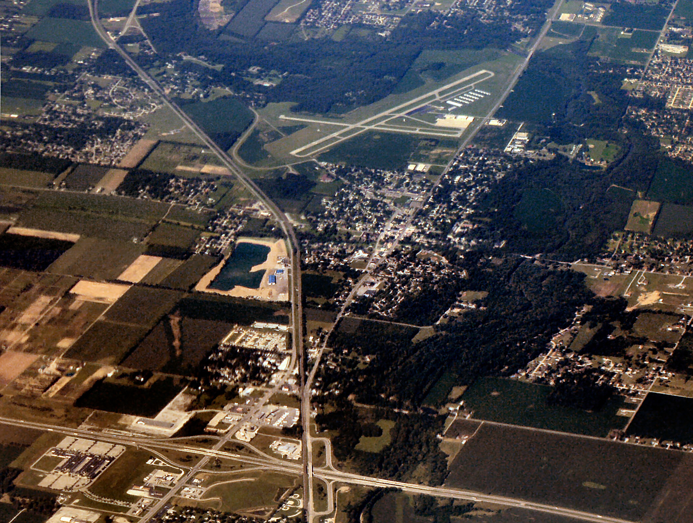
Chesterfield — Town — Town of Chesterfield Aerial view of Chesterfield facing southwest Location in the state of Indiana
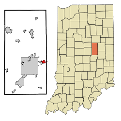
Coordinates: 40°6′44″N 85°35′47″W / 40.11222°N 85.59639°WCoordinates: 40°6′44″N 85°35′47″W / 40.11222°N 85.59639°W Country United States State Indiana Counties Madison, Delaware Townships Union, Area – Total 1.1 sq mi (3.0 km2) – Land 1.1 sq mi (3.0 km2) – Water 0.0 sq mi (0.0 km2) Elevation 909 ft (277 m) Population (2010) – Total 2,547 – Density 2,581.7/sq mi (996.8/km2) Time zone EST (UTC-5) – Summer (DST) EST (UTC-5) ZIP code 46017 Area code(s) 765 FIPS code 18-12376[1] GNIS feature ID 0432454[2] Website http://chesterfield.in.gov Chesterfield is a town in the U.S. state of Indiana which lies in Union Township, Madison County. The population was 2,547 at the 2010 census. It is part of the Anderson, Indiana Metropolitan Statistical Area.
Contents
Geography
Chesterfield is located at 40°6′44″N 85°35′47″W / 40.11222°N 85.59639°W (40.112193, -85.596324)[3].
According to the United States Census Bureau, the town has a total area of 1.1 square miles (2.8 km2), all of it land.
Demographics
As of the census[1] of 2000, there were 2,969 people, 1,269 households, and 808 families residing in the town. The population density was 2,586.5 people per square mile (996.8/km²). There were 1,365 housing units at an average density of 1,189.1 per square mile (458.3/km²). The racial makeup of the town was 98.42% White, 0.40% African American, 0.10% Native American, 0.30% Asian, 0.30% from other races, and 0.47% from two or more races. Hispanic or Latino of any race were 1.38% of the population.
There were 1,269 households out of which 31.3% had children under the age of 18 living with them, 48.3% were married couples living together, 11.4% had a female householder with no husband present, and 36.3% were non-families. 30.8% of all households were made up of individuals and 11.6% had someone living alone who was 65 years of age or older. The average household size was 2.30 and the average family size was 2.87.
In the town the population was spread out with 24.2% under the age of 18, 8.5% from 18 to 24, 29.9% from 25 to 44, 22.5% from 45 to 64, and 14.9% who were 65 years of age or older. The median age was 36 years. For every 100 females there were 87.7 males. For every 100 females age 18 and over, there were 84.3 males.
The median income for a household in the town was $37,143, and the median income for a family was $47,222. Males had a median income of $35,412 versus $22,966 for females. The per capita income for the town was $18,738. About 2.9% of families and 5.9% of the population were below the poverty line, including 5.9% of those under age 18 and 7.5% of those age 65 or over.
Transport
Chesterfield is served by a variety of major roads.
References
- ^ a b "American FactFinder". United States Census Bureau. http://factfinder.census.gov. Retrieved 2008-01-31.
- ^ "US Board on Geographic Names". United States Geological Survey. 2007-10-25. http://geonames.usgs.gov. Retrieved 2008-01-31.
- ^ "US Gazetteer files: 2010, 2000, and 1990". United States Census Bureau. 2011-02-12. http://www.census.gov/geo/www/gazetteer/gazette.html. Retrieved 2011-04-23.
External links
Municipalities and communities of Delaware County, Indiana City 
Towns Townships Unincorporated
communitiesAnthony | Aultshire | Bethel | Cammack | Cowan | Cross Roads | DeSoto | Drew | Gates Corner | Granville | Hyde Park | Janney | Liberty Corners | Mayfield | Middletown Park | Morningside | Mount Pleasant | New Burlington | Oakville | Progress | Reed Station | Royerton | Shideler | Smithfield | Stockport | West Muncie | Wheeling | Woodland Park
Footnotes ‡This populated place also has portions in an adjacent county or counties
Municipalities and communities of Madison County, Indiana Cities Alexandria | Anderson | Elwood‡

Towns Chesterfield‡ | Country Club Heights | Edgewood | Frankton | Ingalls | Lapel | Markleville | Orestes | Pendleton | River Forest | Summitville | Woodlawn Heights
Townships Adams | Anderson | Boone | Duck Creek | Fall Creek | Green | Jackson | Lafayette | Monroe | Pipe Creek | Richland | Stony Creek | Union | Van Buren
Unincorporated
communitiesAlfont | Alliance | Bloomer | College Corner | Dundee | Edgewood Village | Emporia | Fishersburg | Florida | Gridley | Hamilton | Hardscrabble | Huntsville | Leisure | Linwood | Moonville | New Columbus | Perkinsville | Prosperity | Rigdon | Sunview
Footnotes ‡This populated place also has portions in an adjacent county or counties
Indianapolis metropolitan area Core cities 
Other municipalities over 20,000 population
(in 2010)Brownsburg • Fishers • Franklin • Greenfield • Greenwood • Lawrence • Noblesville • Plainfield • WestfieldMunicipalities 1,000-20,000 population
(in 2010)Arcadia • Avon • Bargersville • Beech Grove • Brooklyn • Cicero • Clermont • Cloverdale • Cumberland • Danville • Edinburgh • Fairland • Fortville • Greencastle • Lebanon • Martinsville • McCordsville • Mooresville • Morristown • New Palestine • New Whiteland • Pittsboro • Princes Lakes • Shelbyville • Sheridan • Speedway • Southport • St. Paul • Thorntown • Whiteland • ZionsvilleCounties Categories:- Populated places in Delaware County, Indiana
- Populated places in Madison County, Indiana
- Towns in Indiana
- Indianapolis metropolitan area

Wikimedia Foundation. 2010.