- Osceola, Iowa
-
Osceola, Iowa — City — Clarke County Courthouse in Osceola Location of Osceola, Iowa
Coordinates: 41°2′3″N 93°46′6″W / 41.03417°N 93.76833°WCoordinates: 41°2′3″N 93°46′6″W / 41.03417°N 93.76833°W Country  United States
State  Iowa
IowaCounty Clarke Area – Total 6.0 sq mi (15.6 km2) – Land 5.8 sq mi (15.1 km2) – Water 0.2 sq mi (0.5 km2) Elevation 1,142 ft (348 m) Population (2000) – Total 4,659 – Density 798.2/sq mi (308.2/km2) Time zone Central (CST) (UTC-6) – Summer (DST) CDT (UTC-5) ZIP code 50213 Area code(s) 641 FIPS code 19-59835 GNIS feature ID 0459906 Osceola is a city in Clarke County, Iowa, United States. The population was 4,659 at the 2000 census. It is the county seat of Clarke County[1].
Contents
Geography
Osceola is located at 41°2′3″N 93°46′6″W / 41.03417°N 93.76833°W (41.034179, -93.768354)[2], at the junction of Interstate 35 and U.S. Routes 34 and 69. It lies 35 miles (56 km) north of the Missouri border.
According to the United States Census Bureau, the city has a total area of 6.0 square miles (16 km2), of which, 5.8 square miles (15 km2) of it is land and 0.2 square miles (0.52 km2) of it (3.31%) is water.
History

Osceola was named after a Seminole Indian leader of the same name. Osceola is an anglicised form of Asiyahola; assi, from a ceremonial yaupon holly tea or "black drink" and yaholi, the name of a Creek god intoned when the drink was served.
The Masonic Building stands on the public square in Osceola. Built in 1872, this Italianate building were used by Osceola Lodge No. 77 of the Ancient Free & Accepted Masons, and the main floor was a bank and hardware store. This building has been placed on the Iowa Historic Preservation Alliance’s Most Endangered list because of its poor repair and lack of preservation plan.[3][4]
Nearly seven years ago the citizens of Osceola voted 'Yes' on a referendum that allowed a Casino boat to be established on their West Lake. The boat has since been taken over by Terrible's Herbst, and is now called Terrible's Lakeside Casino & Resort. A bright and gaudy 132 ft., $1 million, cowboy was erected on the sight to make the boat's presence known.
More recent developments include the building of a Wal-Mart department store which is located near Interstate 35 and Highway 34, and the opening of a new Dollar General Store which is located on Highway 69 where the old Boyt building once stood. This is part of a general economic upswing for Osceola that has accompanied the casino's advent.
Demographics
Osceola Historical Population Year Pop. ±% 1870 1,298 — 1880 1,769 +36.3% 1890 2,120 +19.8% 1900 2,505 +18.2% 1910 2,416 −3.6% 1920 2,684 +11.1% 1930 2,871 +7.0% 1940 3,281 +14.3% 1950 3,422 +4.3% 1960 3,350 −2.1% 1970 3,124 −6.7% 1980 3,750 +20.0% 1990 4,164 +11.0% 2000 4,659 +11.9% Source: "American FactFinder". United States Census Bureau. http://factfinder.census.gov. As of the census[5] of 2000, there were 4,659 people, 1,945 households, and 1,229 families residing in the city. The population density was 798.2 people per square mile (308.0/km²). There were 2,118 housing units at an average density of 362.9 per square mile (140.0/km²). The racial makeup of the city was 95.73% White, 0.11% African American, 0.19% Native American, 0.58% Asian, 0.06% Pacific Islander, 2.75% from other races, and 0.58% from two or more races. Hispanic or Latino of any race were 6.25% of the population.
There were 1,945 households out of which 29.8% had children under the age of 18 living with them, 49.7% were married couples living together, 10.1% had a female householder with no husband present, and 36.8% were non-families. 31.7% of all households were made up of individuals and 17.4% had someone living alone who was 65 years of age or older. The average household size was 2.36 and the average family size was 2.98.
In the city the population was spread out with 25.6% under the age of 18, 8.5% from 18 to 24, 25.6% from 25 to 44, 21.4% from 45 to 64, and 18.8% who were 65 years of age or older. The median age was 38 years. For every 100 females there were 89.9 males. For every 100 females age 18 and over, there were 85.1 males.
The median income for a household in the city was $32,701, and the median income for a family was $45,263. Males had a median income of $31,674 versus $21,684 for females. The per capita income for the city was $17,244. About 5.2% of families and 7.6% of the population were below the poverty line, including 13.3% of those under age 18 and 7.7% of those age 65 or over.
Transportation
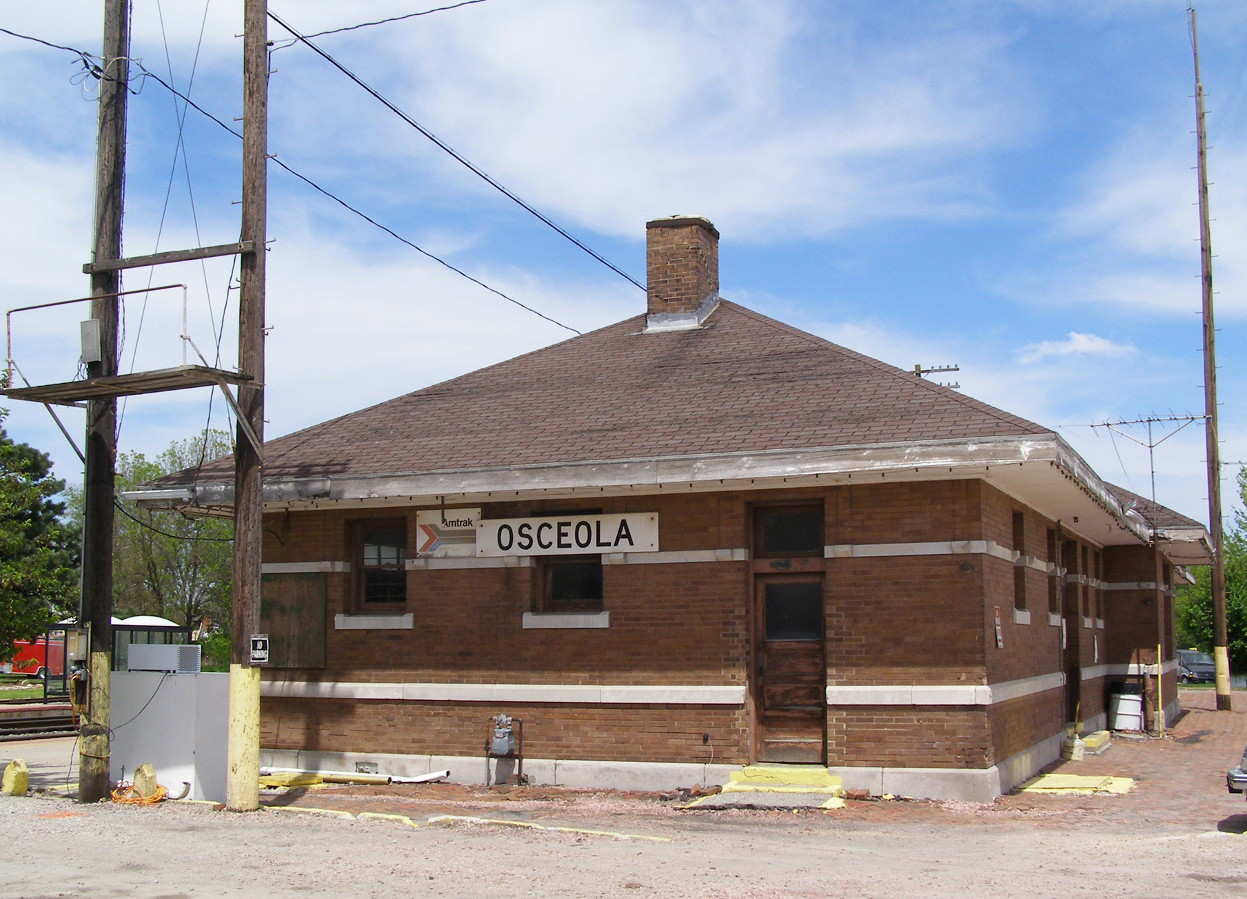
Amtrak, the national passenger rail system, provides service to Osceola, operating its California Zephyr daily in both directions between Chicago, Illinois, and Emeryville, California, across the bay from San Francisco. A bus connection is available from Osceola to Des Moines.
Gallery
-

Osceola water tower
-

Main Street in Osceola
-

Amtrak Station in Osceola
References
- ^ "Find a County". National Association of Counties. http://www.naco.org/Counties/Pages/FindACounty.aspx. Retrieved 2011-06-07.
- ^ "US Gazetteer files: 2010, 2000, and 1990". United States Census Bureau. 2011-02-12. http://www.census.gov/geo/www/gazetteer/gazette.html. Retrieved 2011-04-23.
- ^ Cedar Rapids Gazette, Cedar Rapids historic buildings make 'most endangered' list: http://www.gazetteonline.com/apps/pbcs.dll/article?AID=/20090124/NEWS/701249934/1002/NEWS
- ^ Iowa’s Most Endangered Properties, http://www.iowapreservation.org/endangered.php
- ^ "American FactFinder". United States Census Bureau. http://factfinder.census.gov. Retrieved 2008-01-31.
External links
- City-Data Comprehensive Statistical Data and more about Osceola
Municipalities and communities of Clarke County, Iowa County seat: OsceolaCities 
Townships Categories:- Populated places in Clarke County, Iowa
- Cities in Iowa
- County seats in Iowa
-


Wikimedia Foundation. 2010.