Coppell — may refer to: Coppell, Ontario Coppell, Texas Coppell High School Steve Coppell (born 1955), English football manager See also Coppel (disambiguation) Koppel (disambiguation) This disambiguation page lis … Wikipedia
Coppell — 49° 31′ 59″ N 83° 49′ 59″ W / 49.533, 83.833 … Wikipédia en Français
List of communities in Ontario — Communities in the province of Ontario, Canada Note: this is an incomplete list of communities, not necessarily organized municipalities. For organized municipalities see list of municipalities in Ontario and for census subdivisions see list of… … Wikipedia
Hearst, Ontario — Infobox City official name = Town of Hearst other name = native name = nickname = motto = imagesize = image caption = flag size = image seal size = image shield = shield size = image blank emblem = blank emblem size = mapsize = map caption =… … Wikipedia
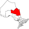
Cochrane, Unorganized, North Part, Ontario — Cochrane, Unorganized, North Part is an unorganized area in the District of Cochrane in northeastern Ontario, Canada. It comprises all parts of the district north of Timmins and Iroquois Falls which are not part of an incorporated… … Wikipedia
Highway 583 (Ontario) — Highway 583 is a secondary highway in the Canadian province of Ontario. Located in the Cochrane District, the highway extends from the community of Mead approximately 65 kilometres northerly to Lac Sainte Thérèse. En route, it passes through the… … Wikipedia
Dallas/Fort Worth International Airport — IATA: DFW – ICAO … Wikipedia
List of secondary highways in Cochrane District — This is a list of secondary highways in Cochrane District, most of which serve as logging roads, mine and dam access roads, or provide access to isolated and sparsely populated areas in the Cochrane District of northeastern Ontario. Contents 1… … Wikipedia
Cochrane, Unorganized, North Part — 50° N 82° W / 50, 82 … Wikipédia en Français
Aeropuerto Internacional de Dallas-Fort Worth — IATA: DFW OACI: KDFW Sumario … Wikipedia Español
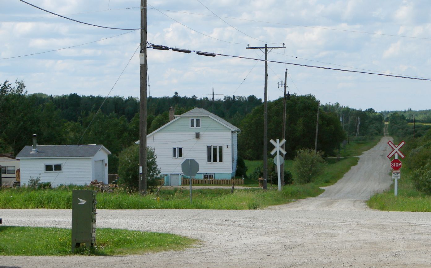
 Coppell and the ACR.