- Michelmersh
-
Coordinates: 51°02′00″N 1°30′29″W / 51.03323°N 1.50794°W
Michelmersh 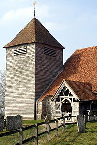
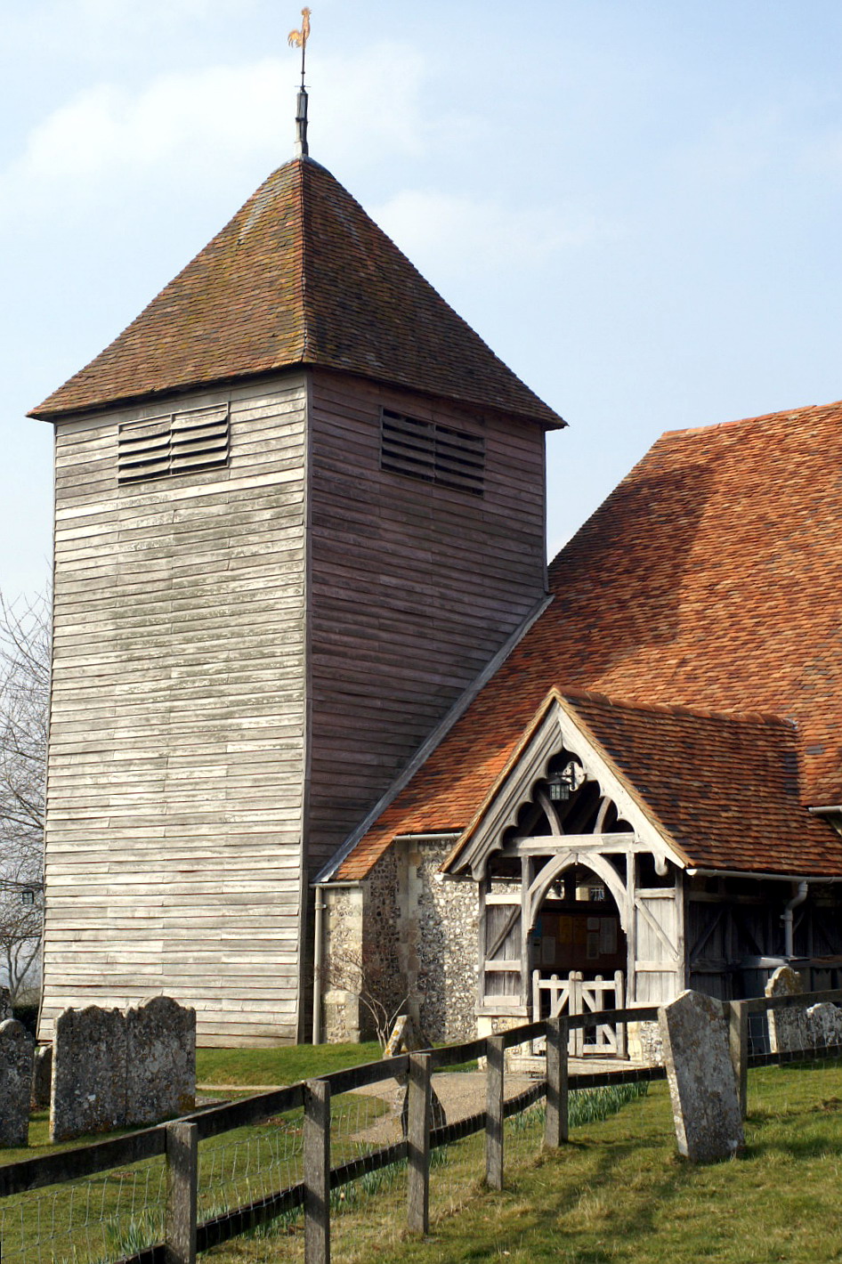
St Mary's Church, Michelmersh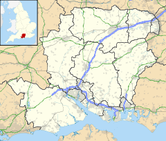
 Michelmersh
Michelmersh shown within HampshirePopulation 735 [1] OS grid reference SU346261 Parish Michelmersh & Timsbury District Test Valley Shire county Hampshire Region South East Country England Sovereign state United Kingdom Post town ROMSEY Postcode district SO51 Dialling code 01794 Police Hampshire Fire Hampshire Ambulance South Central EU Parliament South East England UK Parliament Romsey List of places: UK • England • Hampshire Michelmersh is a small, scattered village in Hampshire, England some three miles north of Romsey.
It forms a civil parish with Timsbury that forms part of the Test Valley district. The Monarch's Way long-distance footpath crosses the parish, passing through the churchyard of the 12th century St Mary's Church.
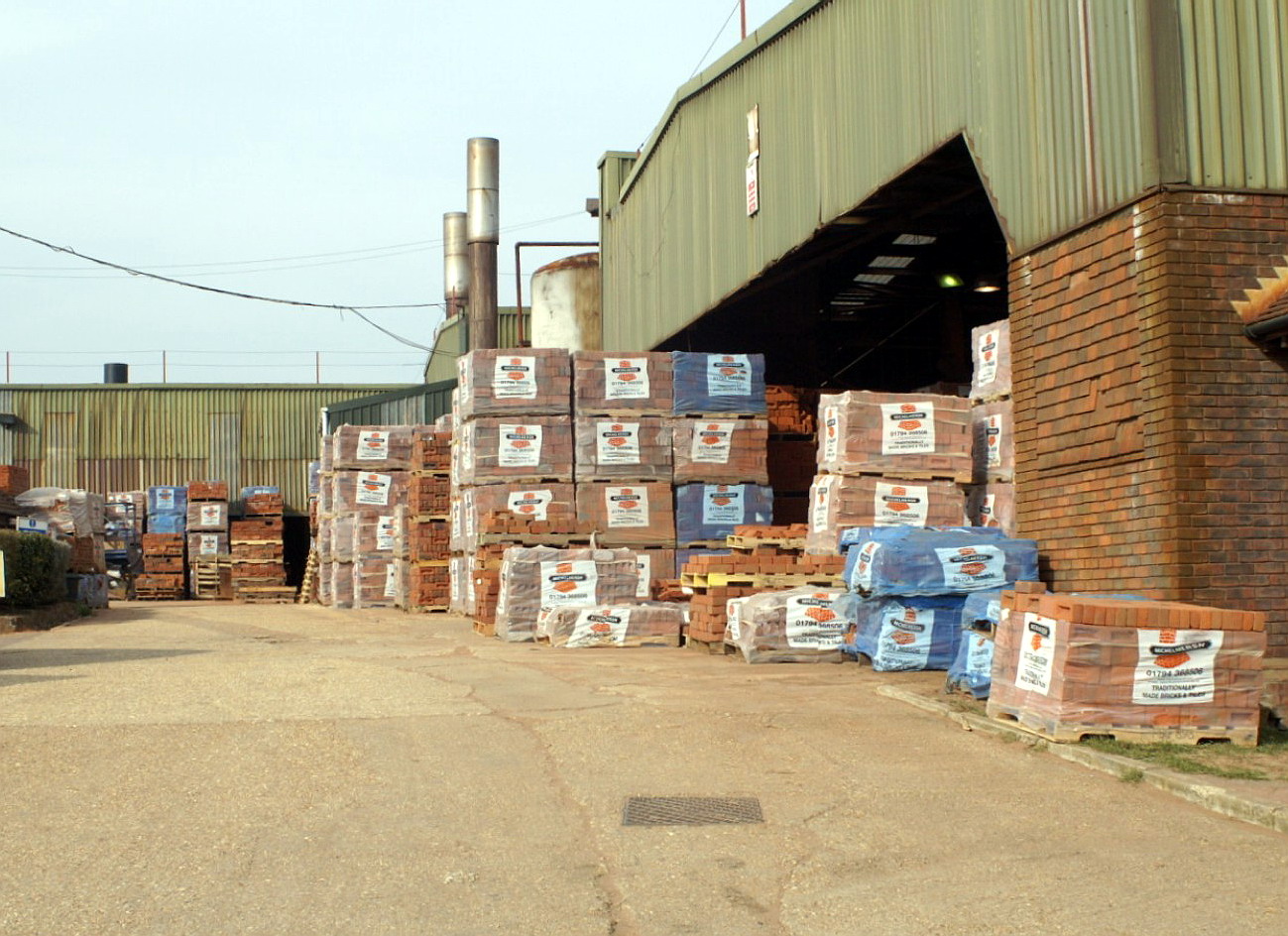
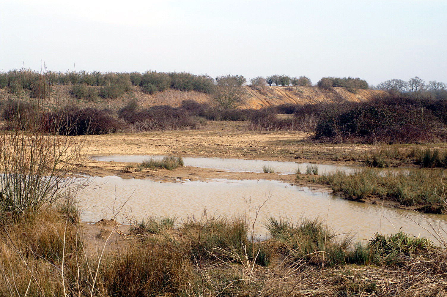
The parish is located to the east of the River Test on the northern edge of the Hampshire Basin, with chalk in the north overlain by clays and sands of the Lambeth Group to the south.[2] It has a brick and tile works, and extensive former sand pits on Casbrook Common, now used as a landfill site.
The name Michelmersh is derived from the Old English micel + mersc, meaning ' large marsh'[3].
-
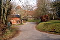
Church Road, Michelmersh
-

Michelmersh brickworks
-

Casbrook Common
External links
References
- ^ "Parish Headcounts, Area: Michelmersh CP (includes Timsbury)". Neighbourhood Statistics. Office for National Statistics. 2001. http://www.neighbourhood.statistics.gov.uk/dissemination/LeadTableView.do?a=3&b=795165&c=Michelmersh&d=16&e=15&g=452828&i=1001x1003x1004&k=Stockbridge&o=1&m=0&r=1&s=1204207656421&enc=1&dsFamilyId=779. Retrieved 2008-02-28.
- ^ British Geological Survey, 2002, England & Wales Sheet 299: Winchester, 1:50,000 Geology Series, Keyworth, Nottingham:British Geological Survey, ISBN 07518-3340-1
- ^ Mills, A.D: A Dictionary of English Place-Names, page 229. Oxford University Press, 1991.
Towns, villages and hamlets in the Test Valley District of Hampshire, England  Abbotswood · Abbotts Ann · Abbotts Ann Down · Ampfield · Amport · Andover · Andover Down · Anna Valley · Appleshaw · Ashfield · Awbridge · Barton Stacey · Bossington · Braishfield · Broughton · Charlton · Chattis Hill · Chilbolton · Chilbolton Down · Clanville · Crampmoor · Dunbridge · Dunley · East Anton · Embley · East Cholderton · East Dean · East Tytherley · Faberstown · Faccombe · Finkley · Finkley Down · Forton · Fox Amport · Foxcotte · Freefolk · Fullerton · Fyfield · Goodworth Clatford · Gore End · Grateley · Hatherden · Hillyfields · Houghton · Houghton Down · Hurstbourne Tarrant · Kimbridge · Kimpton · King's Somborne · Knights Enham · Leckford · Lickenholt · Little Down · Little Hatherden · Little Somborne · Lockerley · Longparish · Longstock · Longstock Park · Lower Wyke · Marsh Court · Michelmersh · Middle Wallop · Monxton · Mottisfont · Nether Wallop · Newton Stacey · North Baddesley · North Houghton · Nursling · Over Wallop · Penton Corner · Penton Grafton · Picket Piece · Picket Twenty · Pill Heath · Plaitford · Quarley · Ragged Appleshaw · Ramridge Park · Red Post Bridge · Red Rice · Redenham · Romsey · Sherfield English · Shipton Bellinger · Shootash · Smannell · South Harewood · Stockbridge · Tangley · Thruxton · Up Somborne · Upper Clatford · Upper Enham · Vernhams Dean · Vernham Street · Wellow · West Tytherley · Wherwell · Wherwell Wood · WildhernCategories:
- Villages in Hampshire
- Monarch's Way
- Test Valley
- Hampshire geography stubs
-


Wikimedia Foundation. 2010.