- Denipaire
-
Denipaire

 DenipaireLocation within Lorraine region
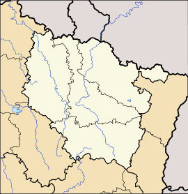 Denipaire
Administration Country France Region Lorraine Department Vosges Arrondissement Saint-Dié-des-Vosges Canton Senones Intercommunality Vallée du Hure Mayor Roseline Pierrel-Villemin
(2008–2014)Statistics Elevation 333–650 m (1,093–2,130 ft)
(avg. 350 m/1,150 ft)Land area1 7.02 km2 (2.71 sq mi) Population2 253 (2006) - Density 36 /km2 (93 /sq mi) INSEE/Postal code 88128/ 88210 1 French Land Register data, which excludes lakes, ponds, glaciers > 1 km² (0.386 sq mi or 247 acres) and river estuaries. 2 Population without double counting: residents of multiple communes (e.g., students and military personnel) only counted once. Coordinates: 48°20′37″N 6°58′00″E / 48.3436111111°N 6.96666666667°E
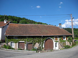
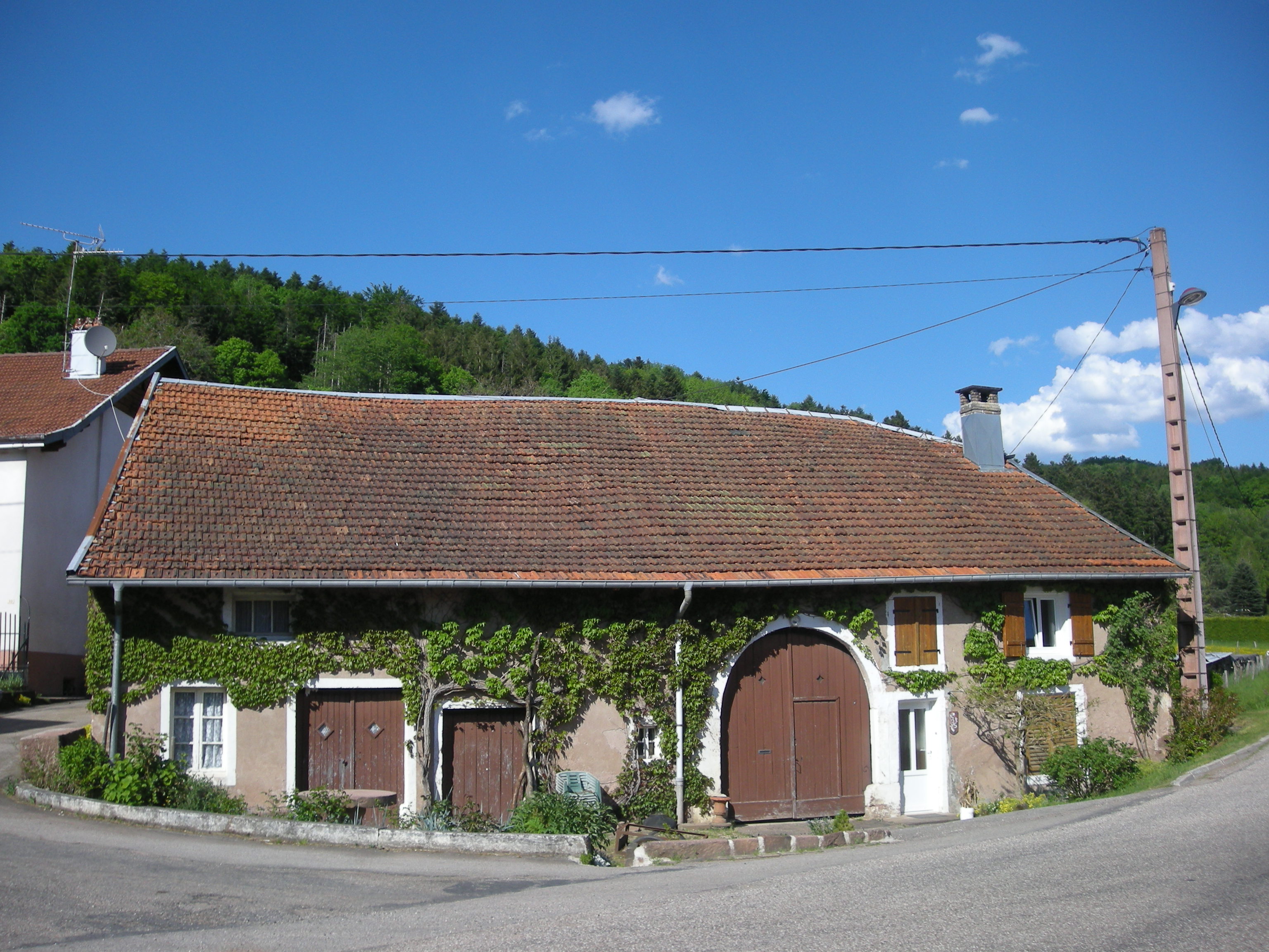
Denipaire is a commune in the Vosges department in Lorraine in northeastern France.
See also
References
Categories:- Communes of Vosges
- Vosges geography stubs


Wikimedia Foundation. 2010.