- Current River State Park
-
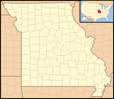
Current River State Park Missouri State Park Country United States State Missouri County Shannon County Coordinates 37°19′18″N 91°26′12″W / 37.32167°N 91.43667°W Area 1.22 sq mi (3 km2) Founded 2008 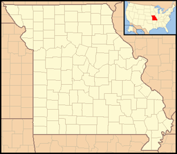

Website: http://mostateparks.com/currentriver.htm Current River State Park is a new state park being developed by the state of Missouri. It is located on 780 acres (3.2 km2) of land along the Current River located north of Eminence in Shannon County. The park consists of land and buildings originally developed by the Alton Box Board Company of Alton, Illinois, as a corporate retreat in the late 1930s and early 1940s. Many of the rustic buildings are listed on the National Register of Historic Places. The park is expected to open some time in 2010.
See also
References
- "Current River State Park". Missouri State Parks website. Missouri Department of Natural Resources. 2008-11-10. http://www.mostateparks.com/currentriver.htm. Retrieved 2008-12-15.
Protected Areas of Missouri Federal National Wildlife Refuges:Big Muddy • Clarence Cannon • Great River • Middle Mississippi River • Mingo • Ozark Cavefish • Pilot Knob • Squaw Creek • Swan Lake • Two RiversNational Forests:State Babler • Sam A. Baker • Bennett Spring • Big Lake • Big Oak Tree • Big Sugar Creek • Castlewood • Crowder • Cuivre River • Current River • Elephant Rocks • Finger Lakes • Graham Cave • Grand Gulf • Ha Ha Tonka • Harry S Truman • Hawn • Johnson's Shut-Ins • Jones-Confluence Point • Katy Trail • Knob Noster • Lake of the Ozarks • Lake Wappapello • Lewis and Clark • Long Branch • Mark Twain • Meramec • Montauk • Morris • Onondaga Cave • Pershing • Pomme de Terre • Prairie • Roaring River • Robertville • Rock Bridge Memorial • Route 66 • St. Francois • St. Joe • Stockton • Table Rock • Taum Sauk Mountain • Thousand Hills • Trail of Tears • Van Meter • Wakonda • Wallace • Washington • Watkins Woolen Mill • Weston BendArrow Rock • Battle of Athens • Battle of Carthage • Battle of Lexington • Thomas Hart Benton Home and Studio • Bollinger Mill • Nathan Boone Homestead • Boone's Lick • Bothwell Lodge • Clark's Hill/Norton • Confederate Memorial • Deutschheim • Dillard Mill • Gov. Daniel Dunklin's Grave • Felix Vallé House • First Missouri State Capitol • Fort Davidson • Gen. John J. Pershing Boyhood Home • Harry S Truman Birthplace • Hunter-Dawson • Iliniwek Village • Jefferson Landing • Jewell Cemetery • Locust Creek Covered Bridge • Mark Twain Birthplace • Mastodon • Missouri Mines • Missouri State Capitol • Missouri State Museum • Osage Village • Sandy Creek Covered Bridge • Sappington Cemetery • Scott Joplin House • Towosahgy • Union Covered Bridge • Watkins Woolen MillConservation areas:List of Missouri conservation areasCategories:- Missouri state parks
- Geography of Shannon County, Missouri
- Protected areas established in 2008
- Missouri stubs
Wikimedia Foundation. 2010.