- National Register of Historic Places listings in Bryan County, Oklahoma
-
 Location of Bryan County in Oklahoma
This is a list of the National Register of Historic Places listings in Bryan County, Oklahoma.
This is intended to be a complete list of the properties and districts on the National Register of Historic Places in Bryan County, Oklahoma, United States. The locations of National Register properties and districts for which the latitude and longitude coordinates are included below, may be seen in a Google map.[1]
There are 16 properties and districts listed on the National Register in the county, including 1 National Historic Landmark.
-
- This National Park Service list is complete through NPS recent listings posted November 10, 2011.[2]
Current listings
[3] Landmark name [4] Image Date listed Location City or town Summary 1 Armstrong Academy Site April 13, 1972 3 miles northeast of Bokchito
34°03′01″N 96°11′59″W / 34.050278°N 96.199722°WBokchito 2 Bloomfield Academy Site November 15, 1972 South of Achille off State Highway 78
33°47′58″N 96°23′01″W / 33.799444°N 96.383611°WAchille 3 Bryan County Courthouse August 23, 1984 4th Ave. and Evergreen St.
33°59′34″N 96°22′52″W / 33.992778°N 96.381111°WDurant 4 Caddo Community Building September 8, 1988 E. Buffalo St.
34°07′32″N 96°15′43″W / 34.125556°N 96.261944°WCaddo 5 Carriage Point June 29, 1972 4 miles west of Durant
33°59′07″N 96°27′16″W / 33.985278°N 96.454444°WDurant 6 Colbert's Ferry Site June 29, 1972 3 miles southeast of Colbert
33°49′13″N 96°31′20″W / 33.820278°N 96.522222°WColbert 7 Durant Downtown Historic District June 5, 2007 Roughly bounded by 4th Ave., Lost St., Evergreen St., and 1st Ave. Durant 8 Fort McCulloch June 21, 1971 2 miles southwest of Kenefic
34°07′52″N 96°23′42″W / 34.131111°N 96.395°WKenefic 9 Fort Washita 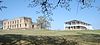
October 15, 1966 Southwest of Nida on State Highway 199
34°06′13″N 96°32′54″W / 34.103611°N 96.548333°WNida 10 Robert E. Lee School September 8, 1988 9th and Louisiana Sts.
33°59′22″N 96°23′09″W / 33.989444°N 96.385833°WDurant 11 Nail's Station June 29, 1972 2 miles southwest of Kenefic Kenefic 12 Oklahoma Presbyterian College December 12, 1976 601 N. 16th St.
34°00′00″N 96°23′35″W / 34.0°N 96.393056°WDurant 13 Roberta School Campus September 8, 1988 Off State Highway 70
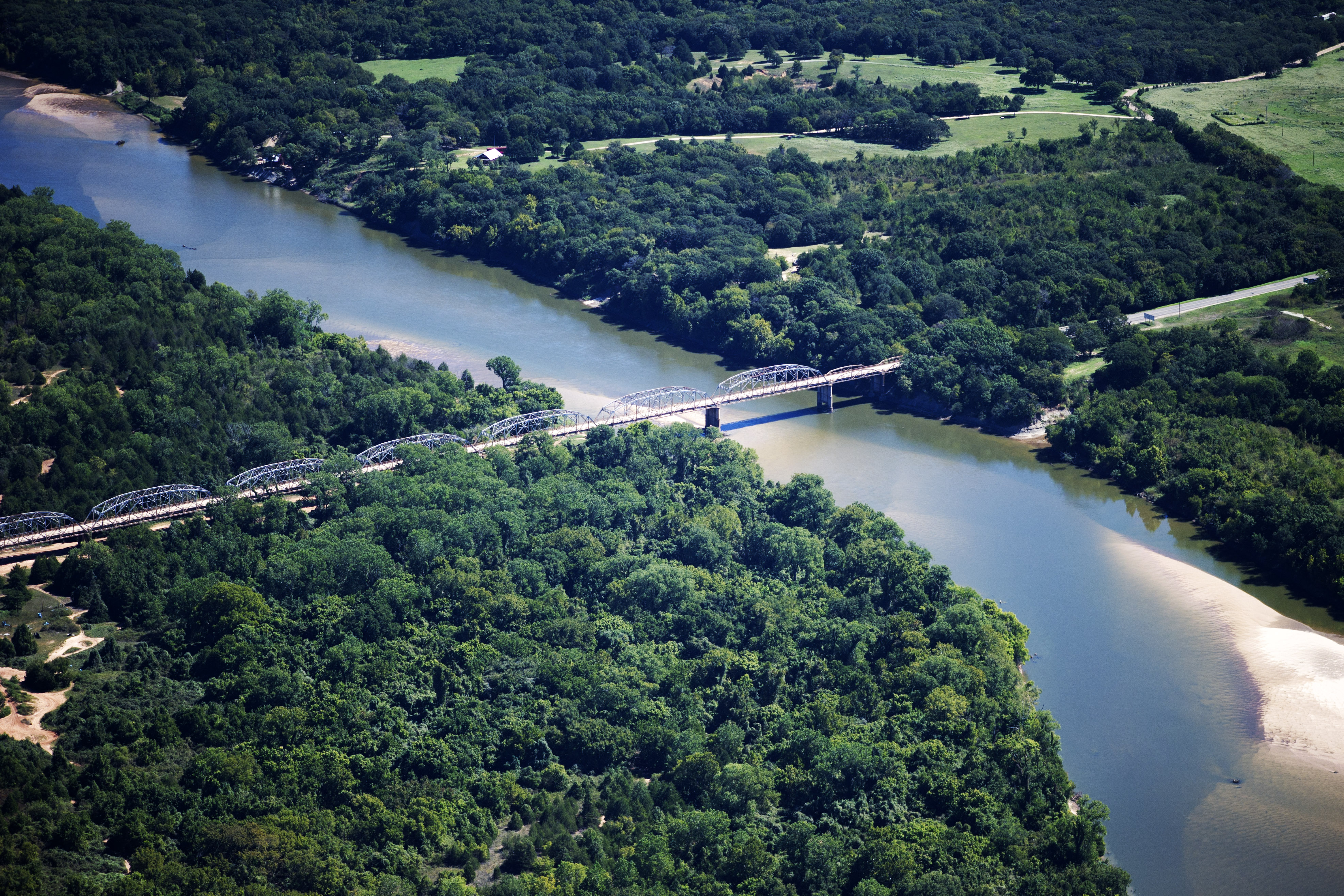
33°55′41″N 96°18′13″W / 33.928056°N 96.303611°WDurant 14 State Highway 78 Bridge at the Red River 
December 20, 1996 State Highway 78, across the Red River at the Oklahoma-Texas state line
33°45′10″N 96°11′45″W / 33.752778°N 96.195833°WKemp Extends into Fannin County, Texas 15 Robert Lee Williams Public Library September 8, 1988 4th and Beech Sts.
33°59′36″N 96°22′44″W / 33.993333°N 96.378889°WDurant 16 J.L. Wilson Building April 20, 1982 202 W. Evergreen St.
33°59′26″N 96°22′48″W / 33.990556°N 96.38°WDurant See also
- List of National Historic Landmarks in Oklahoma
- National Register of Historic Places listings in Oklahoma
References
- ^ The latitude and longitude information provided in this table was derived originally from the National Register Information System, which has been found to be fairly accurate for about 99% of listings. For about 1% of NRIS original coordinates, experience has shown that one or both coordinates are typos or otherwise extremely far off; some corrections may have been made. A more subtle problem causes many locations to be off by up to 150 yards, depending on location in the country: most NRIS coordinates were derived from tracing out latitude and longitudes off of USGS topographical quadrant maps created under North American Datum of 1927, which differs from the current, highly accurate GPS system used by Google maps. Chicago is about right, but NRIS longitudes in Washington are higher by about 4.5 seconds, and are lower by about 2.0 seconds in Maine. Latitudes differ by about 1.0 second in Florida. Some locations in this table may have been corrected to current GPS standards.
- ^ "National Register of Historic Places: Weekly List Actions". National Park Service, United States Department of the Interior. Retrieved on November 10, 2011.
- ^ Numbers represent an ordering by significant words. Various colorings, defined here, differentiate National Historic Landmark sites and National Register of Historic Places Districts from other NRHP buildings, structures, sites or objects.
- ^ "National Register Information System". National Register of Historic Places. National Park Service. . http://nrhp.focus.nps.gov/natreg/docs/All_Data.html.
U.S. National Register of Historic Places Topics Lists by states Alabama • Alaska • Arizona • Arkansas • California • Colorado • Connecticut • Delaware • Florida • Georgia • Hawaii • Idaho • Illinois • Indiana • Iowa • Kansas • Kentucky • Louisiana • Maine • Maryland • Massachusetts • Michigan • Minnesota • Mississippi • Missouri • Montana • Nebraska • Nevada • New Hampshire • New Jersey • New Mexico • New York • North Carolina • North Dakota • Ohio • Oklahoma • Oregon • Pennsylvania • Rhode Island • South Carolina • South Dakota • Tennessee • Texas • Utah • Vermont • Virginia • Washington • West Virginia • Wisconsin • WyomingLists by territories Lists by associated states Other  Category:National Register of Historic Places •
  Portal:National Register of Historic Places
National Register of Historic Places in Bryan County, Oklahoma Achille Bloomfield Academy Site

Bokchito Caddo Caddo Community Building
Colbert Durant Bryan County Courthouse · Durant Downtown Historic District · Robert E. Lee School · Oklahoma Presbyterian College · State Highway No. 78 Bridge at the Red River · Robert Lee Williams Public Library · J. L. Wilson Building · Carriage Point (Fisher's Station) · Roberta School Campus
Kenefic Fort McCulloch · Nail's Station
Nida See also: National Register of Historic Places listings in Bryan County, Oklahoma and List of National Historic Landmarks in Oklahoma Categories:- Bryan County, Oklahoma
- National Register of Historic Places in Oklahoma by county
-

Wikimedia Foundation. 2010.