- Stanford-on-Teme
-
Coordinates: 52°17′25″N 2°26′11″W / 52.290156°N 2.436377°W
Stanford-on-Teme 
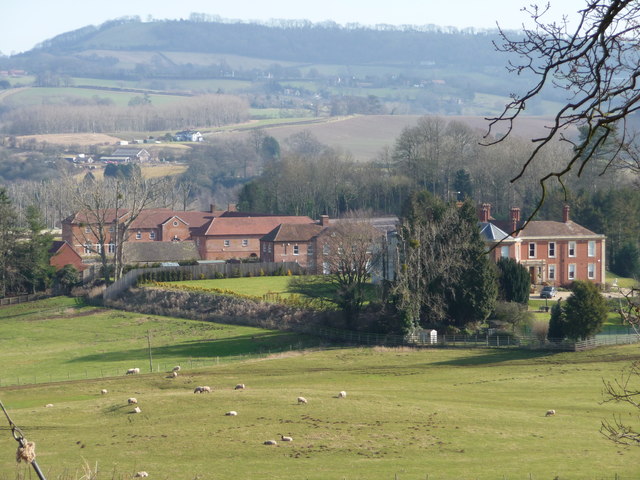
Stanford Court
 Stanford-on-Teme
Stanford-on-Teme shown within WorcestershireOS grid reference SO735658 District Malvern Hills Shire county Worcestershire Region West Midlands Country England Sovereign state United Kingdom Post town WORCESTER Postcode district WR6 Police West Mercia Fire Hereford and Worcester Ambulance West Midlands EU Parliament West Midlands UK Parliament West Worcestershire List of places: UK • England • Worcestershire Stanford-on-Teme is a village and, with the village of Orleton (Worcestershire) just under one mile away, also a civil parish in the Malvern Hills District in the county of Worcestershire, England.
External links
Categories:- Villages in Worcestershire
- Worcestershire geography stubs

Wikimedia Foundation. 2010.