- Don Pedro Island State Park
-
Don Pedro Island State Recreation Area IUCN Category Ib (Wilderness Area)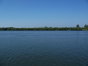
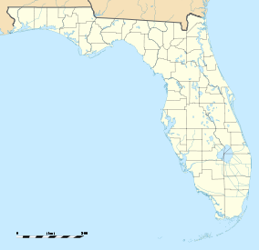

Location Charlotte County, Florida, USA Nearest city Boca Grande, Florida Coordinates 26°52′16″N 82°19′16″W / 26.87111°N 82.32111°WCoordinates: 26°52′16″N 82°19′16″W / 26.87111°N 82.32111°W Established 1985 Governing body Florida Department of Environmental Protection Don Pedro Island State Recreation Area is a State Park in the U.S. state of Florida. It is located on a stretch of Don Pedro Island, a 129-acre (0.52 km2) barrier island lying across the Intracoastal Waterway from Cape Haze in Charlotte County, between Knight Island and Little Gasparilla Island. The park has mangrove forests, dunes and white beaches. Activities include swimming, sunbathing, shelling and viewing nature. Among the wildlife of the park are Loggerhead turtles. Amenities include beaches, docks, and picnic areas as well as guided nature talks and walks. The park is only accessible by boat and is open from 8:00 am till sundown year round.
Gallery
References
 Media related to Don Pedro Island State Park at Wikimedia Commons
- Don Pedro Island State Park at Florida State Parks
- Don Pedro Island State Recreation Area at Absolutely Florida
- Don Pedro Island State Recreation Area at Wildernet
Categories:- IUCN Category Ib
- Florida state parks
- Parks in Charlotte County, Florida
- Beaches of Florida
- Protected areas established in 1985
- Florida state park stubs
-


Wikimedia Foundation. 2010.