Octoraro Creek — is a 22.1 mile long (35.6 km)[1] tributary of the Susquehanna River, joining it 9 miles (14 km) above the Susquehanna s mouth at Chesapeake Bay. The Octoraro rises as an East and West Branch in Pennsylvania. The East Branch and Octoraro … Wikipedia
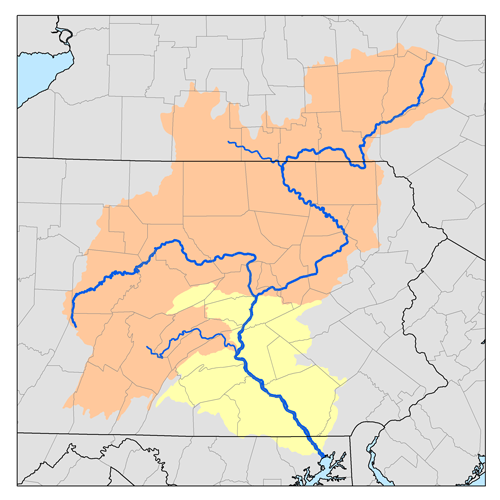
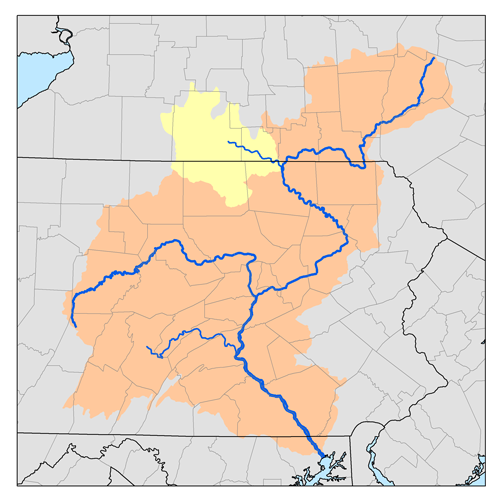
Muncy Creek — Map of the West Branch Susquehanna River (dark blue) and major streams in Lycoming County, Pennsylvania. Muncy Creek (light blue) is the fifth major creek to enter the river in the county, south of Loyalsock Creek (green). Little Muncy Creek is… … Wikipedia
Yellow Breeches Creek — Fishing in the Boiling Springs Lake tributary to the Yellow Breeches Creek in Boiling Springs Yellow Breeches Creek,[1] also known as Minnimingo Creek,[citat … Wikipedia
Chiques Creek — Kauffman s Distillery Covered Bridge spans Chiques Creek in Lancaster County, Pennsylvania Origin Mount Gretna Heights, Pennsylvania … Wikipedia
Conewago Creek (east) — For the Conewago Creek in Adams and York Counties, on the west bank of the Susquehanna River, see Conewago Creek (west). Conewago Creek Origin Mount Gretna Heights, Pennsylvania Mouth Susquehanna River at Falmouth, Pennsylvania Basin countries… … Wikipedia
Conewago Creek (west) — For the Conewago Creek in Lebanon, Dauphin, and Lancaster Counties, on the east bank of the Susquehanna River, see Conewago Creek (east). Conewago Creek Origin Franklin Township, Adams County, Pennsylvania Mouth Susquehanna River at York Haven,… … Wikipedia
Chillisquaque Creek — Coordinates: 40°55′59″N 76°51′38″W / 40.93306°N 76.86056°W / 40.93306; 76.86056 … Wikipedia
Codorus Creek — is a 42.4 mile long (68.2 km)[1] tributary of the Susquehanna River in York County, Pennsylvania in the United States. Contents 1 Course 2 South Branch Codorus Creek … Wikipedia
Nescopeck Creek — is a 37.5 mile long (60.4 km)[1] tributary of the Susquehanna River in Luzerne County, Pennsylvania, in the United States. The creek rises in the saddle between Mount Yeager and Pine Mountain in Dennison Township, Pennsylvania, flowing into… … Wikipedia
Cocalico Creek — Bucher s Mill Covered Bridge spans Cocalico Creek in Lancaster County, Pennsylvania Origin Stricklerstown, Pennsylvania … Wikipedia