- Chillisquaque Creek
-
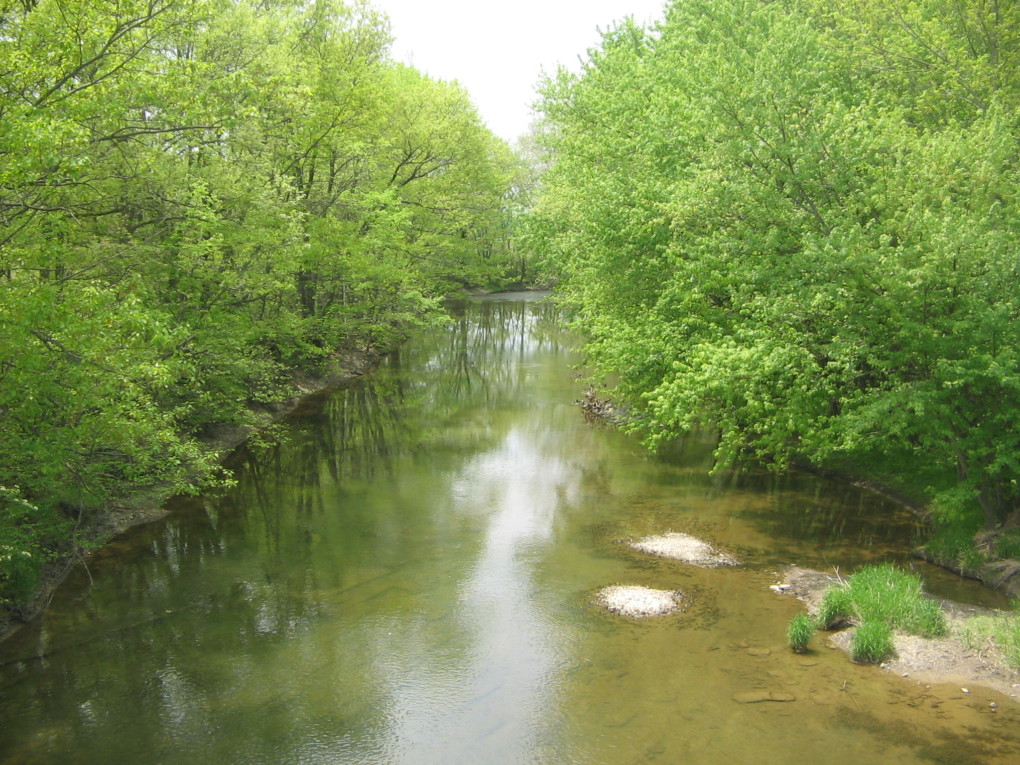
Chillisquaque Creek River  Chillisquaque Creek from Interstate 80 in Liberty Township, Montour County, Pennsylvania
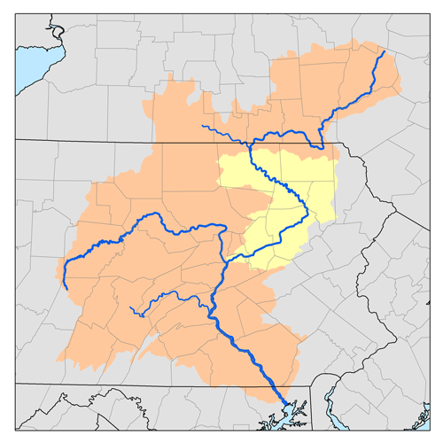
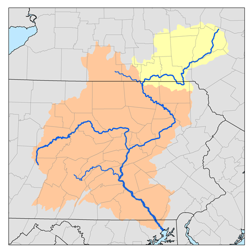
Country United States State Pennsylvania Districts Columbia, Montour and, Nortumberland counties Source East Branch Chillisquaque Creek [1] - location Near Pine Summit, Madison Township, Columbia County, Pennsylvania - elevation 1,400 ft (427 m) [2] - coordinates 41°08′39″N 76°36′12″W / 41.14417°N 76.60333°W [3] Mouth West Branch Susquehanna River [4] - location Chillisquaque, West Chillisquaque Township, Northumberland County, Pennsylvania - elevation 428 ft (130 m) [2] - coordinates 40°55′59″N 76°51′38″W / 40.93306°N 76.86056°W [5] Length 20.2 mi (33 km) [6] Basin 112 sq mi (290.1 km2) [7] Chillisquaque Creek is a 20.2-mile-long (32.5 km)[6] tributary of the West Branch Susquehanna River in Columbia, Montour and Northumberland counties, Pennsylvania in the United States.
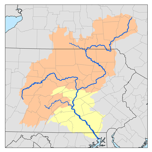
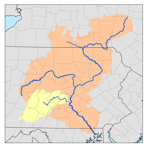
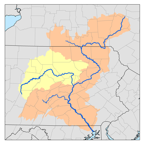
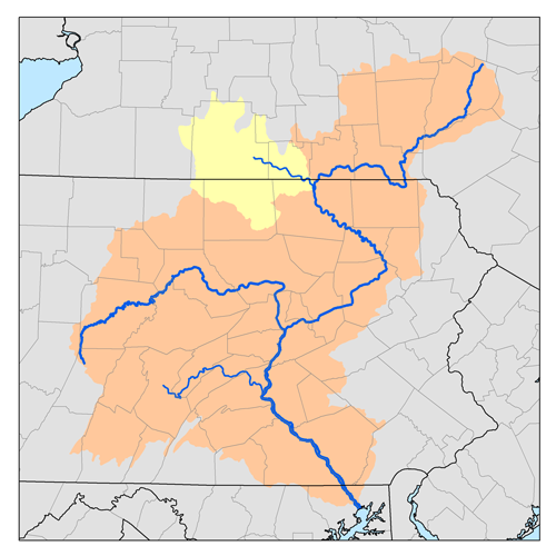
A part of the Chesapeake Bay drainage basin, the Chillisquaque Creek watershed drains parts of four counties (the three mentioned and Lycoming County). The creek flows southwest in a valley of the Ridge-and-valley Appalachians, through sandstone, shale, and limestone.
As of 2000, the creek and its 112 square miles (290 km2) watershed are rural, with 67.9% of the watershed given to agriculture and 29.5% covered by forest and a population of 6,620.
Contents
Name
According to Donehoo, "Chillisquaque" is a corruption of the Shawnee name Chililisuagi, meaning "place of the snow birds". There was a Shawnee village near the mouth of the creek from about 1728, and it is mentioned in the journals of several early colonial visitors to the area. It is Shallyschohking in the earliest record of the creek and village, a 1732 petition from the Shawnee to the Province of Pennsylvania government. In 1737 Conrad Weiser wrote it as Zilly-squachne as he crossed the creek and traveled through the village on his way north to the Iroquois capital Onondaga. In 1754 it was Chelisquaqua, and Scull's map of 1759 has Chillisquaquy. By 1770 (when the first white settlers arrived) another Scull map has the current name.[8] All these are variations of "Chalakatha", one of the five Shawnee tribal bands and the name of the village where that band resided, usually rendered in English as "Chillicothe".[9]
The name "Chillisquaque Creek" is unique in the USGS Geographic Names Information System and on its maps of the United States.[3] Today the creek has given its name to East Chillisquaque and West Chillisquaque townships, as well as the unincorporated hamlet of Chillisquaque in the latter township, all in Northumberland County. The creek's major tributaries include the County Line Branch Chillisquaque Creek, as well as the East, Middle, and West Branches.[4]
Course
As the crow flies, Northumberland County is 105 miles (169 km) northwest of Philadelphia and 170 miles (274 km) east-northeast of Pittsburgh.
See also
- List of Pennsylvania rivers
References
- ^ Pennsylvania Department of Transportation, Bureau of Planning and Research, Geographic Information Division. "2007 General Highway Map Columbia County Pennsylvania". ftp://ftp.dot.state.pa.us/public/pdf/BPR_pdf_files/Maps/GHS/Roadnames/columbia_GHSN.PDF. Retrieved 2007-06-01.
- ^ a b Shaw, Lewis C.. Pennsylvania Gazetteer of Streams Part II (Water Resources Bulletin No. 16). Prepared in Cooperation with the United States Department of the Interior Geological Survey (1st Edition ed.). Harrisburg, PA: Commonwealth of Pennsylvania, Department of Environmental Resources (no ISBN).
- ^ a b Geographic Names Information System, United States Geological Survey (August 2, 1979). "Geographic Names Information System Feature Detail Report: East Branch Chillisquaque Creek". http://geonames.usgs.gov/pls/gnispublic/f?p=gnispq:3:::NO::P3_FID:1173737. Retrieved 2007-06-01.
- ^ a b Pennsylvania Department of Transportation, Bureau of Planning and Research, Geographic Information Division. "2007 General Highway Map Montour County and Northumberland County Pennsylvania". ftp://ftp.dot.state.pa.us/public/pdf/BPR_pdf_files/Maps/GHS/Roadnames/northumberland_montour_GHSN.pdf. Retrieved 2007-06-01.
- ^ Geographic Names Information System, United States Geological Survey (August 2, 1979). "Geographic Names Information System Feature Detail Report: Chillisquaque Creek". http://geonames.usgs.gov/pls/gnispublic/f?p=gnispq:3:::NO::P3_FID:1171784. Retrieved 2007-06-01.
- ^ a b U.S. Geological Survey. National Hydrography Dataset high-resolution flowline data. The National Map, accessed August 8, 2011
- ^ "Chesapeake Bay Program: Watershed Profiles: The Chillisquaque Creek At Chillisquaque Creek Watershed". Chesapeake Bay Program Office, 10 Severn Avenue, Suite 109, Annapolis, MD 21403. http://www.chesapeakebay.net/wspv31/(eqe1lcjftytn53nb3d0tzfnh)/WspAbout.aspx?basno=197&topic=5. Retrieved 2007-06-01.
- ^ Donehoo, Dr. George P. (1999) [1928] (PDF). A History of the Indian Villages and Place Names in Pennsylvania (Second Reprint Edition ed.). Lewisburg, Pennsylvania: Wennawoods Publishing. p. 290. ISBN 1-889037-11-7. http://www.srbc.net/docs/IndianNamesDataChart.PDF. Retrieved 2006-11-09. "ISBN refers to a 1999 reprint edition, URL is for the Susquehanna River Basin Commission's web page of Native American Place names, quoting and citing the book"
- ^ For "Chillisquaque" being a variation of "Chillicothe", see for example Michael N. McConnell, A Country Between: The Upper Ohio Valley and Its Peoples, 1724-1774 (Lincoln, Nebraska: University of Nebraska Press, 1992), p. 14.
External links
Categories:- Rivers of Pennsylvania
- Tributaries of the West Branch Susquehanna River
- Geography of Columbia County, Pennsylvania
- Geography of Montour County, Pennsylvania
- Geography of Northumberland County, Pennsylvania
Wikimedia Foundation. 2010.