- Moncove Lake State Park
-
Moncove Lake State Park West Virginia State Park  Moncove Lake
Country United States State West Virginia County Monroe Elevation 2,582 ft (787 m) Coordinates 37°37′11″N 80°21′12″W / 37.61972°N 80.35333°W Area 896 acres (362.6 ha) [1] Established 1990 Owner West Virginia Division of Natural Resources Nearest city Union, West Virginia 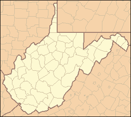
 Location of Moncove Lake State Park in West Virginia
Website: Moncove Lake State Park Moncove Lake State Park was created in 1990 by setting aside 250 acres (1.0 km2) of the Moncove Lake Wildlife Management Area[2] to be operated as a state park. (The park has since been expanded to 896 acres (3.63 km2).[1]) The park is located near Union in Monroe County, West Virginia. The park sits on the shores of 144-acre (0.58 km2) Moncove Lake, and underneath the flyway of the fall eastern hawk migration.
Power boats on Moncove Lake are limited to 5 horsepower (3.7 kW).
Contents
Features
- Moncove Lake
- 48 camp sites (25 with electrical hookup)
- Outdoor swimming pool
- Picnic area
- Hunting (in nearby Wildlife Management Area)
- Fishing
- Boating
- Hiking
- Bird watching
Accessibility
Accessibility for the disabled was assessed by West Virginia University. The assessment found the campground, picnic area, lake fishing and swimming pool to be accessible.[3] The 2005 assessment found issues with certain handrails.
See also
References
External links
Categories:- West Virginia state parks
- Protected areas of Monroe County, West Virginia
- Protected areas established in 1990


Wikimedia Foundation. 2010.