- Normandykes
-
 Site of Normandykes Roman marching camp
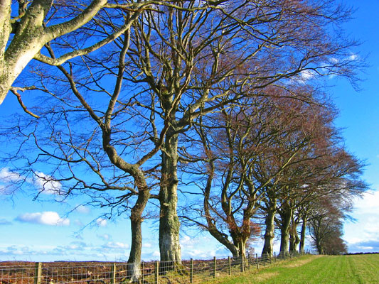
Normandykes (Grid Reference: NO 830994)[1] is the site of a Roman marching camp 1 mile (1.6 km) to the southwest of Peterculter, Aberdeenshire, Scotland.[2][3] The near-rectangular site, measuring approximately 860 by 510 metres (940 by 560 yd), covers about 106 acres (43 ha) of the summit and eastern slopes of a hill overlooking the River Dee and the B9077 road further south.[4] Aerial photographs for Normandykes have been archived between 1947 and 1976.[5] The camp is about 6 miles (10 km), or less than half a day's march, north of the Raedykes camp. It is possible that the actual route taken would have entailed one day's march, over a route likely chosen to avoid the Red Moss, a virtually uncrossable bog near the present day village of Netherley. Normandykes was first excavated in the year 1935 by Richmond and MacIntyre;[6] construction is thought to date to the Antonine or Severan periods.
See also
References
- ^ Landranger 45, Stonehaven and Banchory, 1:50000 (2004); Explorer 406 Aberdeen and Banchory, 1:25000, United Kingdom Ordnance Survey Map
- ^ Temporary Marching Camp: Normandykes, Peterculter, Grampian (2004)
- ^ St. Joseph, J.K., Air Reconnaissance of North Britain, J.R.S. xli (1951) p. 65
- ^ Crawford, O.G.S.Topography of Roman Scotland North of the Antonine Wall, Cambridge, England pp. 110-2 (1949)
- ^ RCAHMS Site Record for Normandykes Hilton; Oldtown; Peterculter Photographs (2004)
- ^ RCAHMS Archaeology Notes: Normandykes (2003)
Settlements and places of interest in Kincardine and Mearns, Aberdeenshire Primary settlements Auchenblae · Drumoak · Fettercairn · Gourdon · Inverbervie · Johnshaven · Laurencekirk · Newtonhill · Portlethen · St Cyrus · Stonehaven
Other settlements Arbuthnott · Banchory-Devenick · Bridge of Muchalls · Cammachmore · Catterline · Cookney · Downies · Drumlithie · Findon · Fordoun · Glenbervie · Kinneff · Kirkton of Durris · Maryculter · Marykirk · Muchalls · Netherley · Portlethen Village
Places of interest Causey Mounth · Crawton · Drum Castle · Dunnottar Castle · Fetteresso Castle · Fowlsheugh Nature Reserve (Craiglethy) · Monboddo House · Muchalls Castle · Normandykes · Portlethen Moss · Raedykes · Stonehaven Open Air Pool · Stonehaven Tolbooth
Coordinates: 57°05′06″N 2°16′59″W / 57.085°N 2.283°W

This Ancient Rome-related article is a stub. You can help Wikipedia by expanding it.