National Register of Historic Places listings in St. Lucie County, Florida
- National Register of Historic Places listings in St. Lucie County, Florida
-

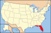
Location of St. Lucie County in Florida
This is a list of the National Register of Historic Places listings in St. Lucie County, Florida.
This is intended to be a complete list of the properties and districts on the National Register of Historic Places in St. Lucie County, Florida, United States. The locations of National Register properties and districts for which the latitude and longitude coordinates are included below, may be seen in a Google map.[1]
There are 16 properties and districts listed on the National Register in the county, including 1 National Historic Landmark.
-
- This National Park Service list is complete through NPS recent listings posted November 10, 2011.[2]
Current listings
| [3] |
Landmark name [4] |
Image |
Date listed |
Location |
City or town |
Summary |
| 1 |
Arcade Building |
|
02001-10-12October 12, 2001 |
101 U.S. Route 1, North
27°26′49″N 80°19′37″W / 27.446944°N 80.326944°W / 27.446944; -80.326944 (Arcade Building) |
Fort Pierce |
|
| 2 |
Casa Caprona |
|
01984-06-02June 2, 1984 |
2605 St. Lucie Boulevard
27°28′59″N 80°21′06″W / 27.483056°N 80.351667°W / 27.483056; -80.351667 (Casa Caprona) |
Fort Pierce |
|
| 3 |
Cresthaven |
|
01985-04-11April 11, 1985 |
239 South Indian River Drive
27°26′44″N 80°19′25″W / 27.445556°N 80.323611°W / 27.445556; -80.323611 (Cresthaven) |
Fort Pierce |
|
| 4 |
Fort Pierce Old Post Office |
|
02002-02-11February 11, 2002 |
500 Orange Avenue
27°26′49″N 80°19′39″W / 27.446944°N 80.3275°W / 27.446944; -80.3275 (Fort Pierce Old Post Office) |
Fort Pierce |
|
| 5 |
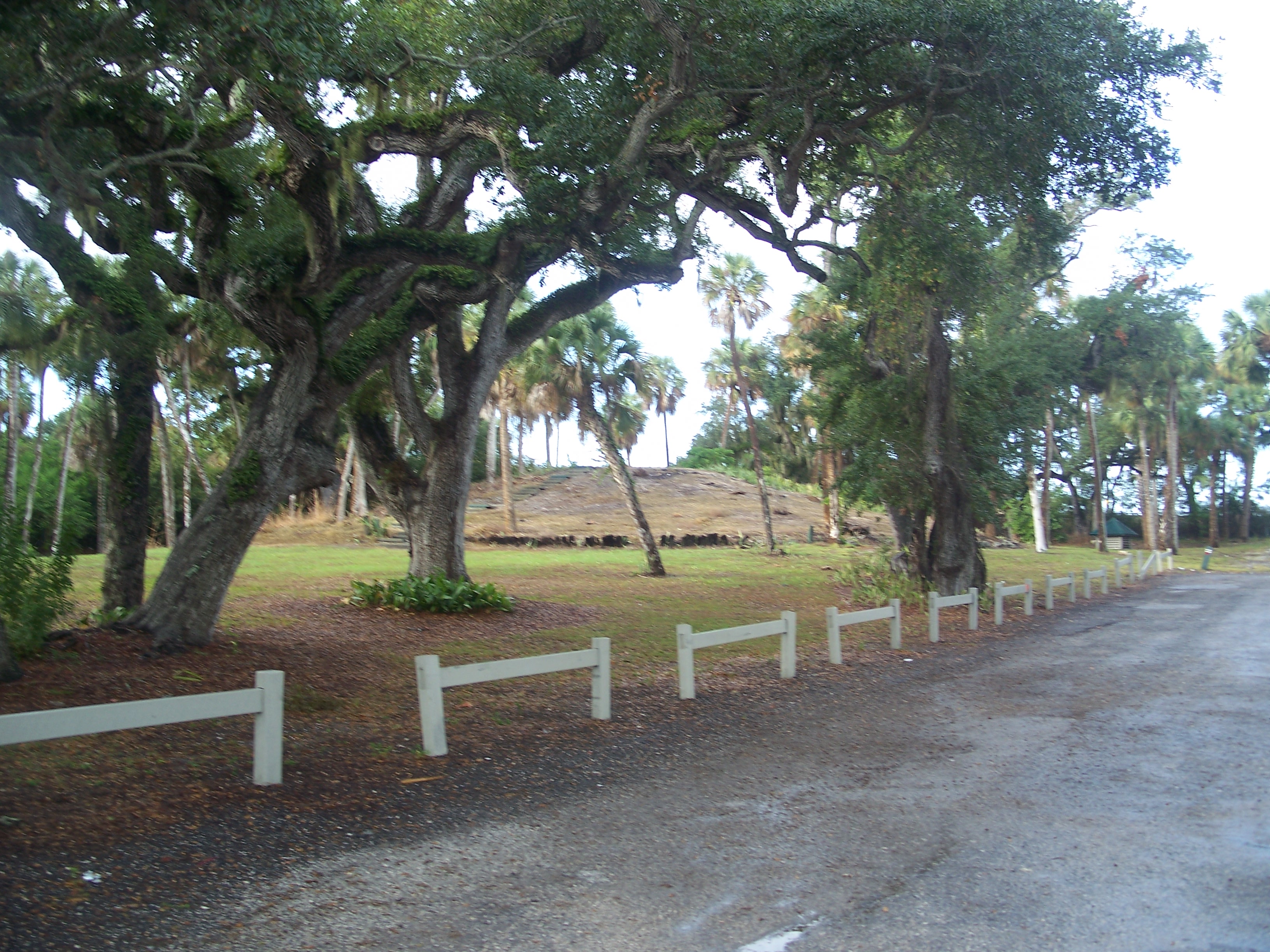
Fort Pierce Site |
|
01974-01-11January 11, 1974 |
South Indian River Drive
27°26′11″N 80°19′14″W / 27.436389°N 80.320556°W / 27.436389; -80.320556 (Fort Pierce Site) |
Fort Pierce |
|
| 6 |
Jules Frere House |
|
01995-04-20April 20, 1995 |
2404 Sunrise Boulevard
27°25′27″N 80°20′06″W / 27.424167°N 80.335°W / 27.424167; -80.335 (Jules Frere House) |
Fort Pierce |
|
| 7 |
Captain Hammond House |
|
01990-02-23February 23, 1990 |
5775 Citrus Avenue
27°21′49″N 80°20′34″W / 27.363611°N 80.342778°W / 27.363611; -80.342778 (Captain Hammond House) |
White City |
|
| 8 |
Zora Neale Hurston House |
|
01991-12-04December 4, 1991 |
1734 School Court
27°27′38″N 80°20′37″W / 27.460556°N 80.343611°W / 27.460556; -80.343611 (Zora Neale Hurston House) |
Fort Pierce |
|
| 9 |
Immokolee |
|
01994-07-29July 29, 1994 |
8431 Immokolee Road
27°28′53″N 80°24′35″W / 27.481389°N 80.409722°W / 27.481389; -80.409722 (Immokolee) |
Fort Pierce |
|
| 10 |
Moores Creek Bridge |
|
02001-08-17August 17, 2001 |
North 2nd Street between Avenues B and C
27°27′02″N 80°19′32″W / 27.450556°N 80.325556°W / 27.450556; -80.325556 (Moores Creek Bridge) |
Fort Pierce |
|
| 11 |
Old Fort Pierce City Hall |
|
02001-12-07December 7, 2001 |
315 Avenue A
27°26′52″N 80°19′35″W / 27.447778°N 80.326389°W / 27.447778; -80.326389 (Old Fort Pierce City Hall) |
Fort Pierce |
|
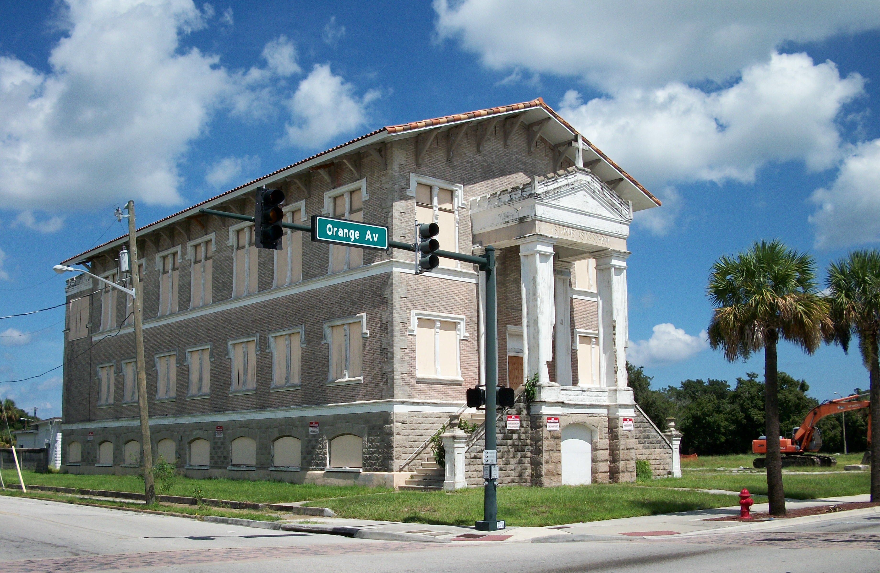
| 12 |
Old St. Anastasia Catholic School |
|
02000-08-10August 10, 2000 |
910 Orange Avenue
27°26′49″N 80°19′59″W / 27.446944°N 80.333056°W / 27.446944; -80.333056 (Old St. Anastasia Catholic School) |
Fort Pierce |
|
| 13 |
St. Lucie High School |
|
01984-01-26January 26, 1984 |
1100 Delaware Avenue
27°26′36″N 80°20′01″W / 27.443333°N 80.333611°W / 27.443333; -80.333611 (St. Lucie High School) |
Fort Pierce |
|
| 14 |
St. Lucie Village Historic District |
|
01989-12-01December 1, 1989 |
2505-3305 North Indian River Drive
27°29′17″N 80°20′10″W / 27.488056°N 80.336111°W / 27.488056; -80.336111 (St. Lucie Village Historic District) |
St. Lucie Village |
|
| 15 |
Sunrise Theatre |
|
02001-12-07December 7, 2001 |
117 South 2nd Street
27°26′46″N 80°19′26″W / 27.446111°N 80.323889°W / 27.446111; -80.323889 (Sunrise Theatre) |
Fort Pierce |
|
| 16 |
URCA DE LIMA (shipwreck) |
|
02001-05-31May 31, 2001 |
200 yards offshore of Jack Island Park, north of Ft. Pierce Inlet
27°30′11″N 80°17′54″W / 27.503056°N 80.298333°W / 27.503056; -80.298333 (URCA DE LIMA (shipwreck)) |
Fort Pierce |
|
See also
References
- ^ The latitude and longitude information provided in this table was derived originally from the National Register Information System, which has been found to be fairly accurate for about 99% of listings. For about 1% of NRIS original coordinates, experience has shown that one or both coordinates are typos or otherwise extremely far off; some corrections may have been made. A more subtle problem causes many locations to be off by up to 150 yards, depending on location in the country: most NRIS coordinates were derived from tracing out latitude and longitudes off of USGS topographical quadrant maps created under the North American Datum of 1927, which differs from the current, highly accurate WGS84 GPS system used by Google maps. Chicago is about right, but NRIS longitudes in Washington are higher by about 4.5 seconds, and are lower by about 2.0 seconds in Maine. Latitudes differ by about 1.0 second in Florida. Some locations in this table may have been corrected to current GPS standards.
- ^ "National Register of Historic Places: Weekly List Actions". National Park Service, United States Department of the Interior. Retrieved on November 10, 2011.
- ^ Numbers represent an ordering by significant words. Various colorings, defined here, differentiate National Historic Landmark sites and National Register of Historic Places Districts from other NRHP buildings, structures, sites or objects.
- ^ "National Register Information System". National Register of Historic Places. National Park Service. . http://nrhp.focus.nps.gov/natreg/docs/All_Data.html.
Categories:
- National Register of Historic Places in St. Lucie County, Florida
- National Register of Historic Places in Florida by county
Wikimedia Foundation.
2010.
Look at other dictionaries:
National Register of Historic Places listings in Palm Beach County, Florida — Location of Palm Beach County in Florida This is a list of the National Register of Historic Places listings in Palm Beach County, Florida. This is intended to be a complete list of the properties and districts on the National Register of… … Wikipedia
National Register of Historic Places listings in St. Johns County, Florida — Location of St. Johns County in Florida This is a list of the National Register of Historic Places listings in St. Johns County, Florida. This is intended to be a complete list of the properties and districts on the National Register of Historic… … Wikipedia
National Register of Historic Places listings in Indian River County, Florida — Location of Indian River County in Florida This is a list of the National Register of Historic Places listings in Indian River County, Florida. This is intended to be a complete list of the properties and districts on the National Register of… … Wikipedia
National Register of Historic Places listings in Miami-Dade County, Florida — Location of Miami Dade County in Florida This is a list of the National Register of Historic Places listings in Miami Dade County, Florida. This is intended to be a complete list of the properties and districts on the National Register of… … Wikipedia
National Register of Historic Places listings in Santa Rosa County, Florida — Location of Santa Rosa County in Florida This is a list of the National Register of Historic Places listings in Santa Rosa County, Florida. This is intended to be a complete list of the properties and districts on the National Register of… … Wikipedia
National Register of Historic Places listings in Florida — … Wikipedia
National Register of Historic Places listings in Alachua County, Florida — Location of Alachua County in Florida This is a list of the National Register of Historic Places listings in Alachua County, Florida. This is intended to be a complete list of the properties and districts on the National Register of Historic… … Wikipedia
National Register of Historic Places listings in Leon County, Florida — Location of Leon County in Florida This is a list of the National Register of Historic Places listings in Leon County, Florida. This is intended to be a complete list of the properties and districts on the National Register of Historic Places in… … Wikipedia
National Register of Historic Places listings in Polk County, Florida — Location of Polk County in Florida This is a list of the National Register of Historic Places listings in Polk County, Florida. This is intended to be a complete list of the properties and districts on the National Register of Historic Places in… … Wikipedia
National Register of Historic Places listings in Volusia County, Florida — Location of Volusia County in Florida This is a list of the National Register of Historic Places listings in Volusia County, Florida. This is intended to be a complete list of the properties and districts on the National Register of Historic… … Wikipedia