- Mandya district
-
This article is about the district. For its eponymous headquarters, see Mandya. For the city, see Mandya.
Mandya district
ಮಂಡ್ಯ ಜಿಲ್ಲೆ
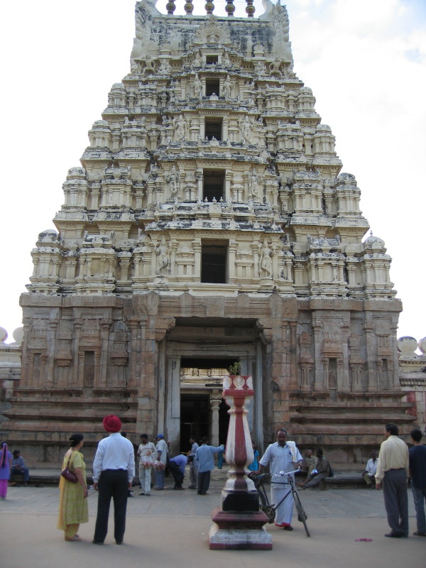
— district — Ranganatha Temple in Srirangapatna, Mandya district
Coordinates 12°31′N 76°54′E / 12.52°N 76.9°ECoordinates: 12°31′N 76°54′E / 12.52°N 76.9°E Country India Region Bayaluseeme State Karnataka Division Mysore Division Subdistrict(s) Mandya, Malavalli, Maddur, Nagamangala, Krishnarajpet, Pandavapura, Srirangapatna Established 1 July 1939[1] Headquarters Mandya Deputy Commissioner Dr. PC Jaffer IAS Parliamentary constituency Mandya Lok Sabha constituency Population
1,761,718[2] (2001[update])
• 355 /km2 (919 /sq mi)
• 16.03Sex ratio 1.015 ♂/♀ Literacy
• Male
• Female61.21%
• 70.71%
• 51.62%Official languages Kannada Time zone IST (UTC+05:30) Area 4,961 square kilometres (1,915 sq mi)[3] Climate
• Precipitation
Temperature
• Summer
• WinterTropical Semi-arid (Köppen)
• 691 mm (27.2 in)
• 35 °C (95 °F)
• 16 °C (61 °F)Codes-
• Vehicle • KA-11
ISO 3166-2 IN-KA-MA  Portal: Karnataka
 Website mandya.nic.in Mandya District (Kannada: ಮಂಡ್ಯ ಜಿಲ್ಲೆ) is an administrative district of Karnataka, India. Mandya District borders on the south by Mysore District, on the west by Hassan District, on the north by Tumkur District and on the east by Ramanagara district. The district was formed in the year 1939.
The main town is in Mandya District is Mandya. As of 2001, the district population was 1,763,705 of which 16.03% was urban.[4]
Contents
Etymology
Mandya district gets its name from the city of Mandya which is also the headquarters of the district.
Geography
Mandya district is located between north latitude 12°13' to 13°04' N and east longitude 76°19' to 77°20' E.[5] It is bounded by Tumkur district to the northeast, Ramanagara district to the east, Chamrajnagar district to the south, Mysore district to the west and southwest, and Hassan district to the northwest. It has an area of 4,961 square kilometres (1,915 sq mi). The administrative center of Mandya District is Mandya City.
Rivers
Mandya District has five important rivers: Kaveri River and four tributaries Hemavathi, Shimsha, Lokapavani, Veeravaishnavi.[6]
Administrative divisions
Mandya district consists of 7 taluks grouped under 2 subdivisions. The Mandya subdivision comprises Mandya, Maddur and Malavalli taluks and the Pandavapura subdivision comprises Pandavapura, Srirangapatna, Nagamangala and Krishnarajpet Taluks.[5]
Economy
The Economy of Mandya district is based on Agriculture. The main crops grown are Paddy, Sugarcane, Jowar, Maize, Cotton, Banana, Ragi, Coconut, Pulses (predominantly horse gram and to some extent tur, cowpea, green gram, black gram, avare), Vegetables etc.[5]
Transport
Roads
Mandya district has an extenstive road network. NH 48 and NH 209 passes through the district. The road network in the district includes 73 kilometres (45 mi) of National Highways, 467 kilometres (290 mi) of State Highways and 2,968 kilometres (1,844 mi) of Major district roads.[7]
Railways
Mandya belongs to "South Western Railways" of "Indian Railways". Mandya has many railway stations which are listed below:[8]
Demographics
According to the 2011 census Mandya district has a population of 1,808,680,[9] roughly equal to the nation of The Gambia[10] or the US state of Nebraska.[11] This gives it a ranking of 263rd in India (out of a total of 640).[9] The district has a population density of 365 inhabitants per square kilometre (950 /sq mi) .[9] Its population growth rate over the decade 2001-2011 was 2.55 %.[9] Mandya has a sex ratio of 989 females for every 1000 males,[9] and a literacy rate of 70.14 %.[9]
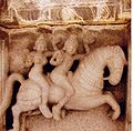
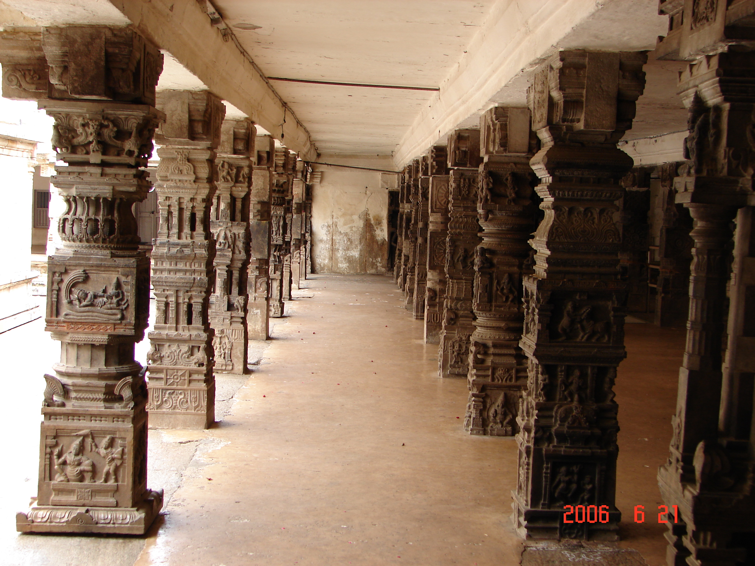
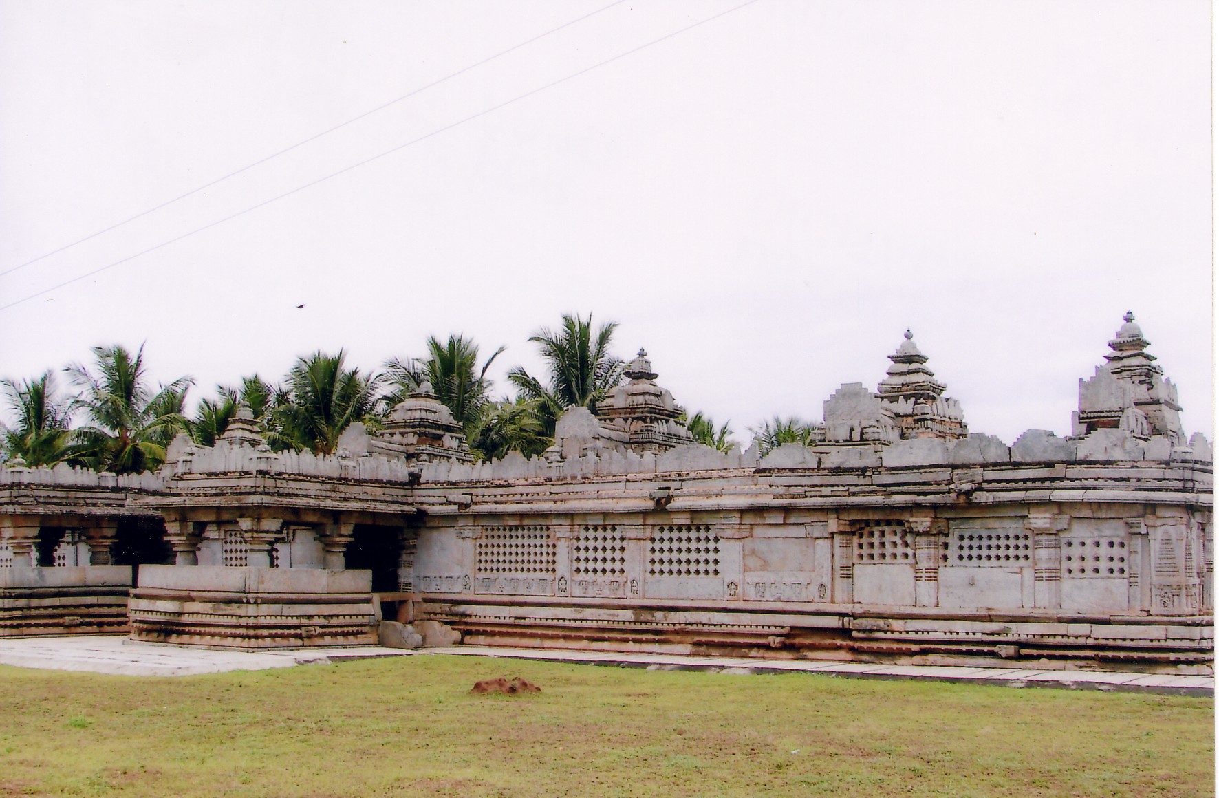
Gallery
-
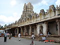
Cheluvnarayanaswami temple, Melkote, Karnataka
-
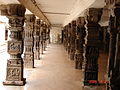
Mantapa, Cheluvanarayanaswami temple, Melkote, Karnataka
-

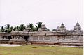
Lakshminarayana Temple,Hosaholalu, Mandya District, Karnataka
-
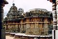
Panchalingeshwara temple, Govindanahalli, Mandya District, Karnataka
-
Mallikarjuna temple, Basaralu, Mandya District, Karnataka
-
Panchakuta Basadi, Kambadahalli, Mandya District, Karnataka
-
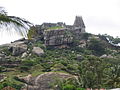
View of Lord Narasimha Swamy Temple, Melkote, Mandya District, Karnataka
Notable people
- Ambarish - Popular Kannada film Star, and a Member of Parliament.
- S M Krishna -The Minister for External Affairs, Govt of India. Former chief minister of Karnataka state & former Governor of Maharastra state.
- A N Murthy Rao - Author and translator.
- Nagathihalli Chandrashekhar - Kannada film director.
- M.K.Kempasiddiaha-Founde of Ananda & social education trust
- Divya Spandana - Popular South Indian film actress.
- M.N.Singaramma Dr. - Writer of Philosophical Books in Kannada and Hindi
- Sridhar Rangayan - Filmmaker - Director / Writer of internationally acclaimed films
- B. S. Yeddyurappa - Current Chief minister of Karnataka. He was born in Bukinkere village in the district. The B in his name stands for Bukinkere.
- Madegowda- farmer MP and Protester
References
- ^ "District Profile". Department of State Education Research and Training. http://dsert.kar.nic.in/dietwebsite/Mandya/DistrictProfile.htm. Retrieved 6 January 2011.
- ^ "District Statistics". Official Website of Mandya district. http://mandya.nic.in/statistics.htm. Retrieved 6 January 2011.
- ^ "Know India - Karnataka". Government of India. http://india.gov.in/knowindia/districts/andhra1.php?stateid=KA. Retrieved 6 January 2011.
- ^ India Census Map
- ^ a b c "Ground Water Information Booklet". Central Ground Water Board. http://cgwb.gov.in/District_Profile/karnataka/Mandya_brouchere.pdf. Retrieved 7 January 2011.
- ^ "Mandya District at a glance". Mandya City Council. http://www.mandyacity.gov.in/tourism.html. Retrieved 2006-11-10.
- ^ "District wise details of Road length in Karnataka". Karnataka Public Works Department. http://www.kpwd.gov.in/roads.asp. Retrieved 9 January 2011.
- ^ http://www.southwesternrailway.in/swr/bng_med_facility.jsp
- ^ a b c d e f "District Census 2011". Census2011.co.in. 2011. http://www.census2011.co.in/district.php. Retrieved 2011-09-30.
- ^ US Directorate of Intelligence. "Country Comparison:Population". https://www.cia.gov/library/publications/the-world-factbook/rankorder/2119rank.html. Retrieved 2011-10-01. "Gambia, The 1,797,860 July 2011 est."
- ^ "2010 Resident Population Data". U. S. Census Bureau. http://2010.census.gov/2010census/data/apportionment-pop-text.php. Retrieved 2011-09-30. "Nebraska 1,826,341"
External links
- Official website of Mandya district
- Map of Mandya District
- Mandya District profile
- Mandya City Council -Mandya District at a glance

Hassan district Tumkur district 
Ramanagara district  Mandya district

Mysore district Chamrajnagar district  Districts of Karnataka
Bangalore Division Bangalore Urban · Bangalore Rural · Chitradurga · Davanagere · Kolar · Shimoga · Tumkur . Ramanagara. ChikkaballapurBelgaum Division Gulbarga Division Mysore Division Categories: -


Wikimedia Foundation. 2010.