- County Route 527 (New Jersey)
-
County Route 527

Route information Length: 84.86 mi[1] (136.57 km) Existed: By 1954 (by 1947 as County Route 3R11) – present Major junctions South end: 
 Route 166 / CR 549 in Toms River
 US 9 / G.S. Pkwy. in Toms River
 I-195 in Jackson Township
 Route 18 in East Brunswick Township
 I-287 in Franklin Township
 US 22 in Bridgewater Township/Bound Brook
 I-78 in Summit
 I-280 in Roseland
North end: 
 Route 23 / CR 604 in Cedar Grove
Highway system County routes in New Jersey
500-series←  CR 526
CR 528  →
→County Route 527 is a county highway in the U.S. state of New Jersey. The highway extends 84.86 mi (136.57 km) from Main Street (Route 166) in Toms River Township to Pompton Avenue (NJ 23) in Cedar Grove. It is the second longest county highway in New Jersey after Route 519. It was first given the number 527 in 1954. The highest speed limit on CR 527 is 50 mph (80 km/h) in Toms River.[1]
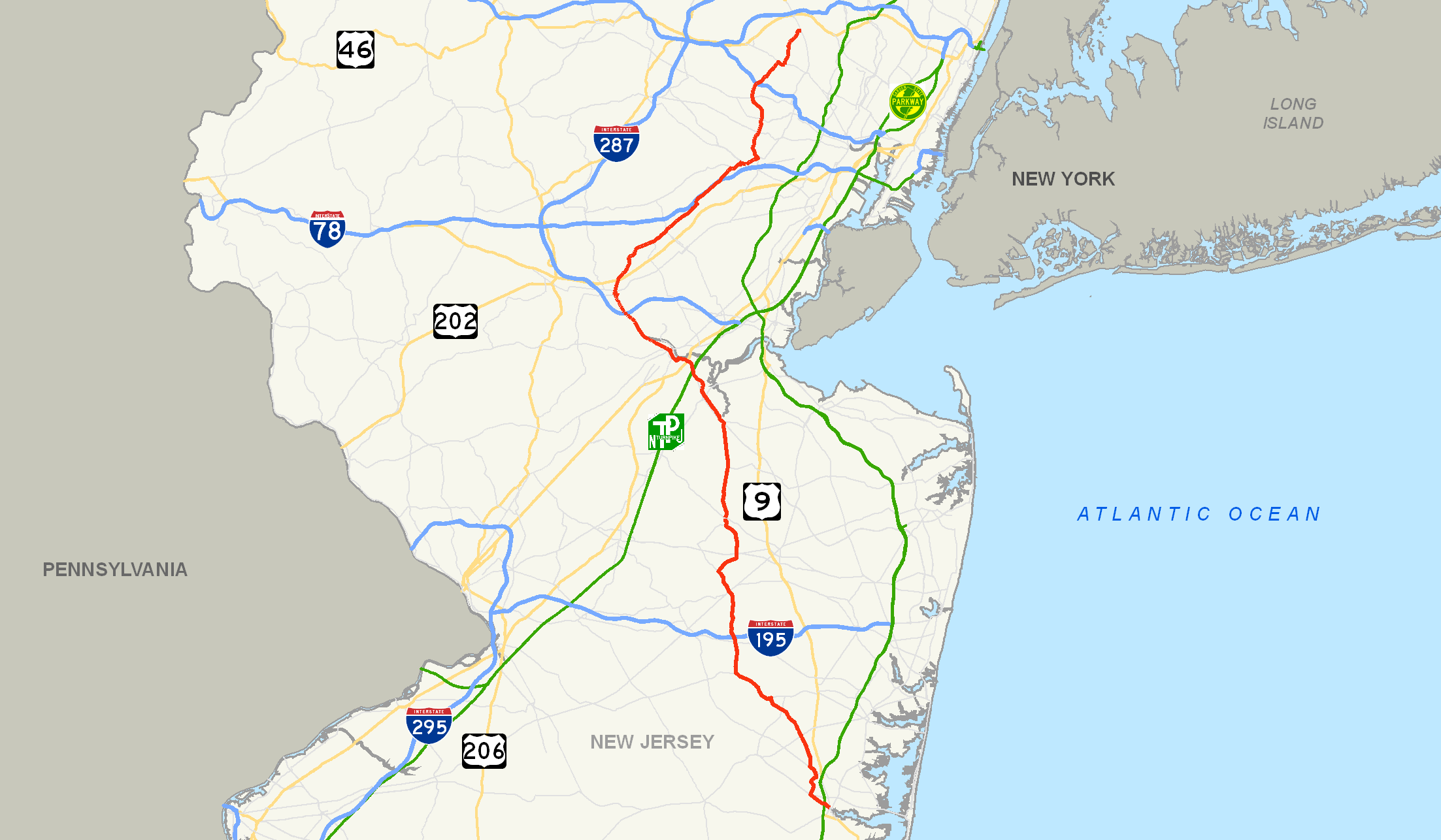
County Route 527 begins in the town of Toms River and quickly comes upon the Garden State Parkway at .53 miles. The first concurrency with a major road occurs at 38 miles (61 km) with Route 18. County Route 527 merges with NJ 18 twice in its length. CR 527 moves into Somerset County and Union County and soon Essex County. CR 527 ends at New Jersey Route 23 in Cedar Grove. Other notable intersections are with Interstates 195, 287, 78, 280 and 95.
Contents
Route description
County Route 527 begins at a traffic light with New Jersey Route 166 in Toms River.[1] Passing some local roads at the beginning, CR 527 crosses an interchange with the Garden State Parkway at .53 of a mile. More than a mile later, New Jersey Route 37 crosses 527 at a traffic light. Continuing through Toms River Township, County Route 571 merges into 527 for about 3/4 of a mile.[1] At 7.57 miles (12.18 km), State Route 70 crosses CR 527. Just past ten miles (16 km), County Route 547 crosses with Ocean County Route 3. Now in Jackson Township, at 15.49 miles (24.93 km), County Route 528 leaves to the right and Ocean County Route 628 leaves to the right.[1]
At 18.05 miles (29.05 km), County Route 526 and CR 527 intersect.[1] Less than a mile later, Interstate 195 interchanges with CR 527. At 19.61 miles (31.56 km), CR 527 changes from Ocean County to Monmouth County. On the Freehold/Millstone town border, County Routes 524 and 537 cross. Past 24 miles (39 km), the alternate to 527, CR 527 Alternate leaves to the left. At 26.61 miles (42.82 km), New Jersey Route 33 crosses at a traffic light in Manalapan. At 29.40 miles (47.31 km), the alternate route ends at the main road and CR 527 enters Englishtown soon after.[1] In Englishtown, CR 527 and CR 522 intersect and become a concurrency for about .07 of a mile. At 30.58 miles (49.21 km), CR 527 re-enters Manalapan for a short distance. At 31.50 miles (50.69 km), CR 527 enters Monroe Township which is in Middlesex County. 527 spends a short time in Monroe as it soon enters the town of Old Bridge. At 34.29 miles (55.18 km), County Route 520 crosses at a traffic light.[1]
After passing local roads in Old Bridge, CR 527 merges with New Jersey Route 18 for about one mile (1.6 km), entering the town of East Brunswick.[1] At 36.68 miles (59.03 km), CR 527 leaves to the right and continues into South River. Just before 41 miles (66 km), County Route 535 crosses 527 at a traffic light. Entering East Brunswick again, NJ 18 and CR 527 merge again for about four miles (6 km).[1] In this section, there are exits for Interstate 95 (the Turnpike), U.S. Route 1, New Jersey Route 172 and Paulus Boulevard. CR 527 then leaves onto State Route 172 into New Brunswick. Crossing New Brunswick's local roads, CR 527 then merges into the concurrency of State Route 27 and County Route 514. The concurrency lasts less than a mile, where 514 and 527 turn off NJ 27. At 47.08 miles (75.77 km), the concurrency with 514 ends and 527 continues into the outskirts of New Brunswick.[1]
At 48 miles (77 km), CR 527 enters Franklin Township, Somerset County and approximately a half-mile later, CR 527 splits into a four-lane highway.[1] The stretch does not last long as it ends at about 50.5 miles (81.3 km). At 51.21 miles (82.41 km), the roads split again and soon reach Interstate 287. At 52.13 miles (83.90 km), CR 527 crosses the town border and enters South Bound Brook. Soon entering regular Bound Brook, the road divides again into a divided highway at 53.35 miles (85.86 km). The divided highway merges together again at about 53.8 miles (86.6 km). At 54.3 miles (87.4 km), State Route 28 crosses.[1] After the intersection with NJ 28, CR 527 enters Bridgewater and crosses with U.S. Route 22. In Watchung, County Route 529 leaves to the right. Just past the 61-mile (98 km) mark, the road divides again for a short time. In between this divided stage, County Route 531 merges in. 531 leaves as the highways merge together again.[1]
Now in Union County, CR 527 crosses Interstate 78.[1] At 70 miles (110 km), State Route 24 crosses CR 527 in Springfield. Soon after, 527 spends a short time concurrent with State Route 124. CR 527 then enters Essex County after the concurrency ends.[1] At 71.55 miles (115.15 km), County Route 577 leaves to the right. Just before 74 miles (119 km), County Route 510 crosses.[1] At 75 miles (121 km), County Route 508 crosses at a traffic light. New Jersey Route 10 crosses at 77.26 miles (124.34 km) and then Interstate 280 crosses at 78 miles (126 km). In Caldwell, CR 527 merges with CR 506 for about .62 of a mile. CR 527 ends at an intersection with New Jersey Route 23 in Cedar Grove.[1]
History
The New Brunswick section of CR 527 was known as County Route 3R11 back in 1947. The parts south of that in Middlesex County was known as County Route 3R10.[2] By 1954, the road was known as County Route 527, part of the 500-series county roads adopted by the state of New Jersey.[3]
Two former spur routes of County Route 527 existed. The first County Route 527 Spur in Somerset County ran along what is now Somerset County Route 651, County Route 512, and Somerset County Route 613. The second County Route 527 Spur ran along what is now Essex County Routes 608 and 649.[4]
Major intersections
County Location Mile[1] Destinations Notes Ocean Toms River 0.00 Route 166 (Main Street) / CR 549 north0.53 US 9 / G.S. Pkwy.GSP exit 81 1.97  Route 37
4.10  CR 571 south (Indian Head Road)
South end of CR 571 overlap 4.85 CR 571 northNorth end of CR 571 overlap 7.57  Route 70
Jackson Township 10.30  CR 547 (South Hope Chapel Road)
11.71 CR 528 east (Lakewood Road)South end of CR 528 overlap 15.49 CR 528 west (West Veterans Highway)North end of CR 528 overlap 18.05 CR 526 (Commodore Boulevard)18.47 I-195I-195 exit 21 Monmouth Freehold Township 22.44 
 CR 524 / CR 537
Manalapan Township 24.38 
 CR 527 Alt. north
26.61  Route 33
29.40
CR 527 Alt. south (Iron Ore Road)Englishtown 29.97  CR 522 east (Tennent Street)
South end of CR 522 overlap 30.08 CR 522 west (Water Street)North end of CR 522 overlap Middlesex Old Bridge Township 34.29  CR 520 east (Texas Road)
37.86 Route 18 southInterchange, south end of NJ 18 overlap East Brunswick Township 38.68 Route 18 northInterchange, north end of NJ 18 overlap 40.92  CR 535 (Main Street)
42.92 Route 18 southInterchange, south end of NJ 18 overlap 43.58 Kennedy Boulevard Interchange 43.97 
 I-95 / NJ Turnpike
I-95/NJTP exit 9 44.25 Tower Center Boulevard Northbound interchange New Brunswick 44.64  US 1
US 1Interchange 45.28  Route 18 north / Route 172
Interchange, north end of NJ 18 overlap, south end of NJ 172 overlap 46.04 Route 172North end of NJ 172 overlap 46.53  Route 171 south (Livingston Street)
South end of NJ 171 overlap 46.74 
 Route 27 north / CR 514 east (Albany Street)
North end of NJ 171 overlap, south end of NJ 27/CR 514 overlap 46.90 Route 27 south (French Street)North end of NJ 27 overlap 47.08 CR 514 west (Hamilton Street)North end of CR 514 overlap Somerset Franklin Township 51.58 I-287I-287 exit 10 Bound Brook 53.60  CR 533 south (East Main Street)
53.94  Route 28 (East Union Avenue)
Bridgewater Township 54.85 US 22Interchange Watchung 59.47  CR 529 south (Washington Rock Road)
60.95  CR 531 south (Somerset Street)
South end of CR 531 overlap 61.05 CR 531 north (Hillcrest Road)North end of CR 531 overlap Union Summit 67.35 I-78I-78 exit 45 69.69  CR 512 west
Springfield Township 69.80  Route 24
NJ 24 exit 9A 70.08  Route 124 west
South end of NJ 124 overlap Essex Millburn 70.10 Route 124 eastNorth end of NJ 124 overlap 71.19  CR 577 (Main Street/Millburn Avenue)
73.57  CR 510 (South Orange Avenue)
Livingston 74.80  CR 508 (Northfield Avenue)
76.90  Route 10 (Mt. Pleasant Avenue)
Roseland 78.16 I-280I-280 exit 5 Caldwell 80.79  CR 506 west (Bloomfield Avenue)
South end of CR 506 overlap 81.41 CR 506 east (Bloomfield Avenue)North end of CR 506 overlap Cedar Grove 84.86 Route 231.000 mi = 1.609 km; 1.000 km = 0.621 mi CR 527 Alternate

County Route 527 Alternate
Location: Millstone Township - Manalapan Length: 5.88 mi[5] (9.46 km) County Route 527 Alternate is a county highway in the U.S. state of New Jersey. The highway extends 5.88 miles (9.46 kilometers) from Sweetmans Lane in Millstone Township, following Woodville Road and Iron Ore Road to Millhurst Road in Manalapan. It crosses Route 33 about halfway between its two termini, which are both at its parent, Route 527.[5]
See also
 U.S. Roads portal
 New Jersey portal
References
- ^ a b c d e f g h i j k l m n o p q r s "County Route 527 straight line diagram". Trenton, New Jersey: New Jersey Department of Transportation. 2009. http://www.state.nj.us/transportation/refdata/sldiag/00000527__-.pdf. Retrieved January 5, 2011.
- ^ 1947 Map of Middlesex County
- ^ Front of a 1953 Map of Middlesex County
- ^ Steve Alpert. "New Jersey Roads - NJ State Highways - CR 515-530". http://www.alpsroads.net/roads/nj/log/52.html#527s. Retrieved 2008-08-28.
- ^ a b NJDOT County Route 527 Alternate Straight Line Diagram (PDF) (NJDOT) (Straight line diagram)
External links
Categories:- County routes in New Jersey
- Transportation in Essex County, New Jersey
- Transportation in Middlesex County, New Jersey
- Transportation in Monmouth County, New Jersey
- Transportation in Ocean County, New Jersey
- Transportation in Somerset County, New Jersey
- Transportation in Union County, New Jersey

Wikimedia Foundation. 2010.