- Moira, New South Wales
-
Moira
New South Wales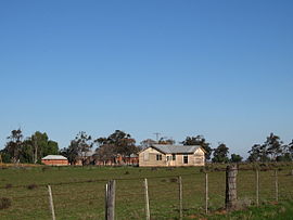
Moira homestead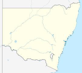
 Moira
MoiraPostcode: 2710 Coordinates: 35°55′37″S 144°50′52″E / 35.92694°S 144.84778°ECoordinates: 35°55′37″S 144°50′52″E / 35.92694°S 144.84778°E Elevation: 99 m (325 ft) Location: LGA: Murray Shire County: Cowper State District: Murray-Darling Federal Division: Farrer Moira is a rural community in the central south part of the Riverina and the site of a railway station. It is situated by road, about 11 kilometres north from Barnes and 15 kilometres south west from Mathoura.
Moira Post Office opened on 16 December 1879 and closed in 1970. [1]
Notes
- ^ Premier Postal History, Post Office List, https://www.premierpostal.com/cgi-bin/wsProd.sh/Viewpocdwrapper.p?SortBy=NSW&country=, retrieved 2009-06-11
External links
Categories:- Towns in New South Wales
- Towns in the Riverina
- Riverina geography stubs


Wikimedia Foundation. 2010.